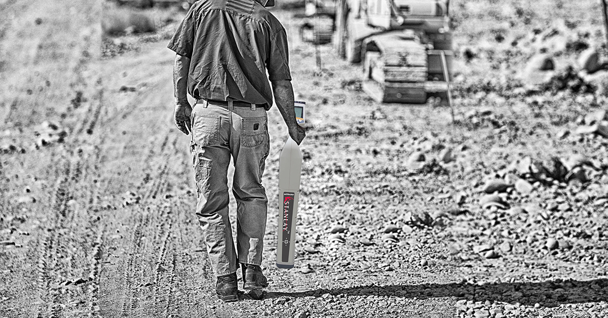

 As built maps of utilities are made in reference to specific points, which become null and void as the civic layout changes. Most times, such maps do not even exist. The utilities are often confronted with the task of ensuring expansion of buried services, without knowing the locations or routes of their utility assets. The contractor is bestowed the responsibility to execute the work of new installation of cables or pipes or even over ground structures such as fly overs, freeways or buildings without damaging existing buried cable and pipe utility services. The task faced by the contractor (or the user i.e the utility itself) is applicable to all types of utilities and especially buried utilities such as water pipes, sewer pipes, power cables etc. The onus of avoidance of buried utilities is of the contractor. Many a contractor recognize that they are faced with the task of mapping a jungle of underground utilities, that are a result of decades of installation of buried services such as sewer, water, power etc independently and without correlation to each other, as they were and are installed under tender or contract for installation of services for that specific user alone for example a telco, water board, municipality or a power discom. The mapping of such buried services , not detection but comprehensive development of maps of various types of buried utilities, requires both a background in surveying and construction and in depth knowledge of advanced GPRs and other associated underground locating devices such as pipe & cable locators, magnetic locators etc. While most contractors would want a one stop product solution to mapping of buried utility services, there isn't a single shot answer. The question in fact in relation to mapping of buried utilities , once again not detection of utilities, but mapping is : what to use, when to use , how to use which decides how efficiently the utilities are mapped. the answer to what to use is decided by the level of survey that the user or contractor desires. The level of surveys for underground utility mapping can be categorized as follows :
| Level 1 survey | Desk top survey involving a search of existing utility records. This can be consolidated onto one plan in CAD and overlain onto base mapping as an option. Can be used to target more detailed fieldwork |
| Level 2 survey | A Visual walkover survey carried out as a site visit. This would normally be in addition to a Level 1 survey and act as a reconnaissance on large projects to advise on the letting of the main utility survey. The site visit would be much enhanced if the results of the level 1 survey were to hand for the walk over survey. |
| Level 3 survey | Electro-magnetic location survey in passive and active mode with located services being marked onto ground surface.Includes cover lifting to allow line threading / sonding. Recorded manhole survey can beadded as an option.Advisable to have Levels 1 & 2 surveys carried out in addition |
| Level 4 survey | A Level 3 survey but with the addition of ground probing radar (GPR) in stake out mode to supplement EML results. Advisable to have Levels 1 & 2surveys carried out in addition. |
| Level 5 survey | A Level 3 survey but with recorded close centred GPR over an agreed % of the whole site complete with post data collection processing, analysis and interpretation.Line & depth marked onto digital site plans in CAD. |
| Level 6 survey | A Level 3 survey but with the addition of recorded GPR Survey over 100%of the site with post data collection processing, analysis and interpretation.Line & depth marked onto digital site plans in CAD. Intrusive trial holes to verify results can be added as an option |
Given the comprehensive nature of the subject, please write to the Stanlay team of underground locating equipment experts at sales@stanlay.com to share with us the details of your underground utility mapping project to allow us assist in a more informed manner.