


.png)
.jpg)


.png)
.png)


.png)


.png)


.jpg)
What technology does the SML2 locator use?
SML2 uses RFID (Radio Frequency Identification) electronic marker detection
It works by:
• Sending a signal to buried RFID markers
• Receiving response from marker
• Identifying asset type and data


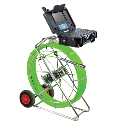
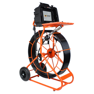
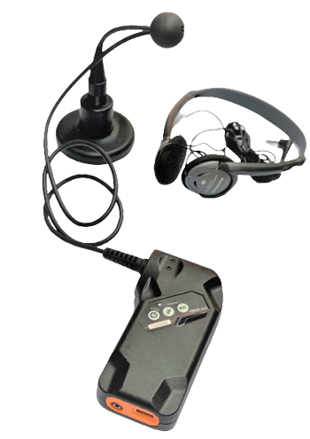
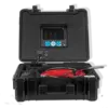
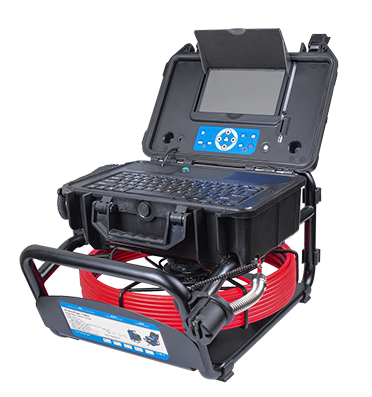
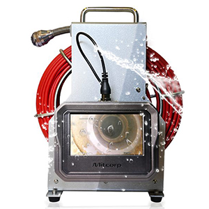
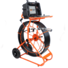
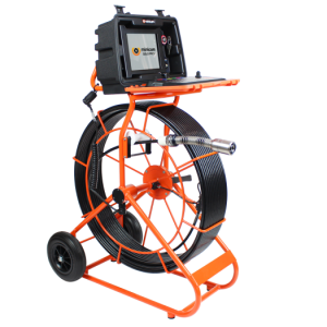
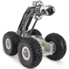
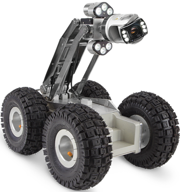
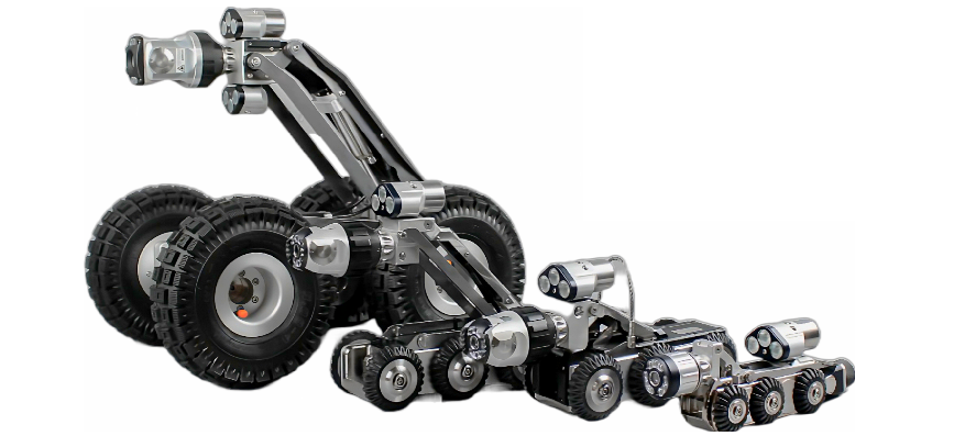
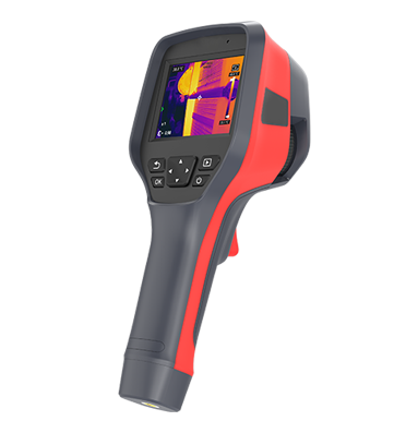
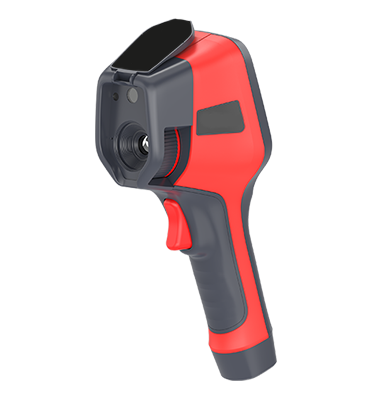
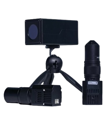
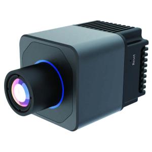
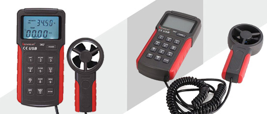
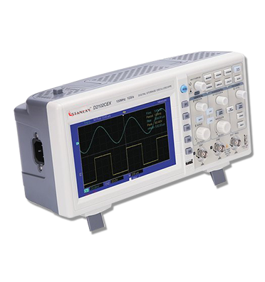
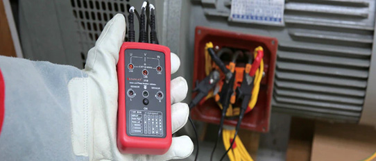
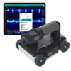
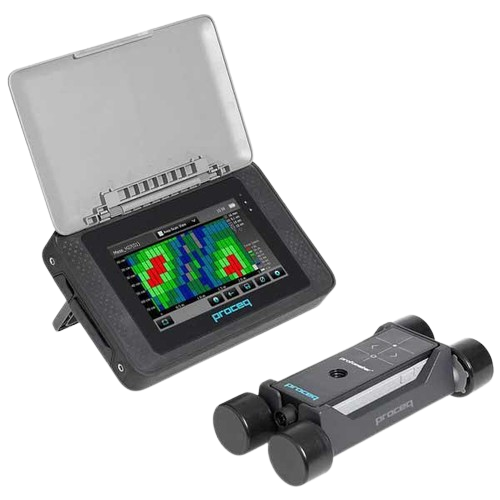
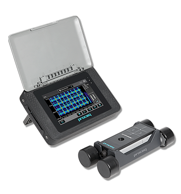
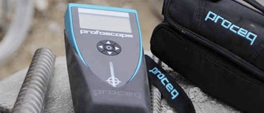
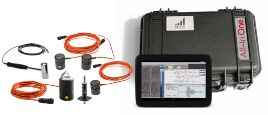
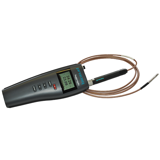
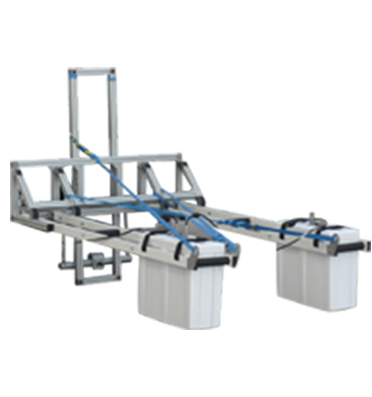
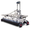
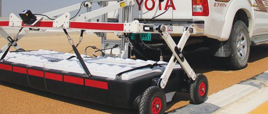
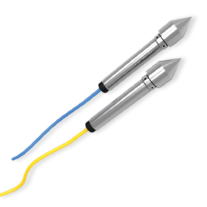
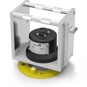
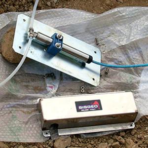
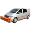
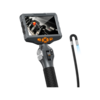
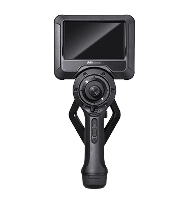
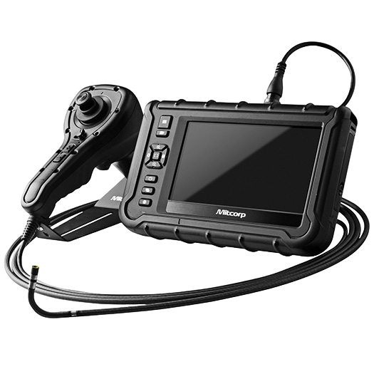
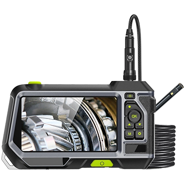
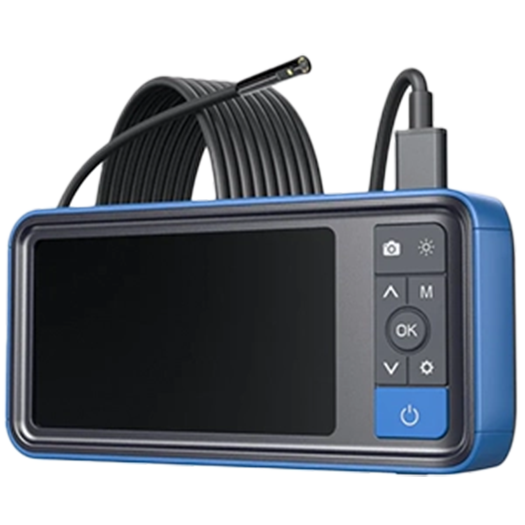
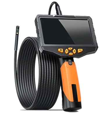
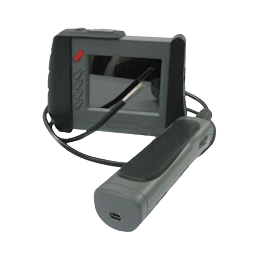
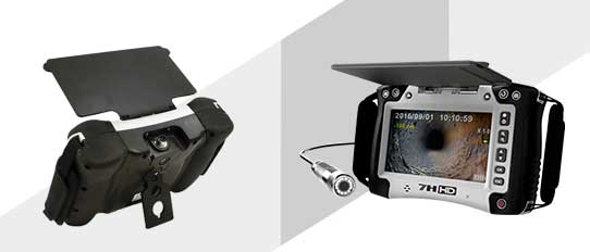
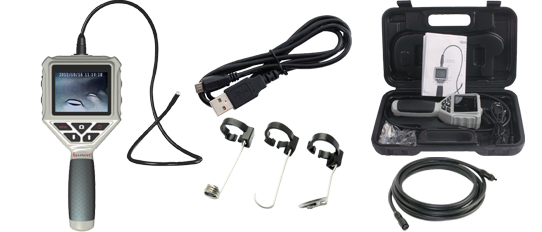
 Pipe Inspection Camera System
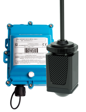
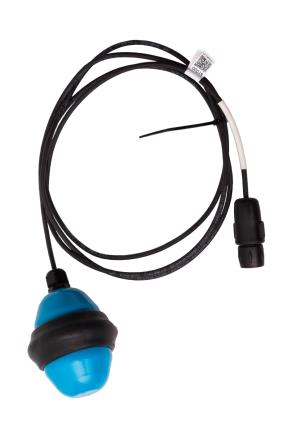
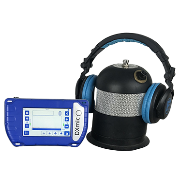
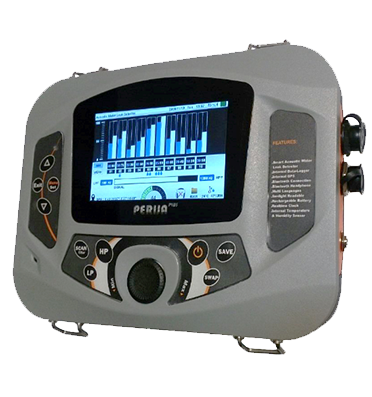
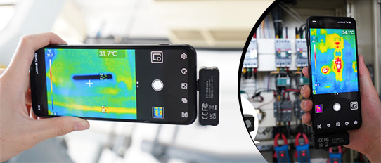
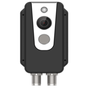
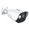
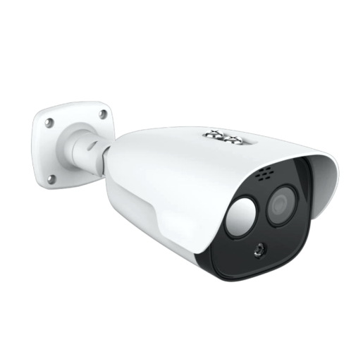
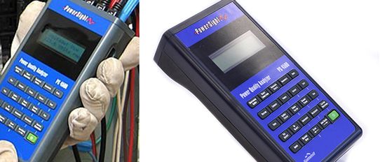
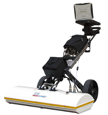
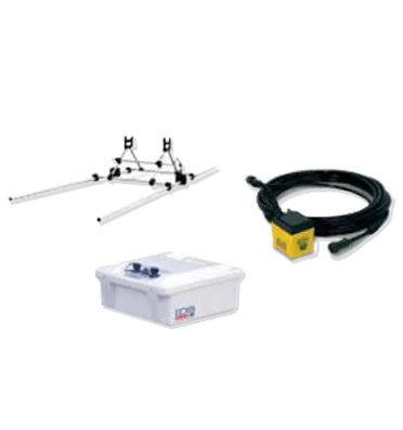
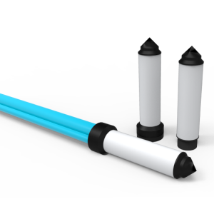
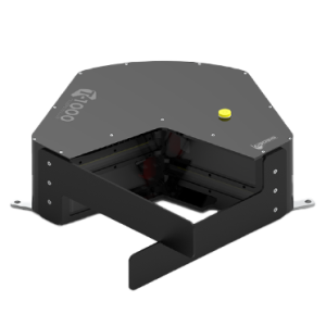
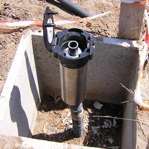
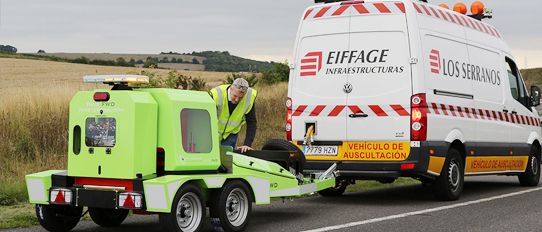
 Sewage Overflow Monitoring
Sewage Overflow Monitoring
Sewage Overflow Monitoring
Sewage Overflow Monitoring
Sewage Overflow Monitoring
Sewage Overflow Monitoring
Sewage Overflow Monitoring
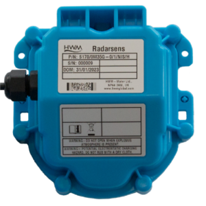
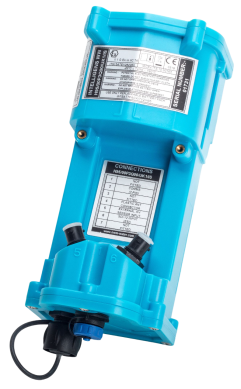
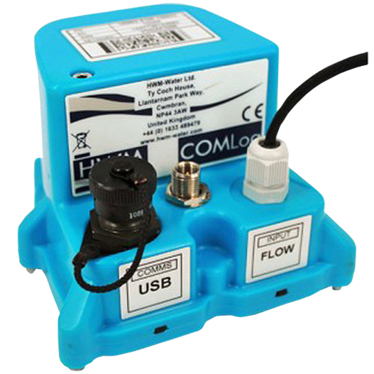
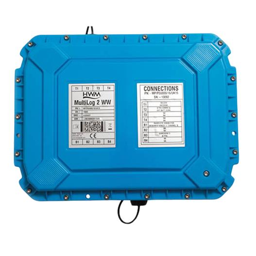
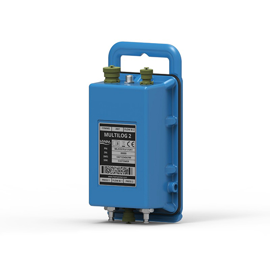
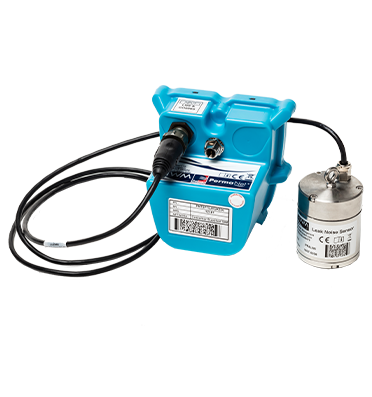
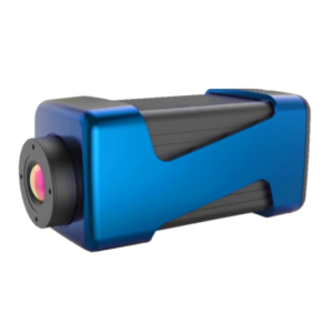
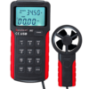
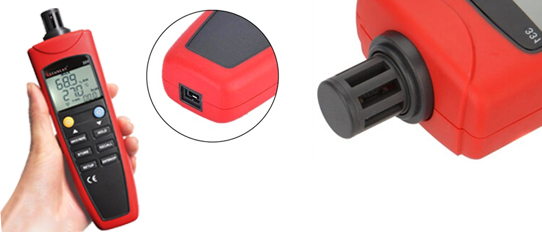
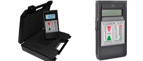
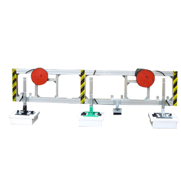
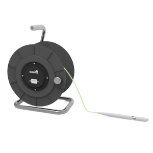
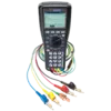
 Water Network Loggers
Water Network Loggers
Water Network Loggers
Water Network Loggers
Water Network Loggers
Water Network Loggers
Water Network Loggers
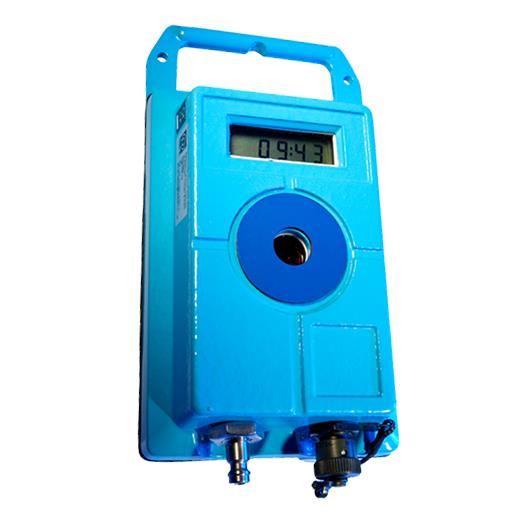
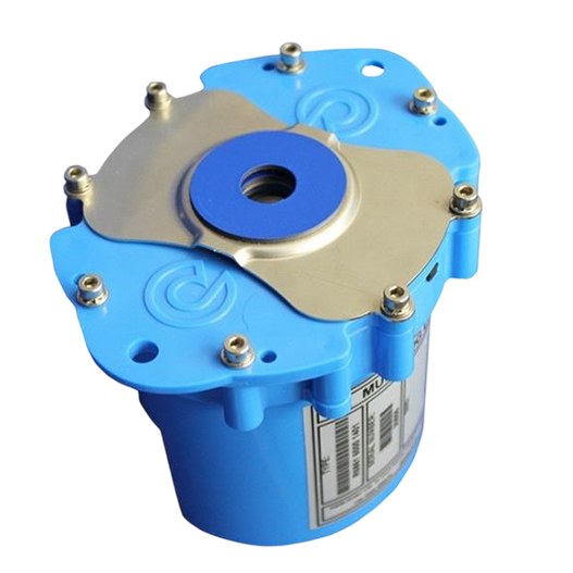
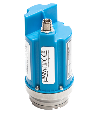
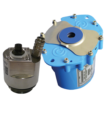
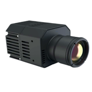
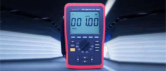
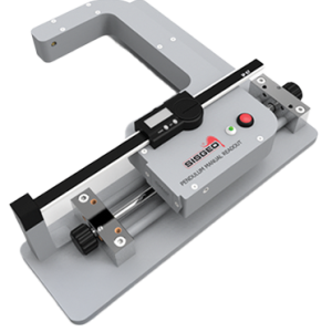
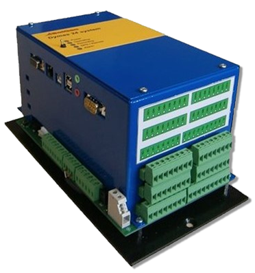
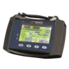
 Pressure Controller
Pressure Controller
Pressure Controller
Pressure Controller
Pressure Controller
Pressure Controller
Pressure Controller
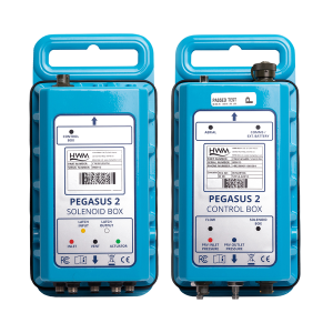
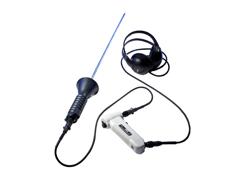
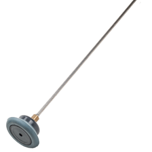
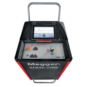
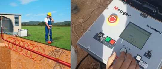
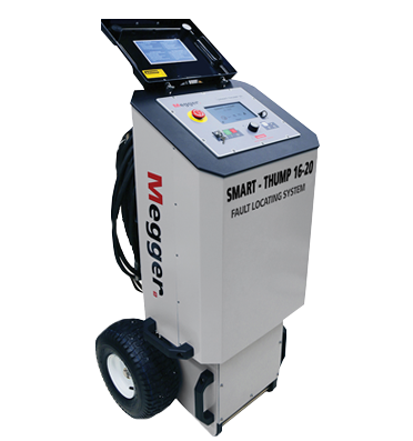
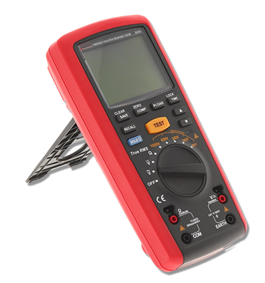
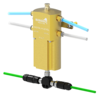
 Water Leak Detection System
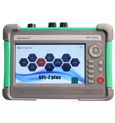
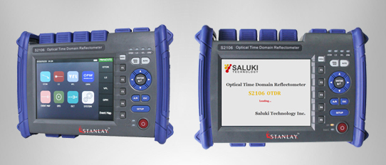
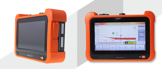
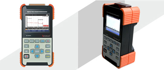
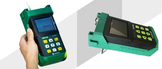
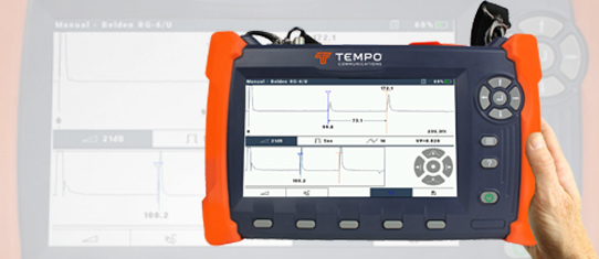
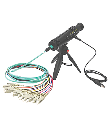
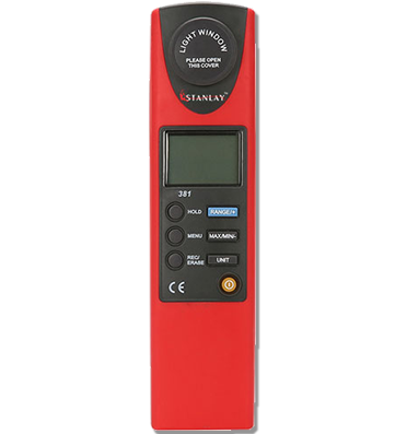
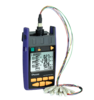
 OTDR
OTDR
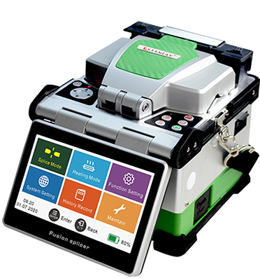
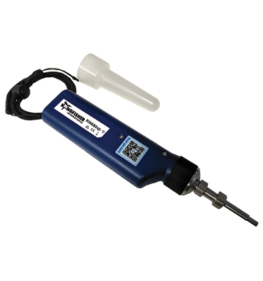
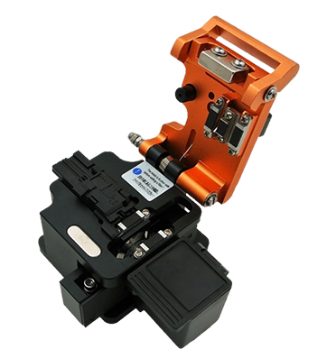
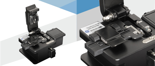
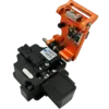
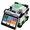 Fiber Optic Splicing Machine
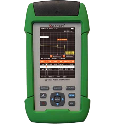
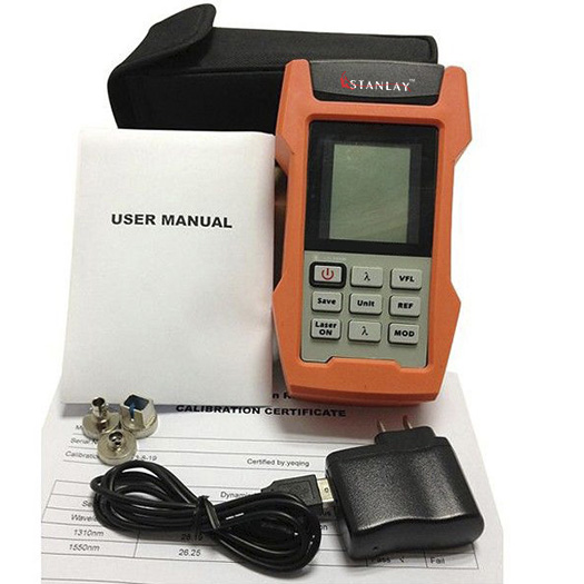
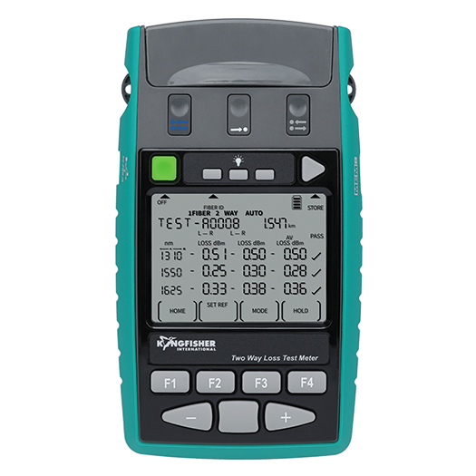
 Optical Loss Test
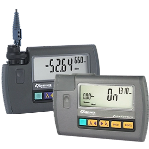
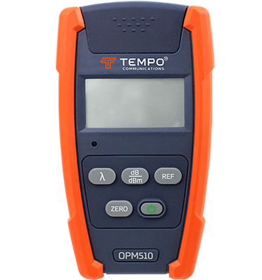
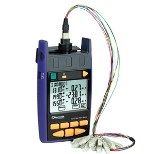
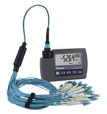
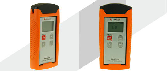
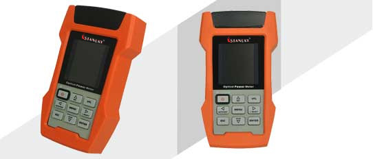
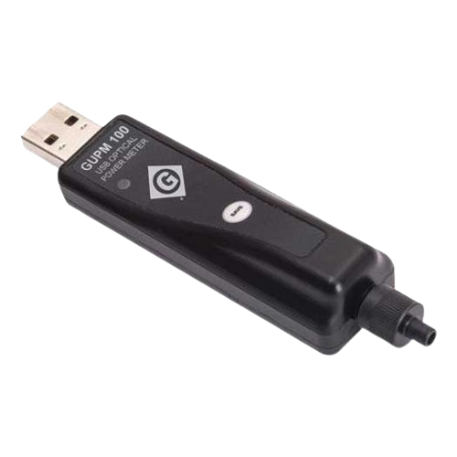
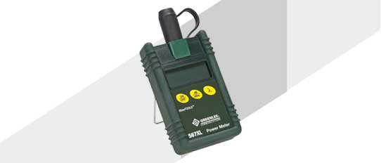
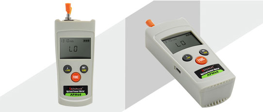
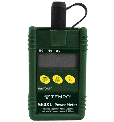
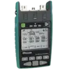
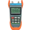
 Optical Power Meters
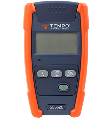
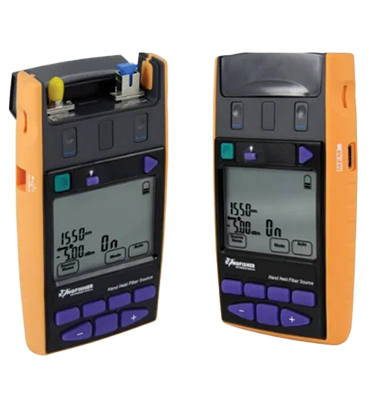
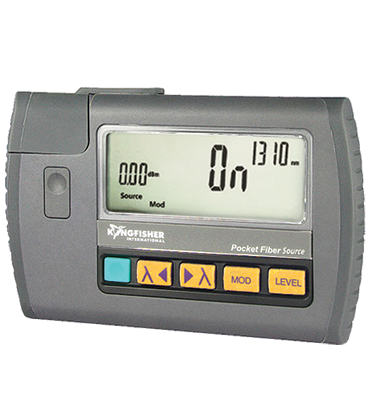
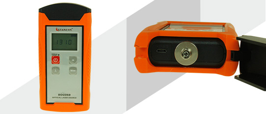
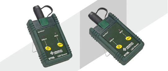
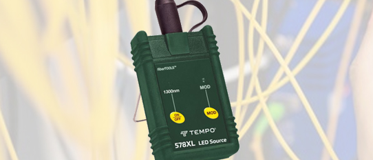
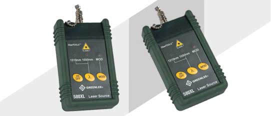
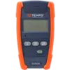 Optical Light Source
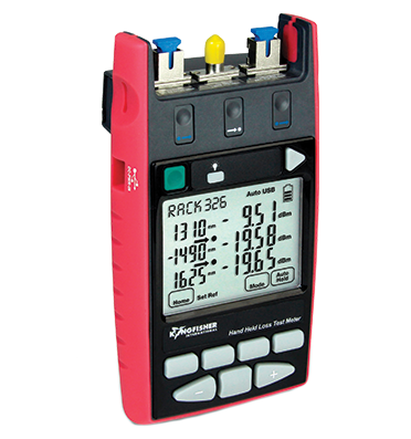
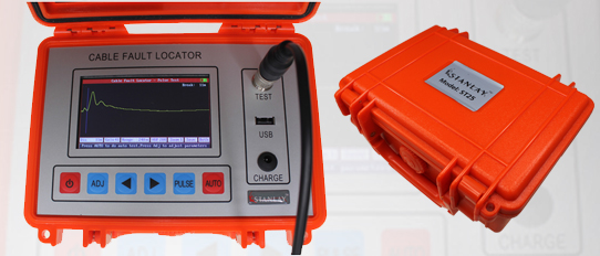
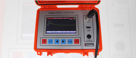
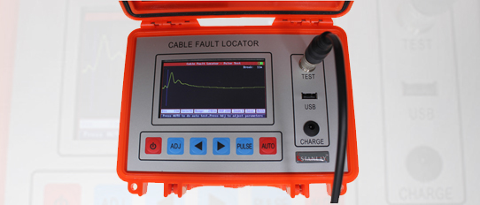
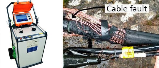
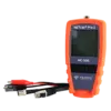
 TDR Cable Fault Locator
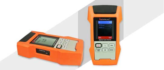
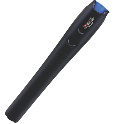
 Fiber Optic Visual Fault Locators
 Network Analyzer
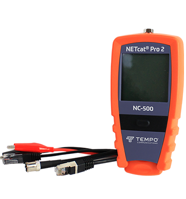
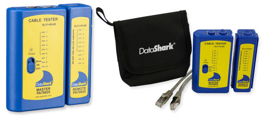
 Lan Testers
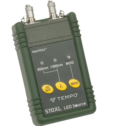
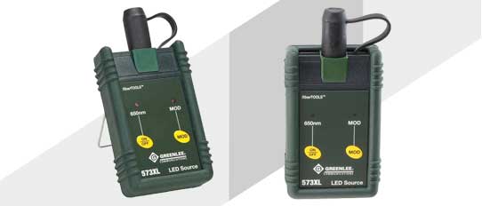
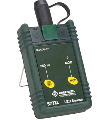
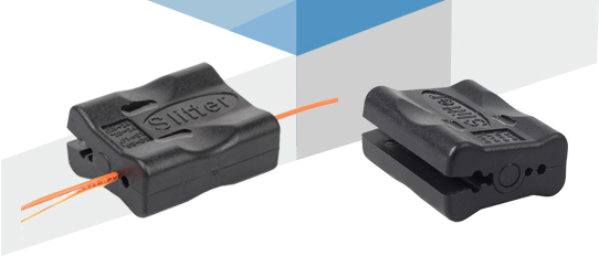
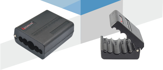
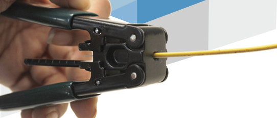
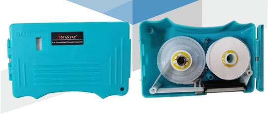
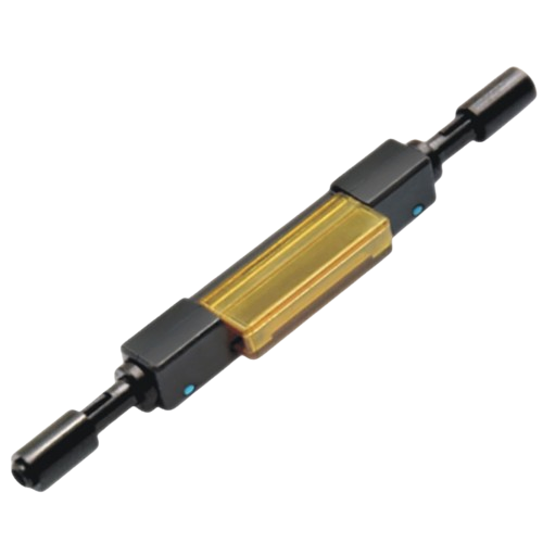
 Fiber Tools
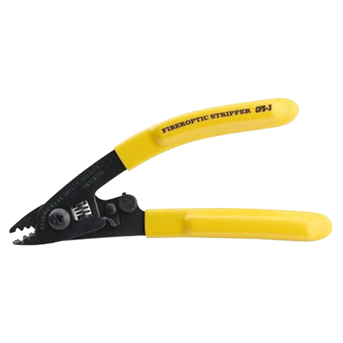
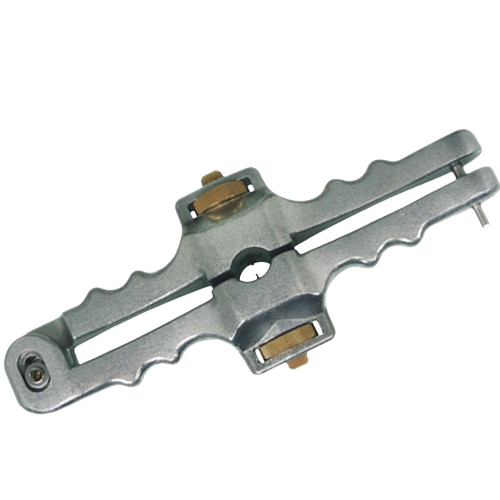
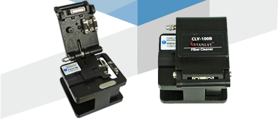
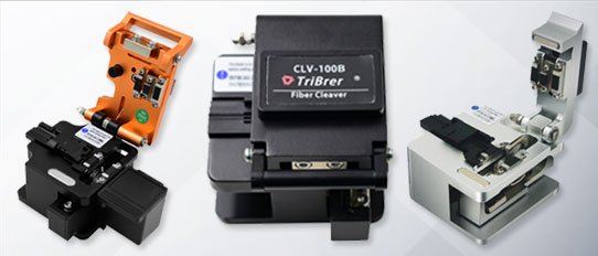
 Fiber Cleavers
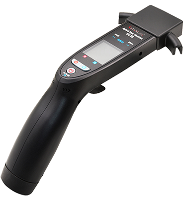
 Optical Fiber Identifier
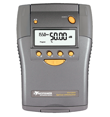
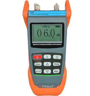
 Fiber Optical Attenuator
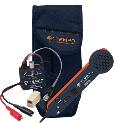
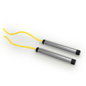
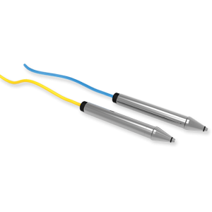
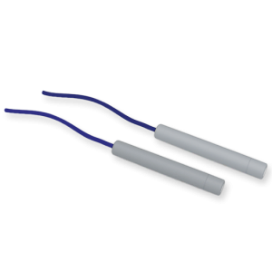
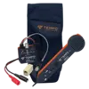 Tone & Probe Kit
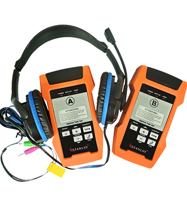
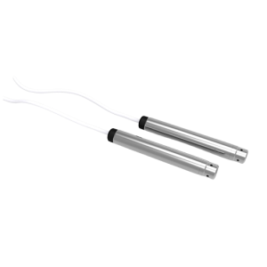
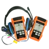 Fiber Optical Talk Set
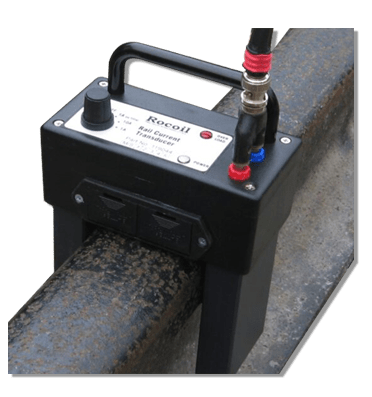
 Rocoil Rail Current Transducer
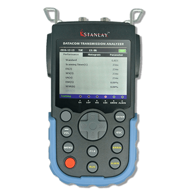
 Bit Error Rate Tester
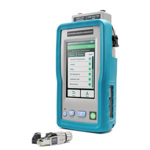
.png) Network Service Assisitants
Network Service Assisitants
Network Service Assisitants
Network Service Assisitants
Network Service Assisitants
Network Service Assisitants
Network Service Assisitants
Network Service Assisitants
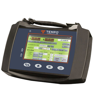
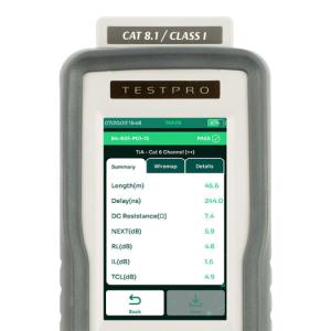
 Network Qualification Testers
Network Qualification Testers
Network Qualification Testers
Network Qualification Testers
Network Qualification Testers
Network Qualification Testers
Network Qualification Testers
 Fiber Certification Testers
Fiber Certification Testers
Fiber Certification Testers
Fiber Certification Testers
Fiber Certification Testers
Fiber Certification Testers
Fiber Certification Testers


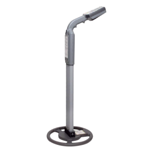
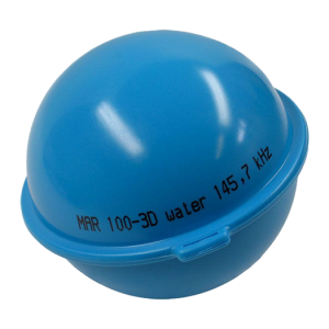
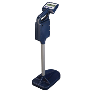
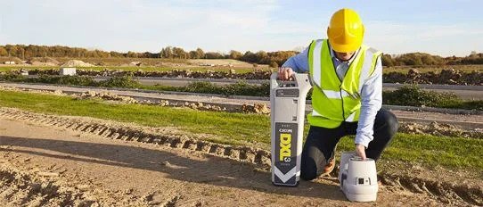
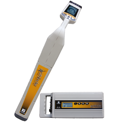
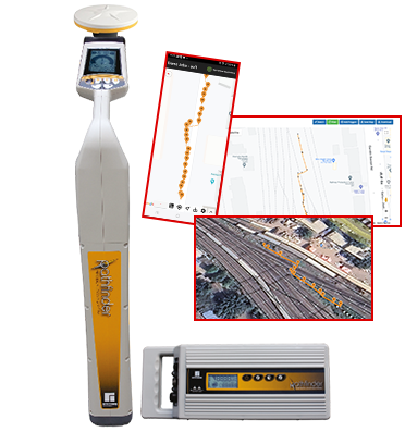
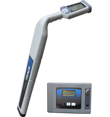
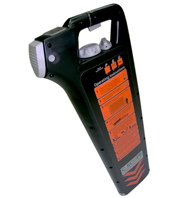
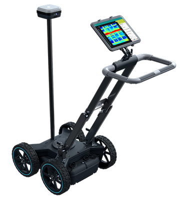
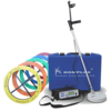
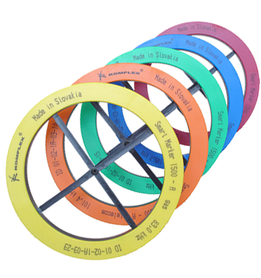
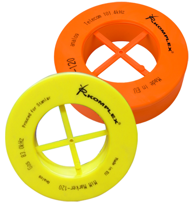
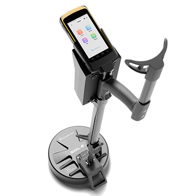
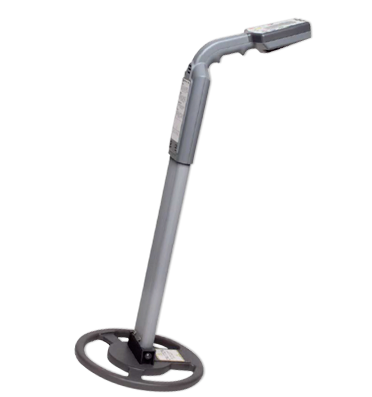
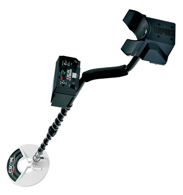
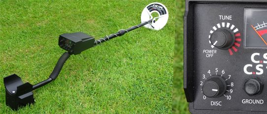
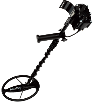
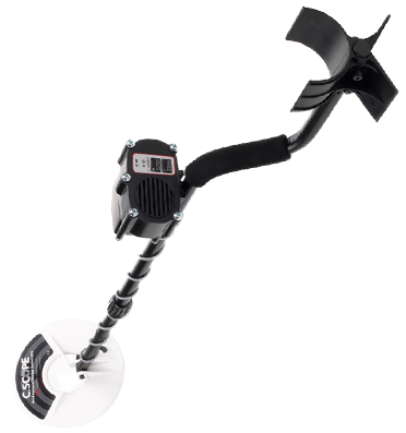
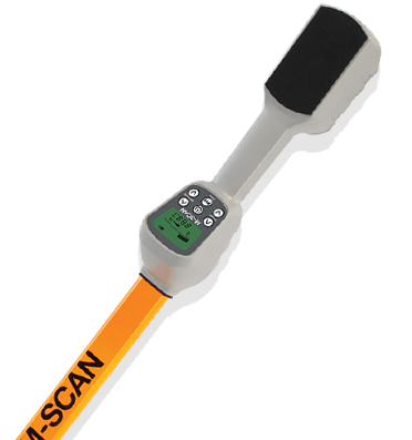
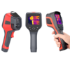
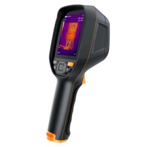
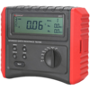
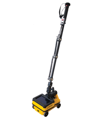
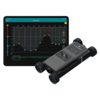
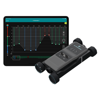
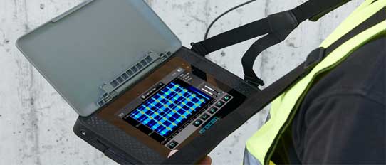
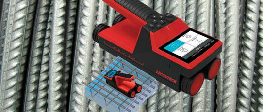
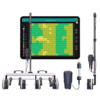
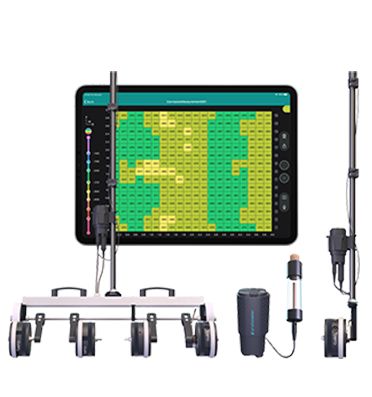
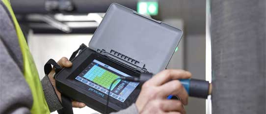
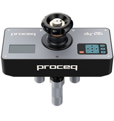
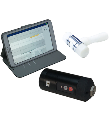
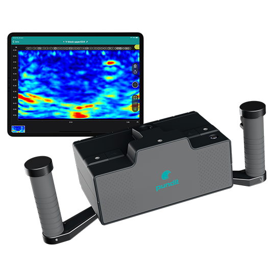
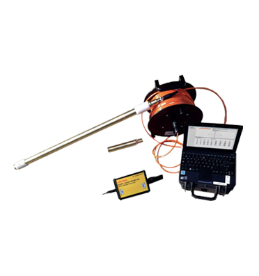
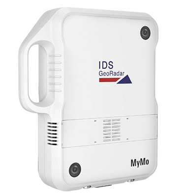
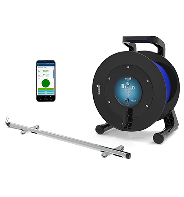
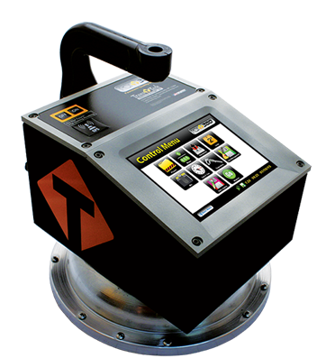
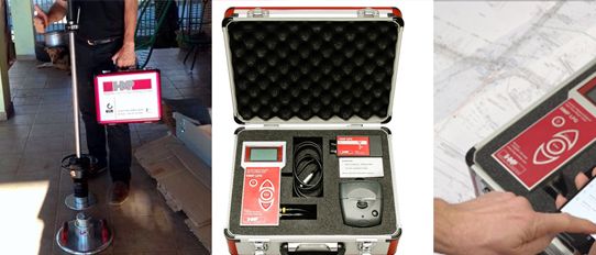
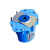
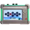
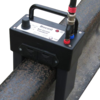
The SML 2 Smart RFID Electronic Marker Locator is a next-generation, advanced RFID underground marker detection system designed for the precise detection, identification, and documentation of buried infrastructure. Compatible with both standard analog markers and Komplex® RFID Smart Markers featuring unique ID codes, the SML 2 offers a powerful, user-friendly solution for permanent utility marking.
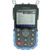
Engineered on an integrated, industrial-grade Android mobile computing platform with real-time cloud connectivity, the SML 2 enables seamless on-site acquisition of RFID marker locations with GPS coordinates (Based on its BUILT-IN GPS) at the time of installation, along with the immediate creation of GIS maps and databases—all during the installation process.
This fully automated solution eliminates the need for office-based programming or post-field data uploads, allowing for instant synchronization and field-ready deployment. Designed to support the accurate marking of underground utilities and simplify the process of navigating back to existing infrastructure, the SML 2 transforms traditional detection into a digitally empowered, efficient field solution—ideal for Operations & Maintenance of buried utility assets.
GNSS Compatibility: The SML2 is capable of being additional connectivity to an external GNSS RTK receiver for capturing coordinates with 2-5 cms accuracy.
The SML 2 Smart RFID Electronic Marker Locator is a handheld locator that helps field technicians, engineers, and utility professionals find and identify underground markers used for mapping and asset management. It not only detects markers, but also:
|
Category |
Specification |
|
Operating System |
Android |
|
Operating Frequencies |
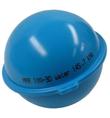
83.0 kHz, 101.4 kHz, 121.6 kHz, 134 kHz, 145.7 kHz (requires corresponding antenna for each frequency) |
|
Processor |
Octa-core 1.8 GHz |
|
Memory |
16 GB Flash / 4 GB RAM |
|
Expandable Storage |
Micro SD card slot |
|
SIM/SAM Slots |
2 SIM slots and 1 SAM slot |
|
Wireless Communication |
WWAN (2G, 3G, 4G), WLAN, WPAN, Bluetooth® |
|
GPS |
Built-in GPS, AGPS, GLONASS, BeiDou, Galileo |
|
Barcode Scanning |
2D imager / Mid-range 2D imager |
|
Camera |
13 Megapixels, Autofocus, f/2.0 aperture |
|
Display |
4.7" HD (720 x 1280), capacitive touchscreen supporting bare/wet/gloved finger and stylus inputs |
|
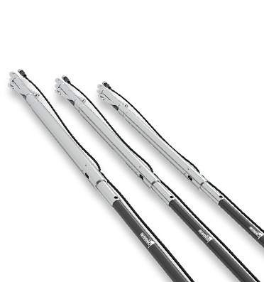
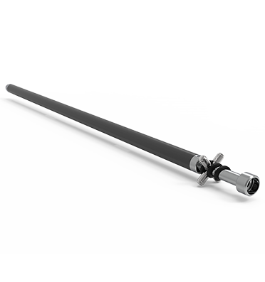
Antenna Bar Length |
Telescopic, Adjustable: 85–116 cm |
|
Weight |
Maximum 2.5 kg |
|
Dimensions (HxWxD) |
26 x 37 x 90 cm |
SML2 uses RFID (Radio Frequency Identification) electronic marker detection
It works by:
• Sending a signal to buried RFID markers
• Receiving response from marker
• Identifying asset type and data
Typically up to ~1.5 to 2 meters (depending on marker type)
Highly precise (pinpoint accuracy)
Detects exact marker position
No ambiguity like cable tracing
Digital LCD display shows:
• Marker type
• Signal strength
• Stored data
SML2 captures:
• GPS coordinates
• Marker ID
• Photos
• Notes
all in real time through its integrated Android interface, eliminating paperwork and post-field data entry.
The device automatically generates GIS maps during installation using built-in GPS and mapping tools, removing the need for separate surveying or office-based processing.
With real-time cloud synchronization, wireless data transfer, and integrated tools (camera, scanner, GPS), SML2 significantly reduces field time and speeds up project execution.
Yes, SML2 supports offline data storage, allowing field operations without connectivity and syncing automatically once internet is available.
Yes, the integrated mobile computing platform allows a single operator to perform complete asset marking, mapping, and documentation, reducing manpower requirements.
Unlike basic systems, SML2 offers:
• Real-time cloud data sync
• Built-in GPS & GIS mapping
• Camera & barcode scanner
• Android-based mobile computing
making it a complete digital field solution, not just a locator.
It is suitable for:
• Power cables
• Optical fiber networks
• Gas & water pipelines
• Sewer systems
• Smart city infrastructure
Yes, SML2 is ideal for smart infrastructure, telecom, railways, and utility networks, where digital asset tracking and mapping are critical.
By creating a centralized digital database of underground assets, it reduces:
Re-survey costs
Excavation errors
Maintenance delays
and improves overall asset lifecycle management.
With precise GPS-tagged marker data and navigation features, teams can quickly locate exact asset positions, reducing downtime and improving response time.
Yes, the device is built on an IP68 rugged industrial platform, making it suitable for dust, water, and tough site conditions.
With built-in GPS and optional RTK GNSS integration (2–5 cm accuracy), the system provides highly precise location data for critical applications.
Yes, the SML2 supports GNSS upgradability via Bluetooth connectivity.
When connected to a GNSS RTK device:
Accuracy improves to ~2–5 cm
Via Bluetooth connection to compatible GNSS RTK receivers.
Industrial-grade 4.7" HD (720 x 1280) LCD display, capacitive touchscreen supporting bare/wet/gloved finger and stylus inputs.
• High-resolution touchscreen display
• Built-in web browser
• Android OS environment
Yes
Allows scanning of:
• QR-coded assets
• Marker labels
• Documentation tags
Yes
Yes
Yes, Marker Database® software
• Stores asset data
• Manages marker records
• Enables GIS integration
Yes: Offline working mode available
Data can be:
• Stored locally
• Synced later
Type your question in the Search box , fill in your name, and email ID and press send.
We will respond with the answer. Rest assured that we respect your privacy, and your details will remain confidential.