- Underground Locating Equipment
- Buried Pipe and Cable Locators
- DXL4 Cable Avoidance Tool
- MXL4 Pipe & Cable Locator
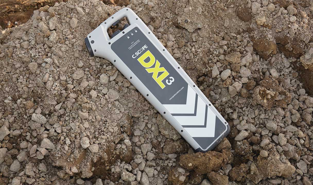
- DXL3 Cable Avoidance Tool
- STLOC10 GPS Pathfinder Pipe & Cable Route Tracer
- STLOC10 Pathfinder Pipe & Cable Tracer
- Pathfinder PLDL Survey Grade RTK GNSS Mapping Pipe & Cable Route Tracer
- STLOC3 Buried Pipe Cable Route Locating Equipment
- STLOC5 Pathfinder Pipe & Cable Locator
- Non Metallic PLB Telecom Duct Route Tracing System
- Cat 33 XD Cable Avoidance Tool
- Underground Utility Mapping GPR
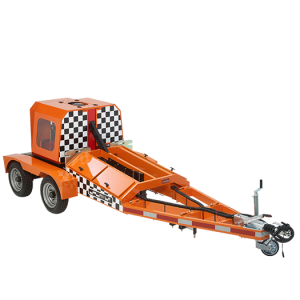
- Traceable Duct Rodder
- Electronic Markers and Locators
- Metal Detectors
- Manhole Cover Locator
- Ferromagnetic locator
- Buried Pipe and Cable Locators
- Cable Installation Equipment
- Water & Sewer line maintenance
- Pipe Inspection Camera System
- Water Leak Detection System
- DXmic Pro Digital Ground Microphone Water Leak Detector
- Lmic Water Leak Ground Microphone & Electronic Listening Stick
- PermaNet+ GPRS/4G Enabled Correlating Leak Noise Logger
- PermaNET SU LTE-M & NBIoT-enabled Correlating Leak Noise Logger
- PCorr+ Correlating Noise Logger
- Patroller 4 Wireless Transceiver
- Touch Pro High Performance Water Leak Noise Correlator
- Hydrophone 2 High Performance Plastic & Trunk Main Sensor
- PermaNET TM GPS Multi-Parameter Water Trunk Main Leak Detection
- ST20 Listening Stick
- Perija Plus Underground Water Leak Detector
- Perija Mini V-Pickup
- Perija Mini Vpro Water Leak Estimator
- Telecom Test Equipment
- OTDR
- Fiber Optic Splicing Machine
- Optical Loss Test
- Optical Power Meters
- Optical Light Source
- SLS 500 Optical Light Source
- KI 2800 Handheld Optical Light Source
- KI 9800 Pocket Fiber Optic Light Source
- AOS210 Optical Laser Source
- BOU350 Optical Laser Source
- 570XL-AS100-EMI Light Source
- 573XL 650nm LED Source
- 577XL AS100 850nm LED Source
- 577XL 850nm LED Source With M90
- 578 XL M90 1300nm LED Source
- 580 XL-EMI
- TDR Cable Fault Locator
- Fiber Optic Visual Fault Locators
- Network Analyzer
- Lan Testers
- Fiber Tools
- KI6680 Mini Fiber Inspection Probe
- KI 6610 Handheld Fiber Inspection Microscope
- Three Hole Optical Fiber Stripper TK-3
- Mid Span Slitter TK-11
- Mid Span Slitter TK-26
- Optical Fiber Cable Jacket Slitter TK-10
- Drop Fiber Cable Stripper TK-14
- Kevlar Cutter TK-25
- Single Fiber Protection Sleeve TK-15
- One-click Cleaner TK-20
- Cleaning Cassette TK-19
- Mechanical Splicer TK-30
- Fiber Cleavers
- Optical Fiber Identifier
- Fiber Optical Attenuator
- Tone & Probe Kit
- Fiber Optical Talk Set
- Rocoil Rail Current Transducer
- Bit Error Rate Tester
- Megger Cable Fault Test & Diagnostics
- Thermal Imaging Camera
- Handheld Thermal Imaging Camera
- STX 480/640 Handheld Auto & Manual Focus Thermal Imaging Camera
- S280 Handheld Thermal Imaging Camera
- S280 Pro Handheld Thermal Imaging Camera
- S300N-M Manual Focus Thermal Imaging Camera
- S320-M Manual Focus Thermal Imaging Camera
- S500-M Manual Focus Thermal Imaging Camera
- S600 Manual Focus Handheld Thermal Imaging Camera
- ST-120 Mobile Thermal Imaging Camera
- Fixed 24x7 Monitoring Thermal Imaging Camera
- Security Thermal Imaging Camera
- Handheld Thermal Imaging Camera
- Electrical Test & Measurement
- Personal Safety Voltage Detectors
- High Voltage Utility Testers
- Digital Multimeters
- SMM180 Trend Capture True RMS Datalogging Multimeter
- STANONE SMM606 20A True RMS Multimeter
- SMM909 Digital Multimeter
- SMM198 True RMS 20A Professional Multimeter
- 71D 40000 Counts True RMS Datalogging Multimeter
- 196 1700V DC True RMS Solar Multimeter
- 33A+ Palm Size Digital Multimeter
- 61D 10 A True RMS Multimeter
- 61A 10 A True RMS Multimeter
- 61E 10 A True RMS Multimeter
- 33 D+ Palm Size Digital Multimeter
- Clamp Meters
- STANONE SCM208 1000A True RMS Digital High Performance Clamp Meter
- STANONE SCM 204 AC/DC Digital Clamp Meter
- 1000 A AC Digital Clamp Meter 205A
- 2000 A AC/DC Digital Clamp Meter 221
- AC Digital Clamp Meter 201+
- STAN ONE SCM222 60A High Precision Clamp Meter
- High Voltage Clamp Ammeter 255A/B
- Power And Harmonics Clamp Meter 243
- True RMS Flex Clamp 281A/C/E
- Leakage Clamp Meters
- Insulation & Earth testers
- STAN ONE CET180 Clamp Earth Ground Tester
- STAN ONE CET 500 Digital Clamp Earth Resistance Tester
- SET500 Digital Earth Ground Tester
- 3/4 Wire Digital Earth Ground Tester 572
- STAN ONE SIT500 1KV Insulation Tester
- LV 1KV Insulation Tester 511
- 5 KV HV Insulation Tester 513
- 5 KV HV Insulation Tester 513B / 513C 5KV HV Digital Insulation Resistance Tester
- 12 KV HV Insulation Tester 516B
- Micro Ohm Meter 620A
- LV Handheld Insulation Tester Cum Multimeter 505A
- Temp/Light/Air/Sound Testers
- Oscilloscopes
- Current & Voltage Testers
- Infrared Thermometers
- Construction Surveying Equipment
- Laser Distance Meters
- Laser Level
- Digilevel 60 Inclinometer
- Digilevel Compact Inclinometer
- Revolution 310S Rotary Laser
- 5 Beam Laser Pointer
- Altimeter Ziplevel Leveling Measurement Instrument
- Auto Cross Laser ACL 2CRX Automatically Leveled Crossline Laser
- Crossliner ACL2RX Automatically Leveled Crossline Laser
- Evolution Cross Laser 8PRX Automatically Leveled 8 Beam Laser
- Auto Line Laser 3D Plus
- Concrete NDT Testing Equipment
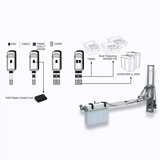
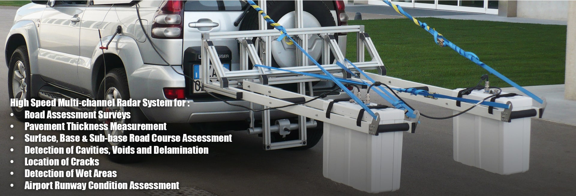
- Ground Penetrating Radar Equipment
- Geotechnical & Structural Monitoring
- Pavement Testing Equipment
- Material Inspection Gauges
- Portable Hardness Testers
- Material & Coating Thickness
- ZX-1 Ultrasonic Thickness Gauge
- ZX3 Ultrasonic Thickness Gauge
- ZX5-Data Logging Ultrasonic Thickness Gauge
- ZX-6 Multi Echo Material Thickness Gauge
- CMX : Material Coating & Thickness Gauge
- Digital Ultrasonic Material Thickness Gauge - 160
- MX2-DL Ultrasonic Thickness Gauge
- PZX-7 Precision Thickness Gauge
- PMX2-DL Ultrasonic Precision Thickness Gauge
- MFD 500 Ultrasonic Flaw Detector
- ST310 Hardness Tester
- Bolt Tension Monitors
- Video Borescopes
- X750 Articulated Industrial Videoscope
- X2000 High Performance 4-Way Articulated HD Video Borescope
- STD500 2-Way Articulating Borescope
- SVTS850 Rotating Dual View Borescope
- STAN ONE SVBS450 Long Length Video Borescope Inspection Camera
- STAN ONE SVBS300 Video Borescope Inspection Camera
- ST WVBS
- 7" (Inch) High Resolution TFT Display Industrial Borescope MEGA-7
- STVB27R1M 2.7†LCD Video Recording Borescope
- Ultrasonic Flaw Detectors
- Coating thickness gauge
- Pipe Inspection Camera
- Catalogues
- Experience
- Video & training
- About Us
- Career
- Contact


