


.png)
.jpg)


.png)


.png)
.png)


.png)


.png)


.jpg)
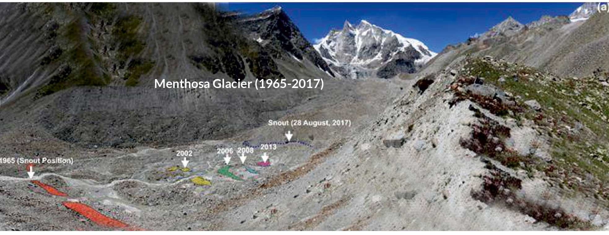
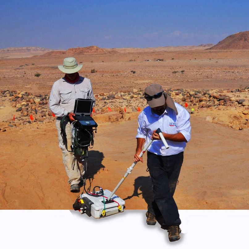
Assessment of Decadus Terminus Position changes & Ice thickness measurement by RIS Plus GPR for Menthosa Glacier
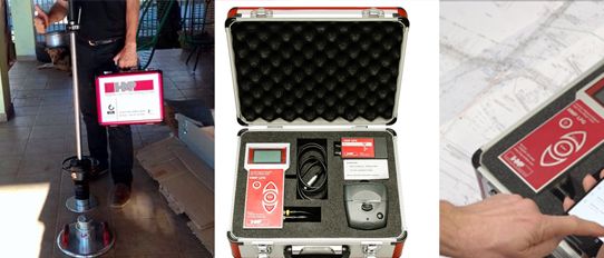
To determine Decadal Terminus Position changes and Ice Thickness of Menthosa Glacier in Lahaul Region, Himalaya...
Read More >>

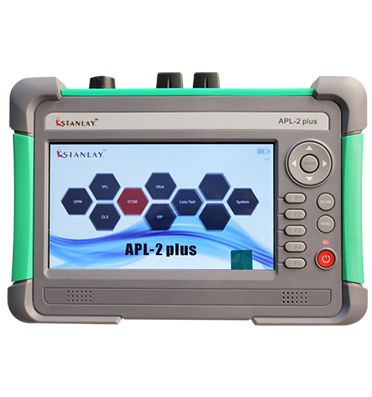
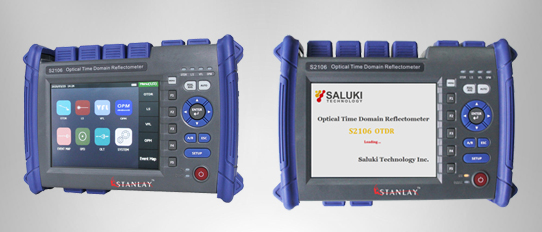
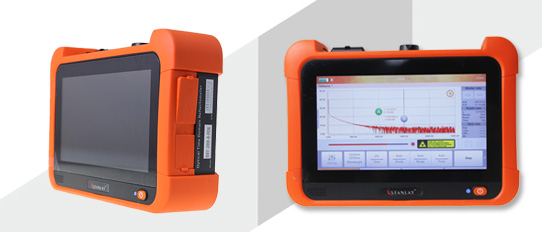
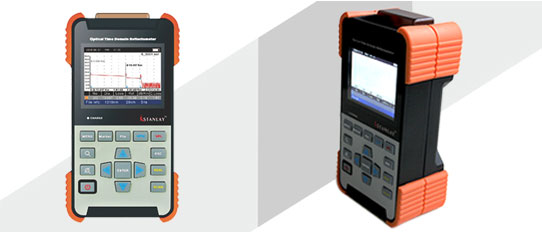
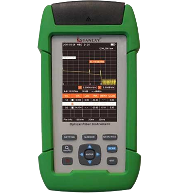
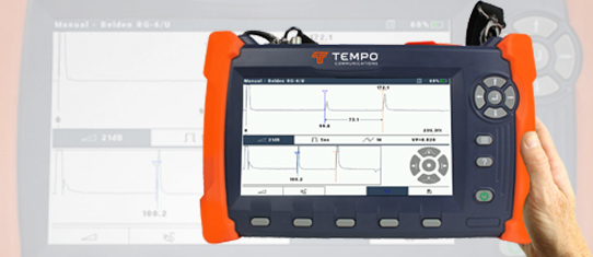
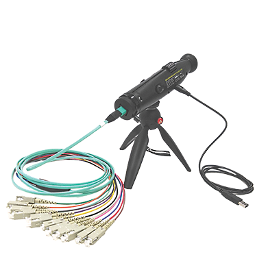
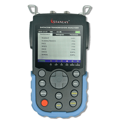
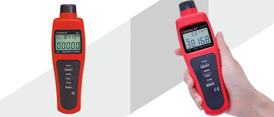
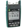
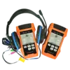
 OTDR
OTDR
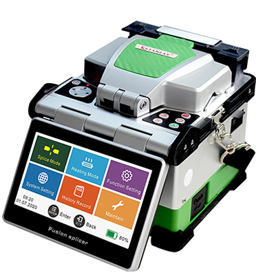
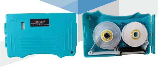
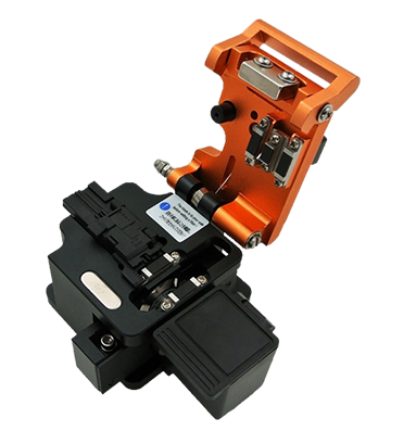
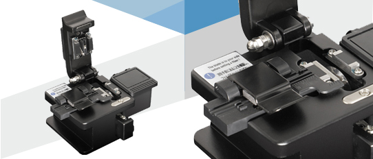
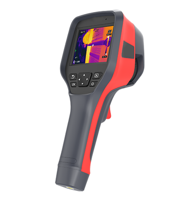
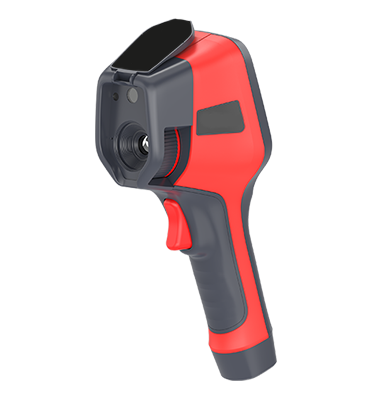
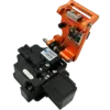
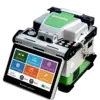 Fiber Optic Splicing Machine
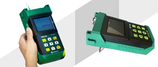
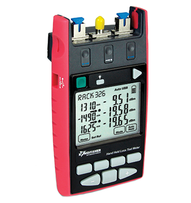
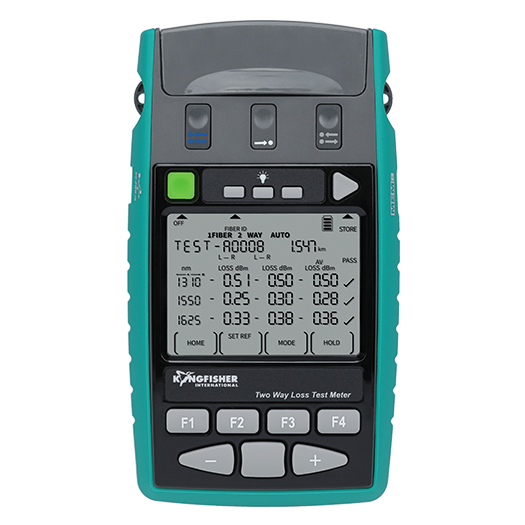
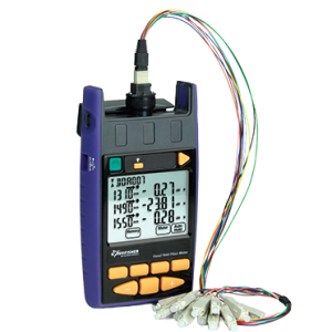
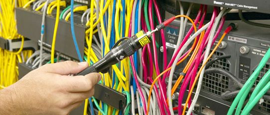
 Optical Loss Test
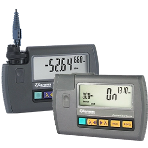
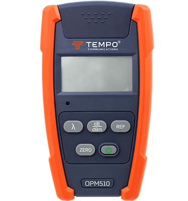
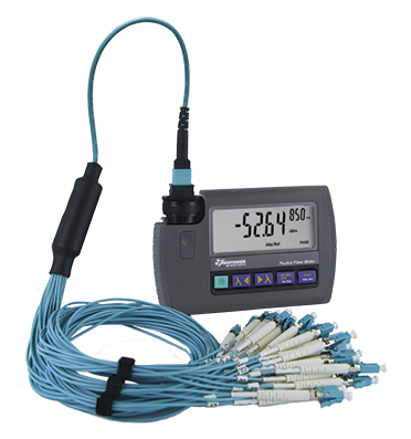
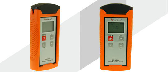
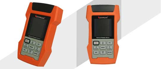
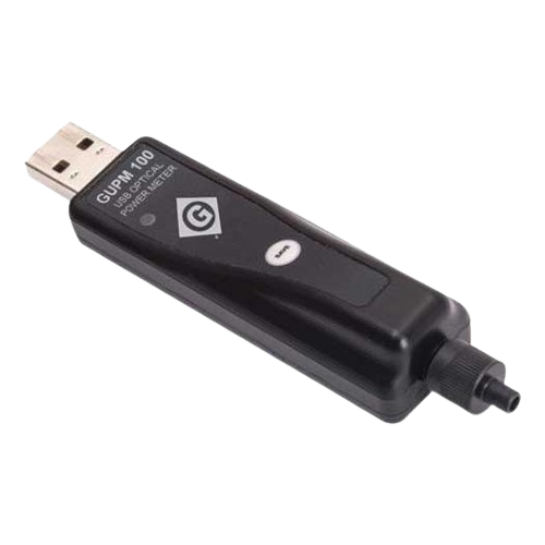
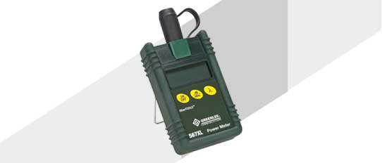
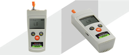
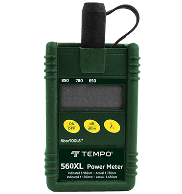
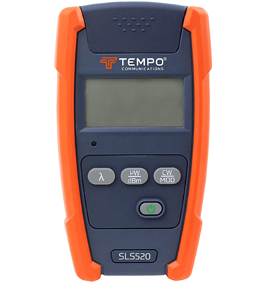
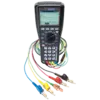
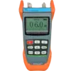
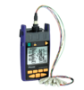 Optical Power Meters
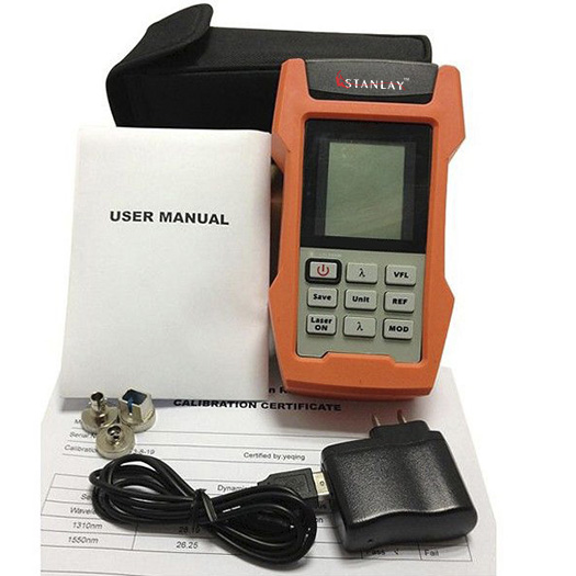
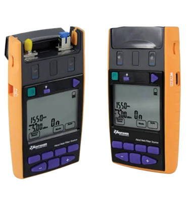
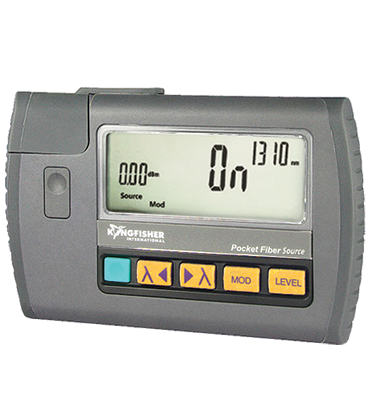
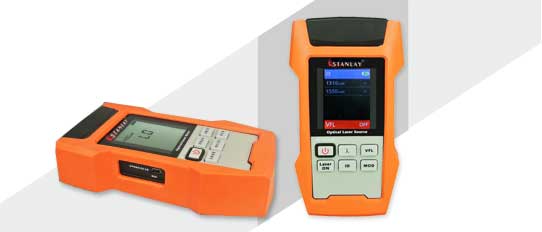
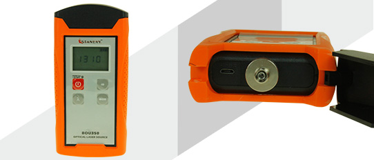
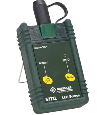
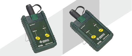
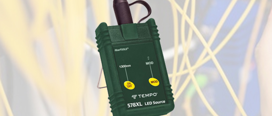
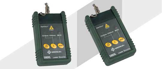
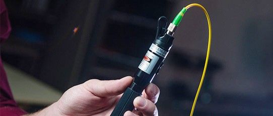
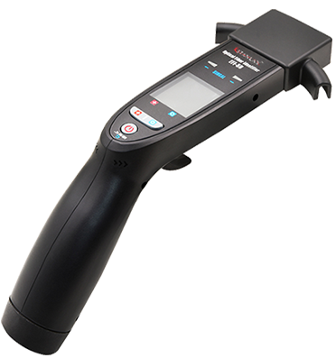
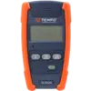 Optical Light Source
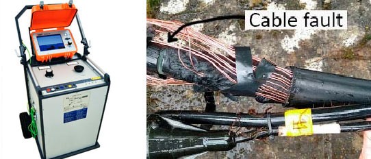
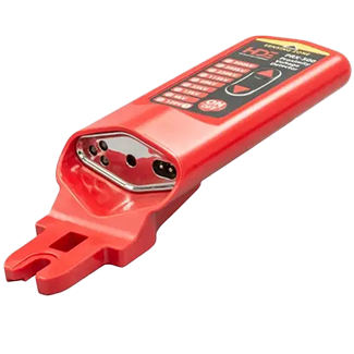
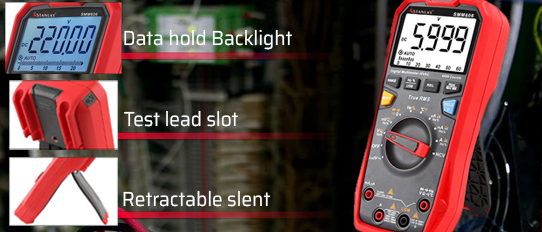
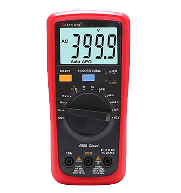
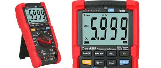
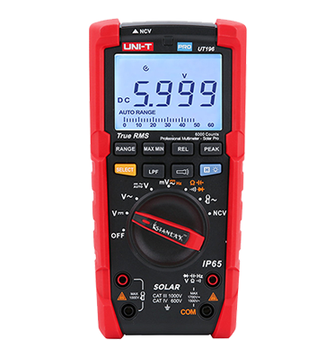
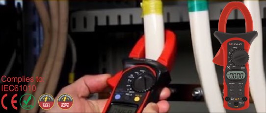
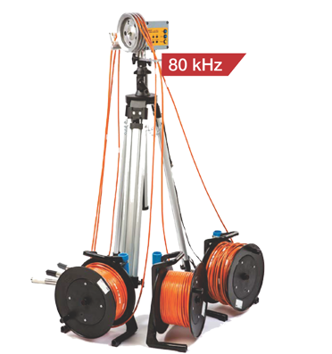
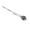
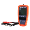
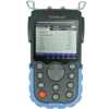
 TDR Cable Fault Locator
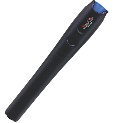
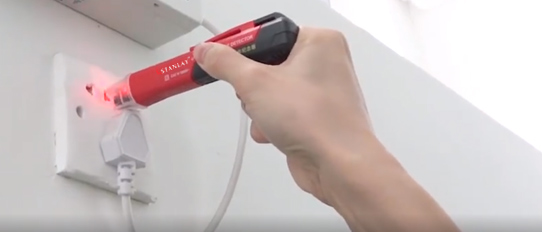
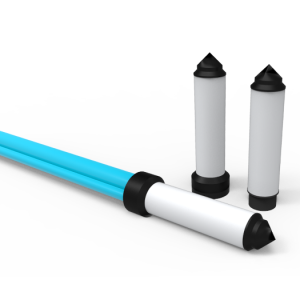
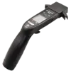
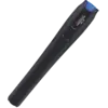 Fiber Optic Visual Fault Locators
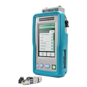
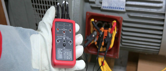
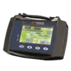 Network Analyzer
 Lan Testers
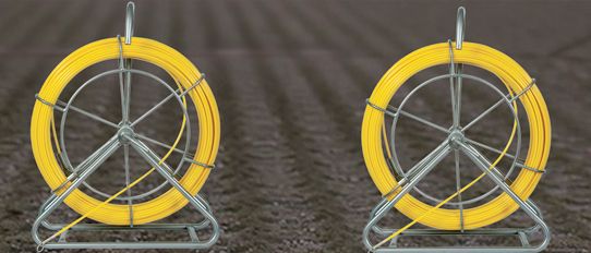
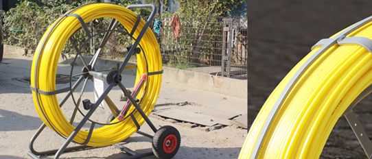
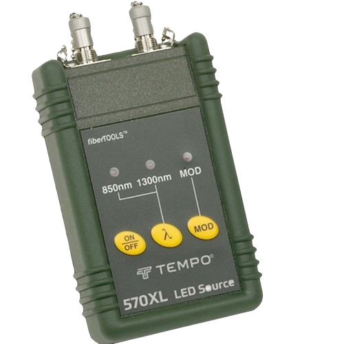
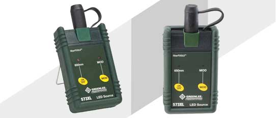
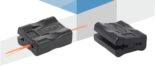
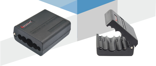
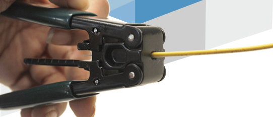
 Fiber Tools
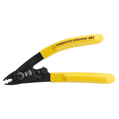
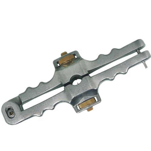
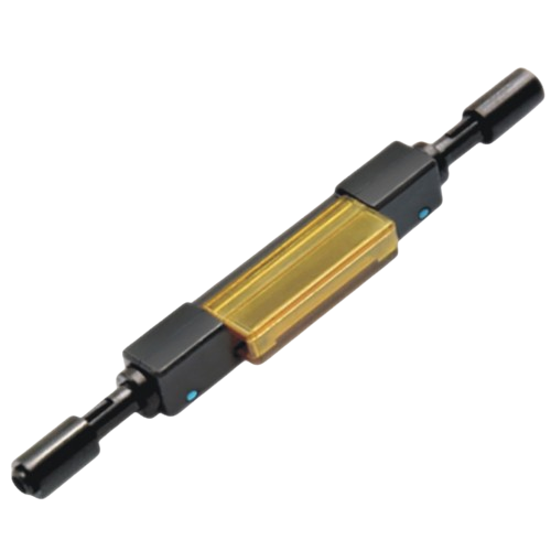
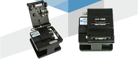
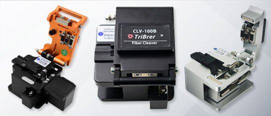
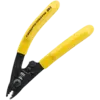
 Fiber Cleavers
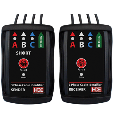
 Optical Fiber Identifier
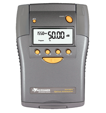
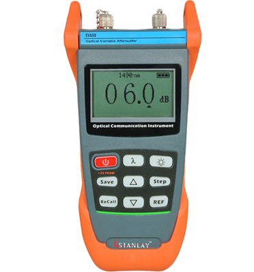
 Fiber Optical Attenuator
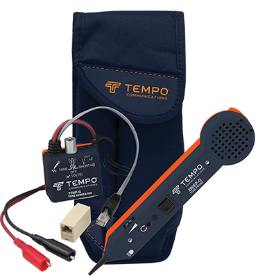
 Tone & Probe Kit
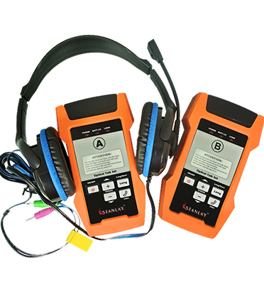
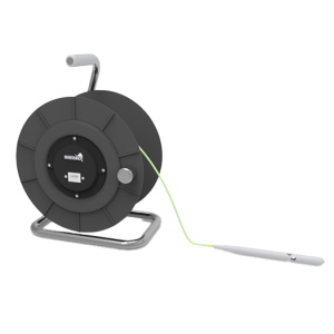
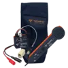
 Fiber Optical Talk Set
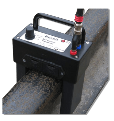
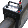 Rocoil Rail Current Transducer
 Bit Error Rate Tester


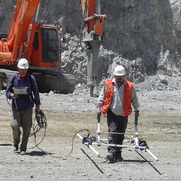
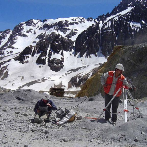
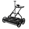
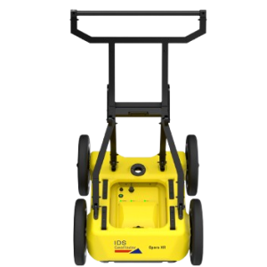
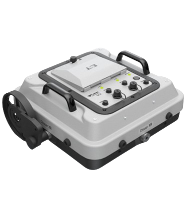
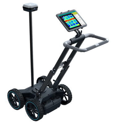
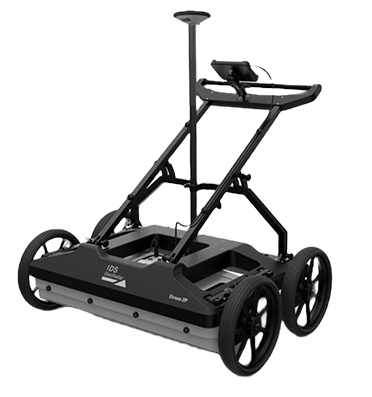
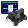
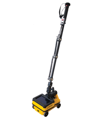
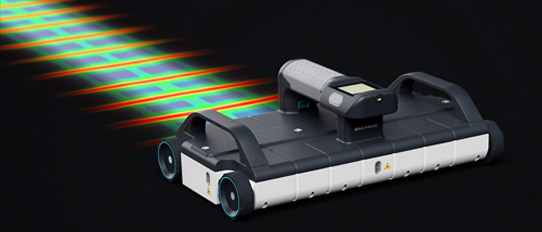
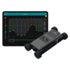
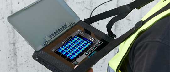
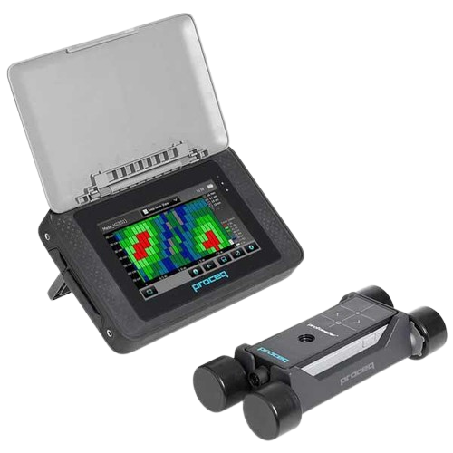
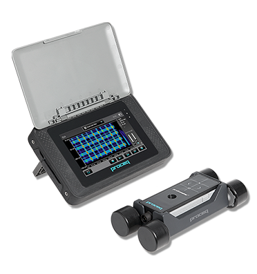
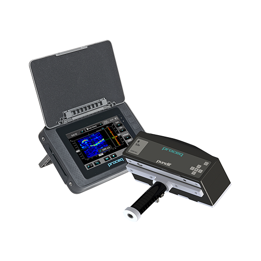
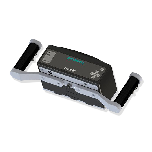
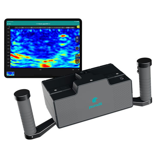
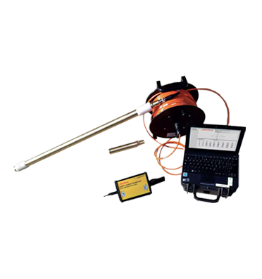
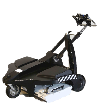
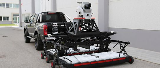
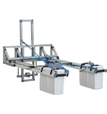
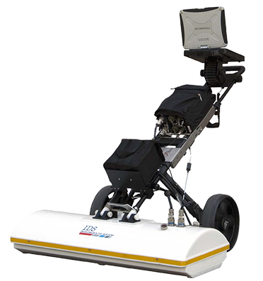
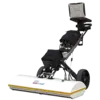
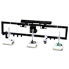
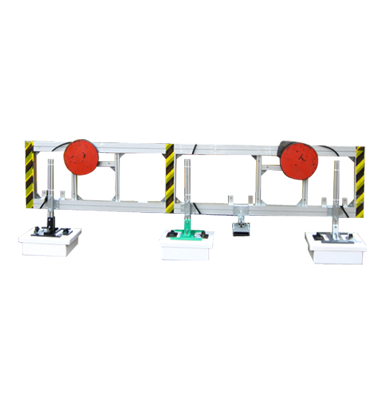
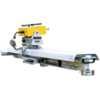
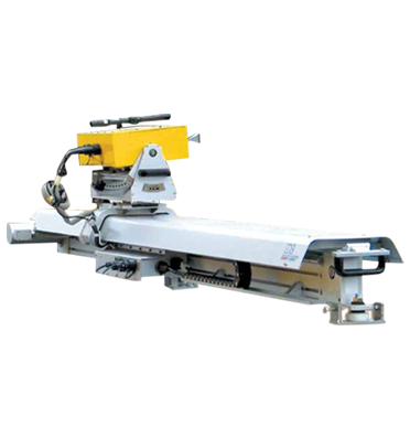
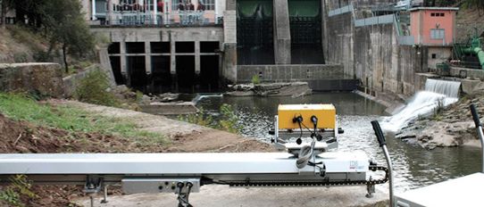
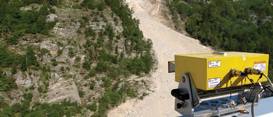
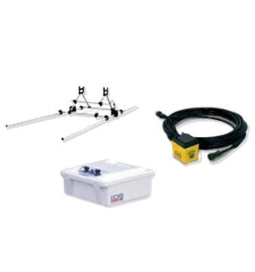
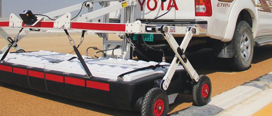
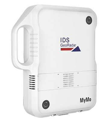
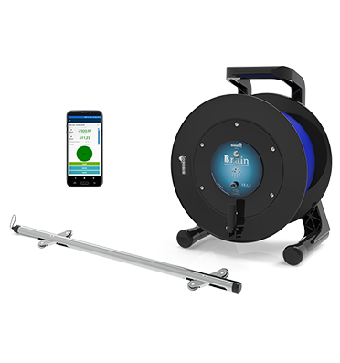
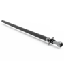
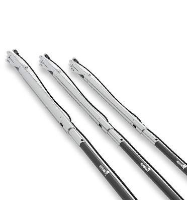
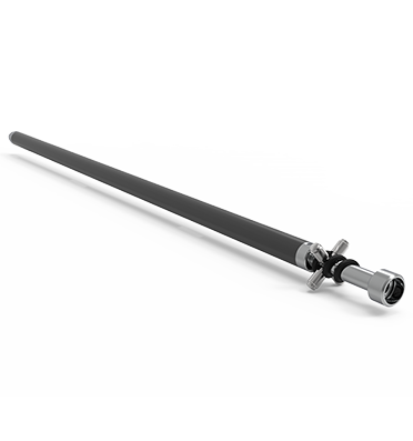
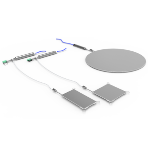
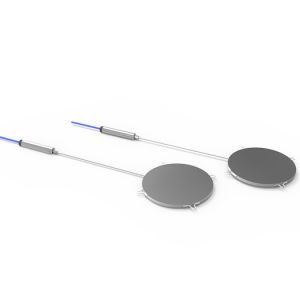
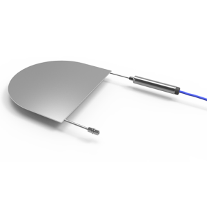
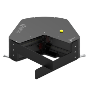
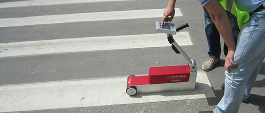
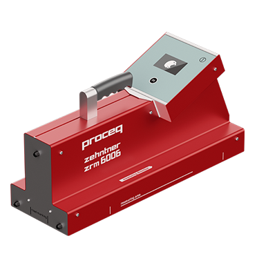
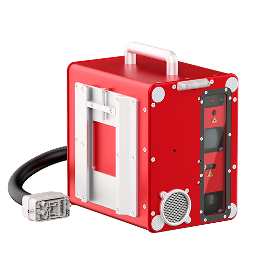
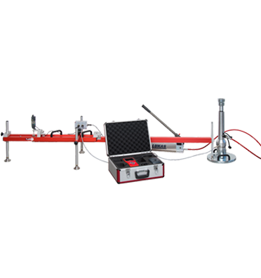
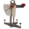
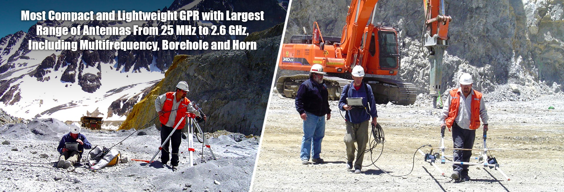
RIS ONE and RIS PLUS is the most compact and lightweight GPR available on the market. The single or multi-channel radar control unit allows increased acquisition speed through a high stacking factor as well as improved penetration depth. The system is supported by antennas operating in 25 MHz to 2.6 GHz frequency range. IDS control unit is able to power up multiple antennas connected in chain enabling custom solutions.
RIS ONE and RIS PLUS is the ideal solution for:
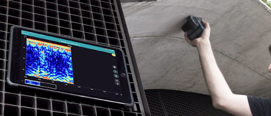
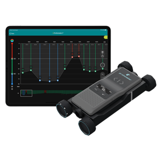
K2 FASTWAVE Software is the acquisition software designed to work with the control unit (single or multi-channel) and is included in the package. The system can be connected to GPS and is able to record the path in real time and mark anomalies: the data is stored in a dedicated folder and is easy to access in the future post processing phase. GRED 3D is an advanced post processing software for 3D and tomographic rendering of the acquired data.
| Recommended Laptop | Panasonic CF-19 Tough-Book |
| Max. Acquisition Speed | Depends on the number of antennas and scan rate |
| Power Consumption | Depends on the configuration from 10 W to 40 W |
| Positioning | Survey wheel and/or GPS or total station |
| Number Of Control Unit | From 1 to 4 |
| Collection Speed | Depends on the number of antennas |
| Scan Interval | Depends on the number of antennas |
| Power Supply | SLA Battery 12VDC 12 AH |
| Environmental | IP65 |
| Antenna Footprint | Depends on the antenna |
| Number Of Hardware Channels | 8 or 32 with a cluster of 4 DAD MCH |
| Antenna Center Frequencies | from 25 MHz to 2.6 GHz |
| Certification | Depends on the antenna |
To determine Decadal Terminus Position changes and Ice Thickness of Menthosa Glacier in Lahaul Region, Himalaya...
Read More >>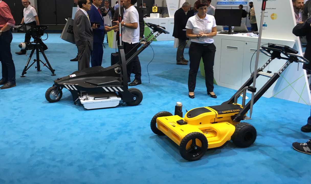
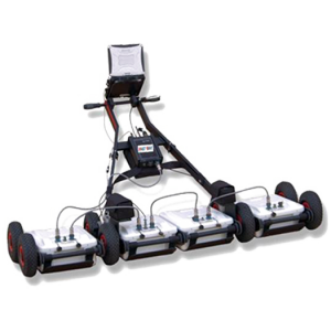
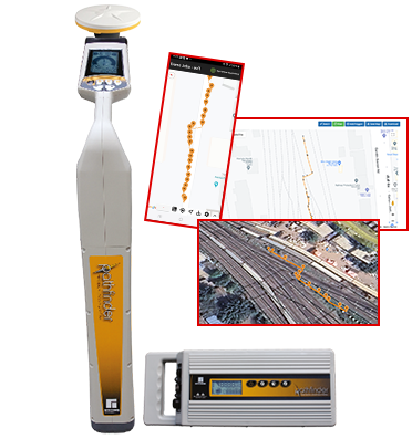
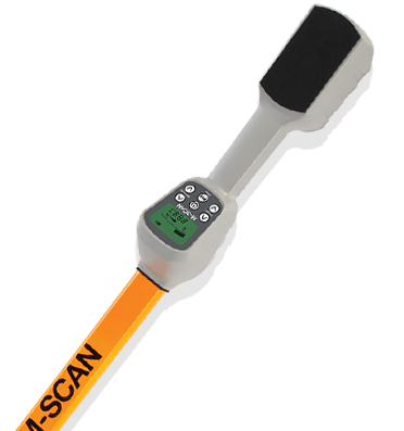
As built maps of utilities are made in reference to specific points, which become null and...
Read More >>
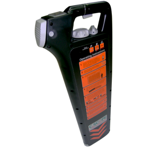
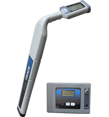
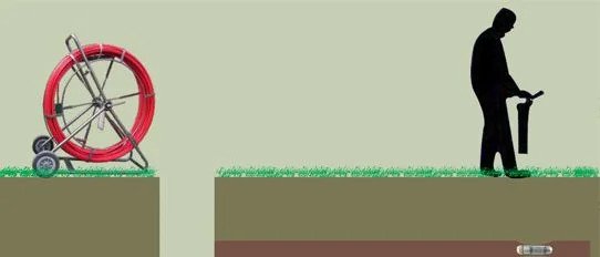
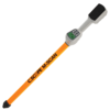
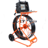
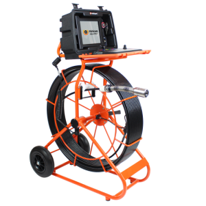
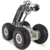
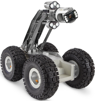
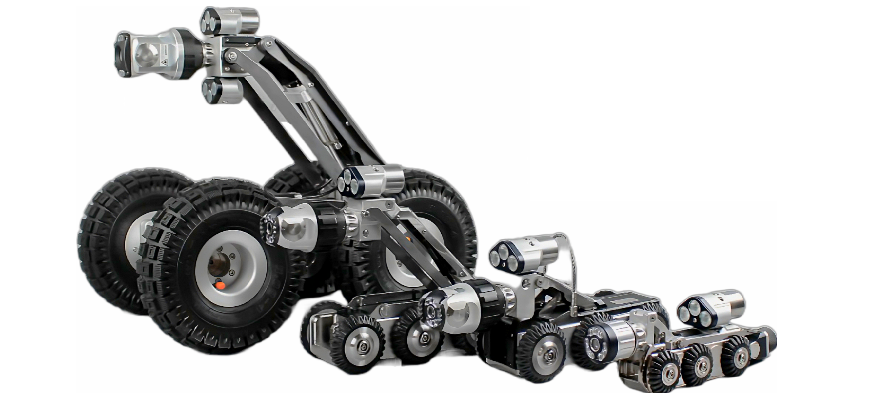
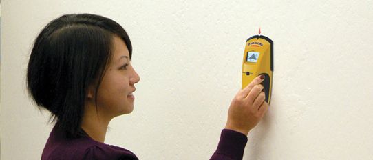
The task of Locating underground utilities can be bifurcated into two deliverables: 1. Detection of underground...
Read More >>Type your question in the Search box , fill in your name, and email ID and press send.
We will respond with the answer. Rest assured that we respect your privacy, and your details will remain confidential.