


.png)
.jpg)


.png)


.png)
.png)


.png)


.png)


.jpg)
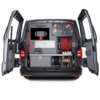
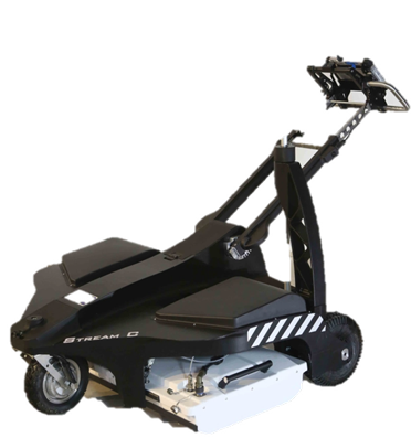
STREAM C


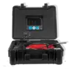
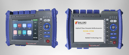
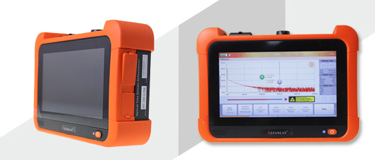
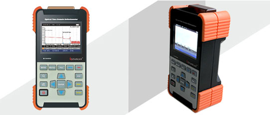
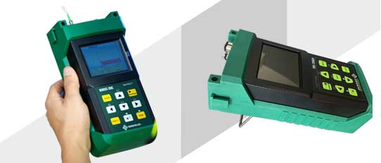
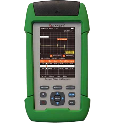
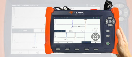
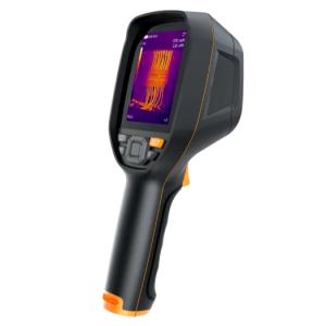
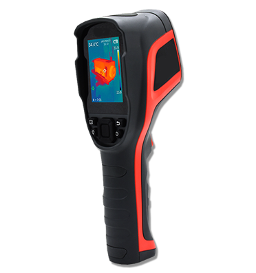
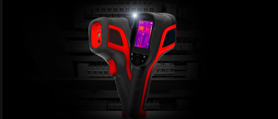
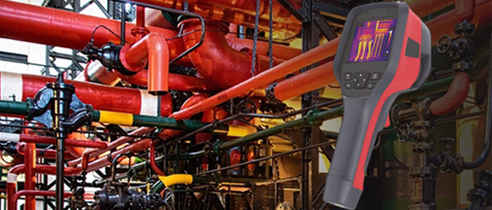
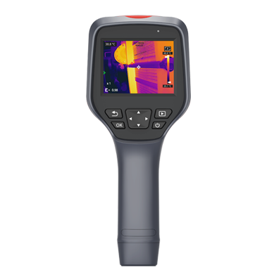
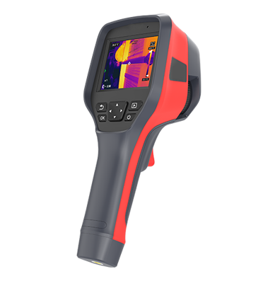
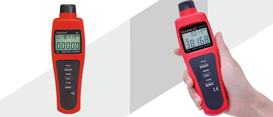
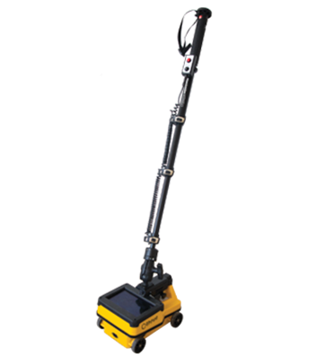
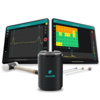
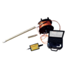
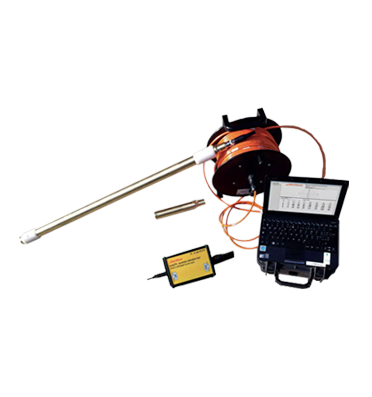
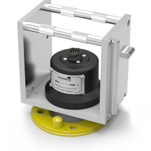
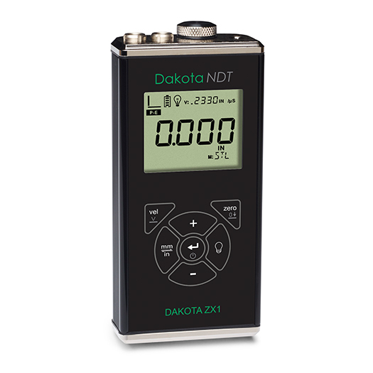
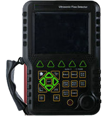
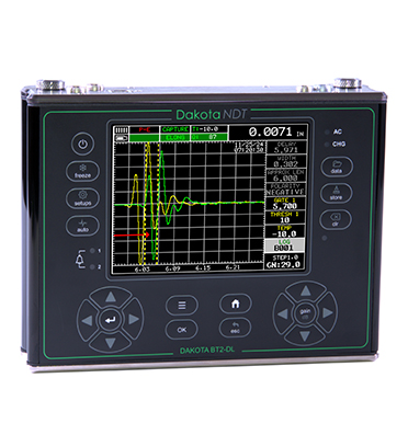
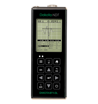
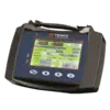
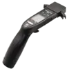
 OTDR
OTDR
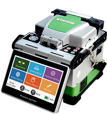
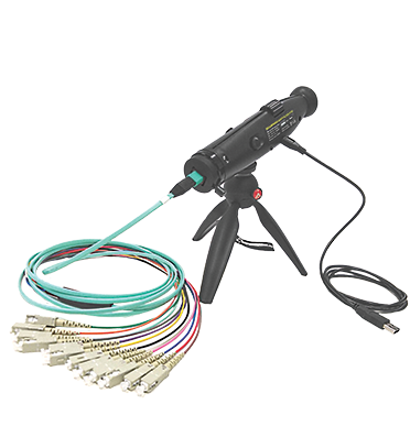
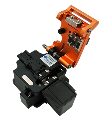
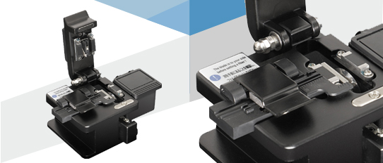
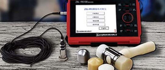
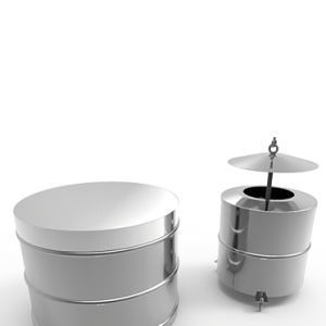
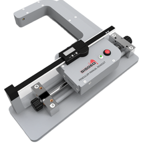
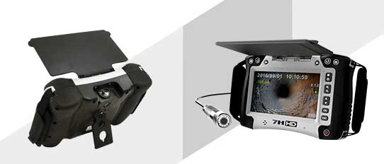
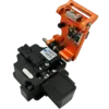
 Fiber Optic Splicing Machine
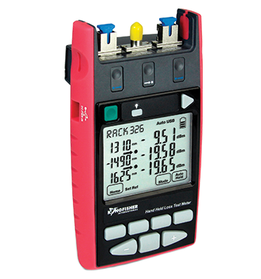
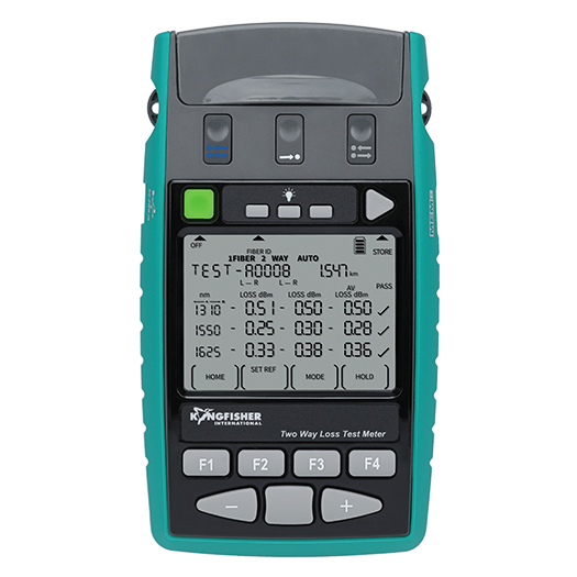
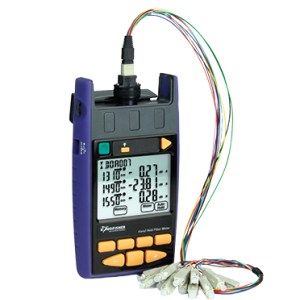
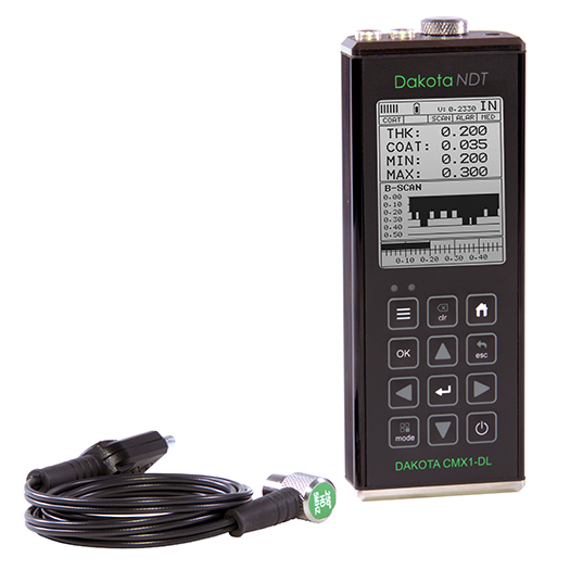
 Optical Loss Test
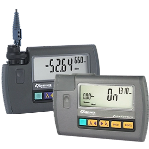
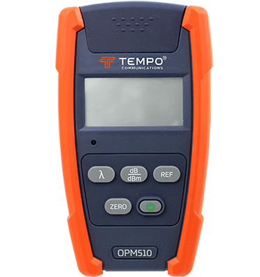
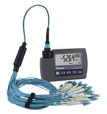
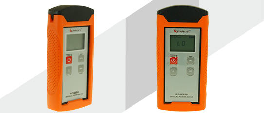
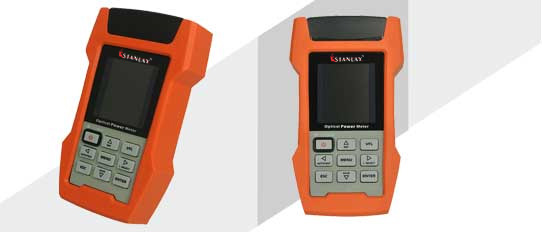
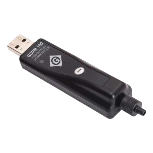
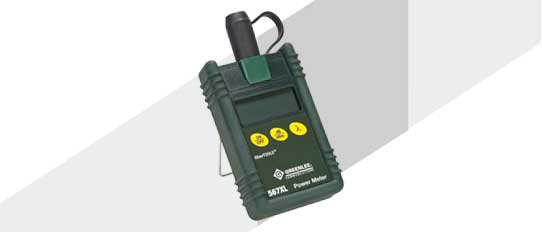
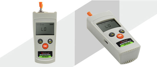
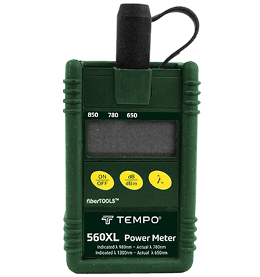
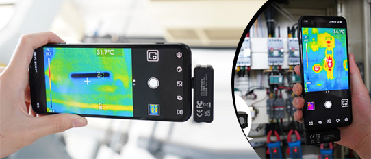
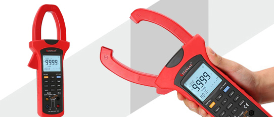
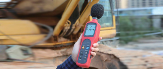
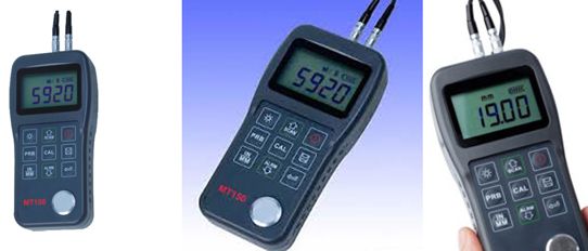
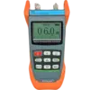
 Optical Power Meters
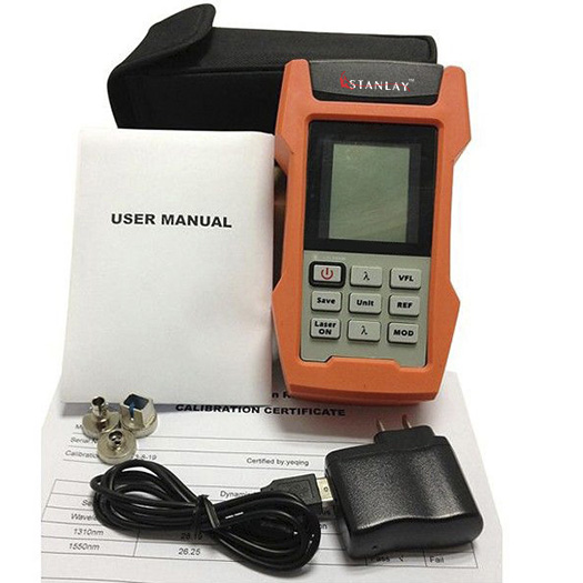
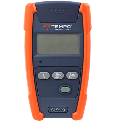
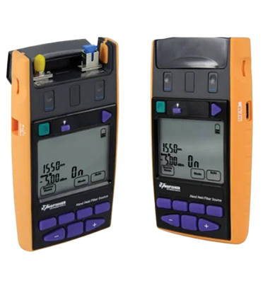
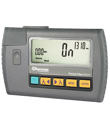
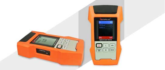
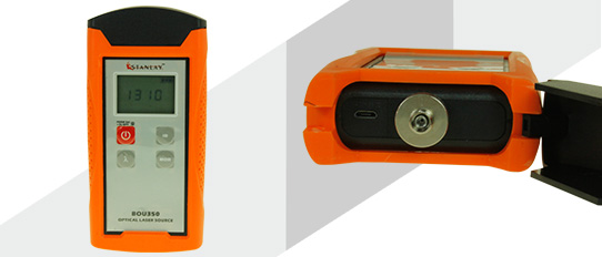
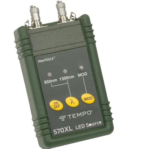
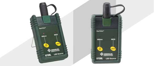
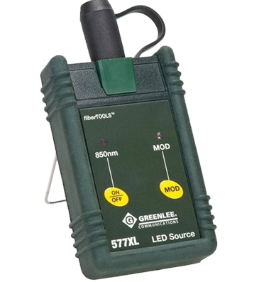
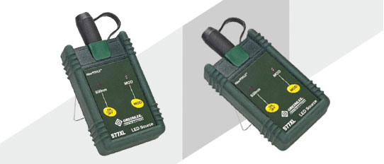
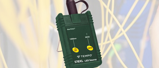
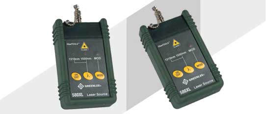
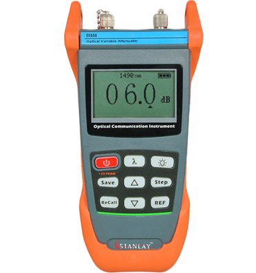
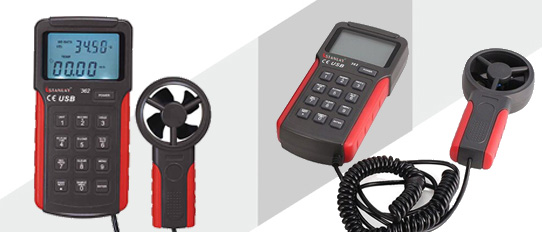
 Optical Light Source
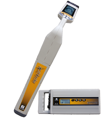
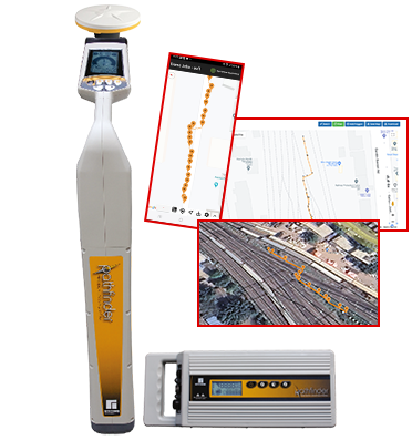
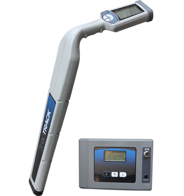
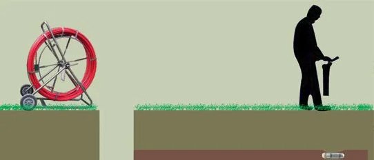
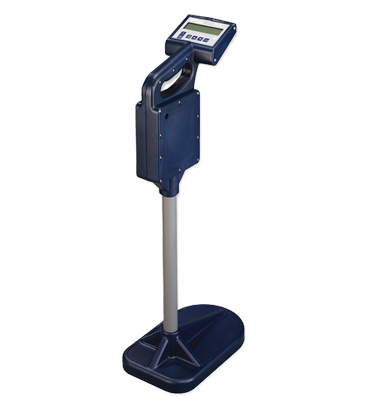
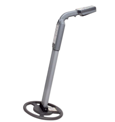
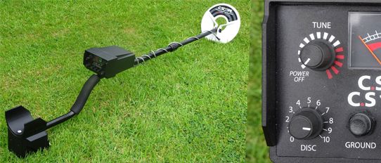
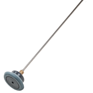
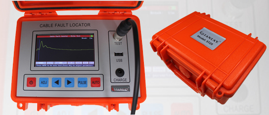
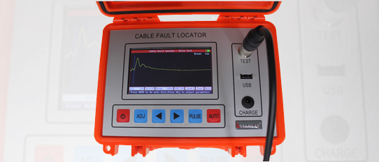
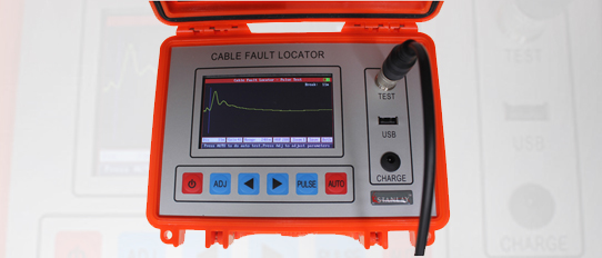
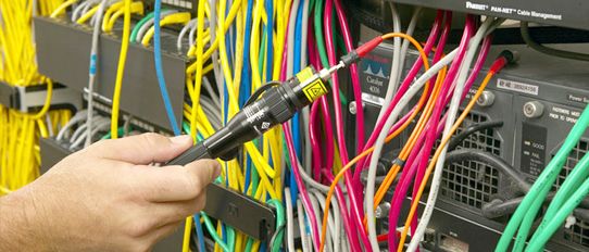
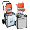
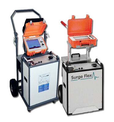
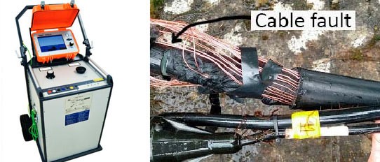
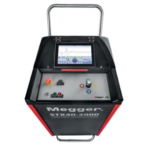
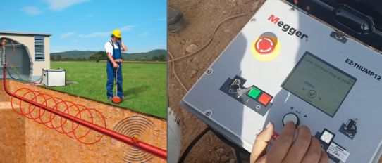
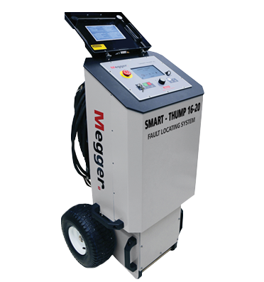
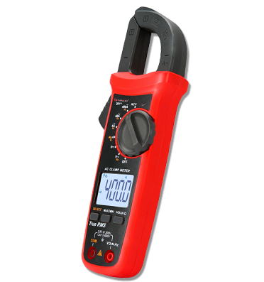
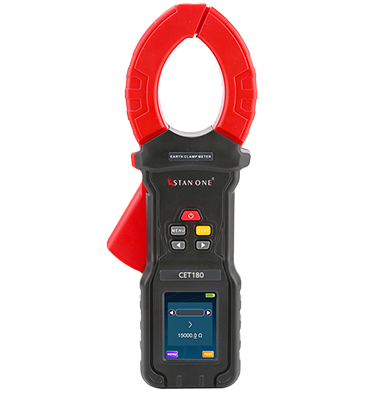
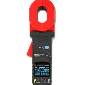
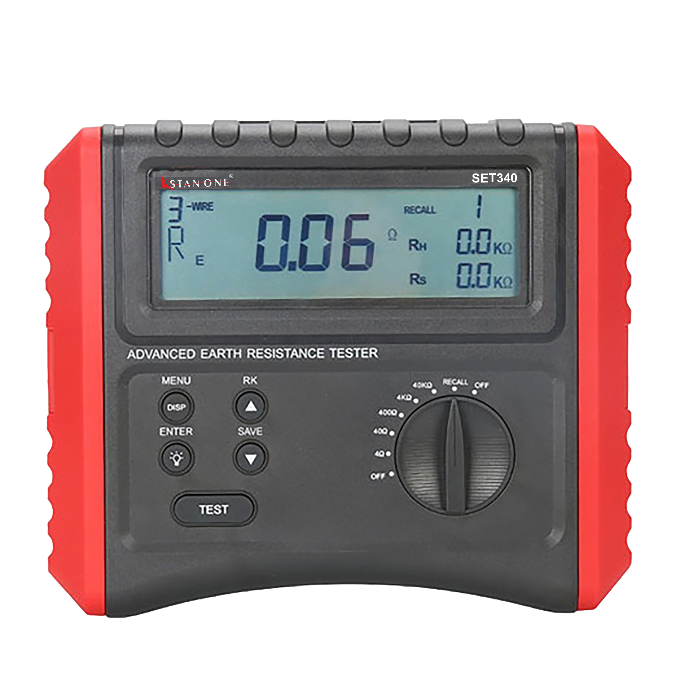
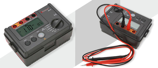
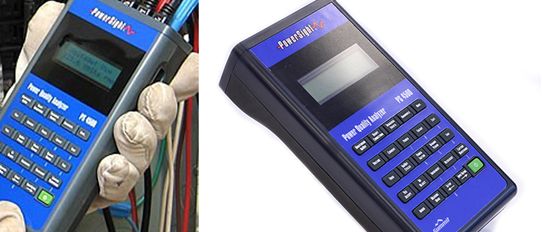
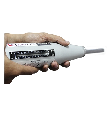
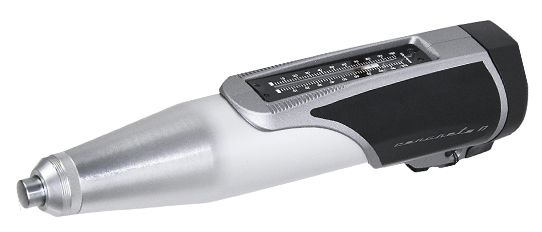
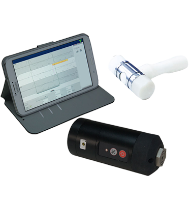
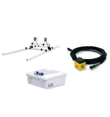
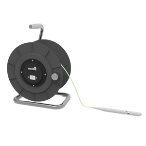
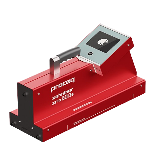
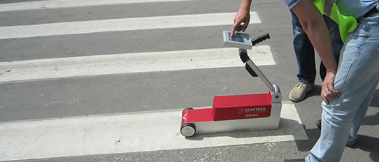
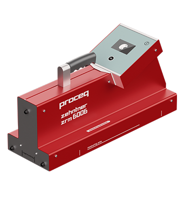
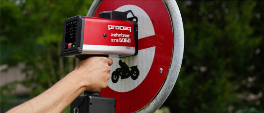
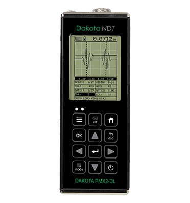
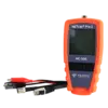
 TDR Cable Fault Locator
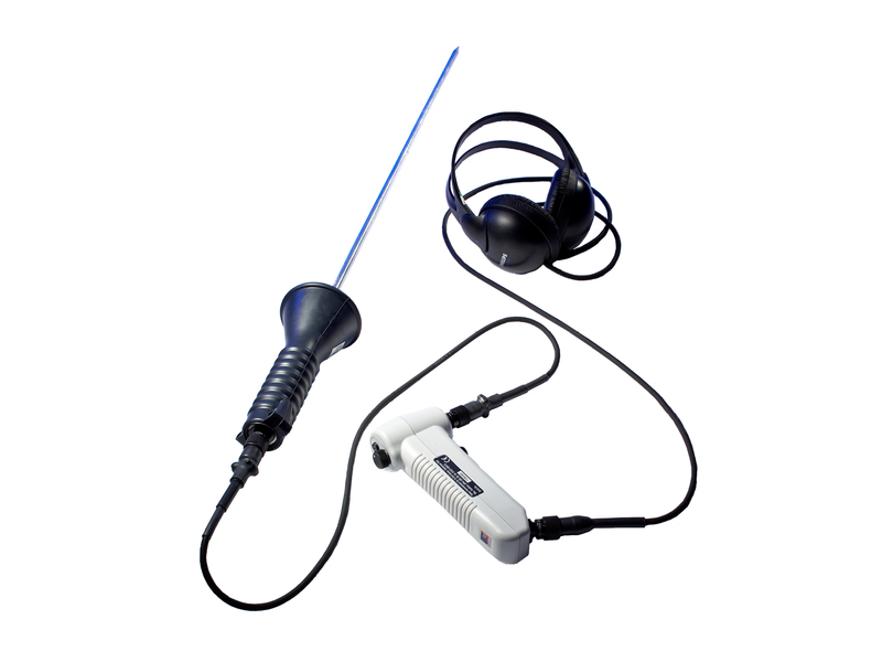
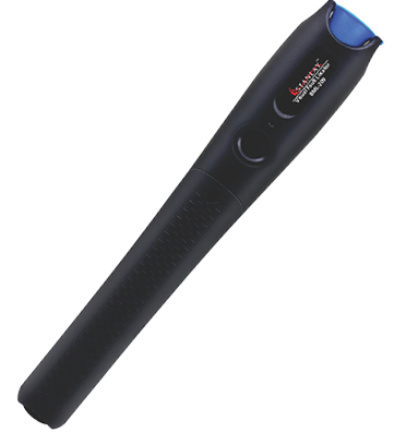
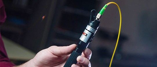
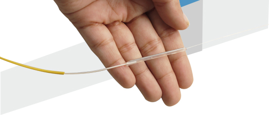
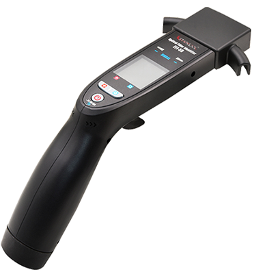
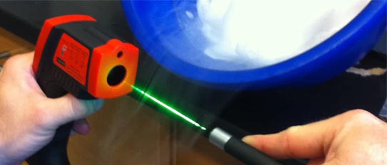
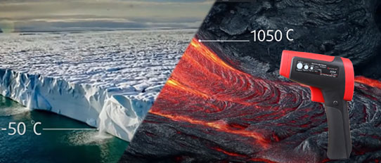
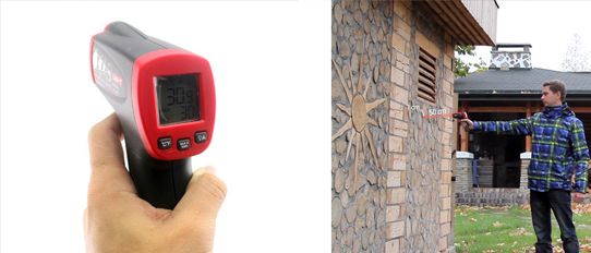
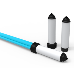
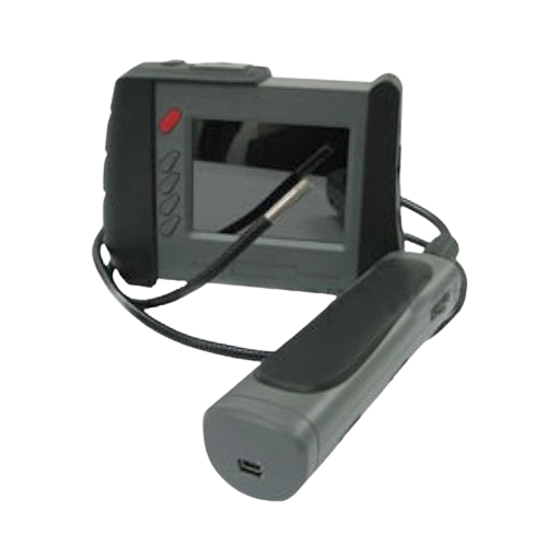
 Fiber Optic Visual Fault Locators
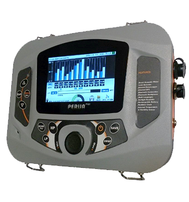
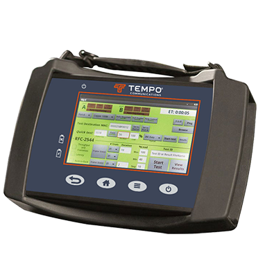
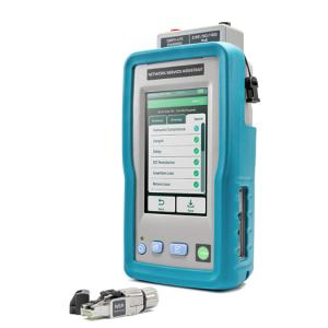
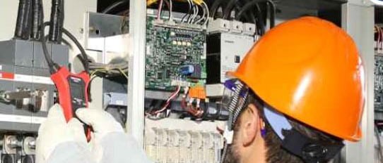
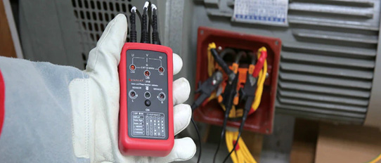
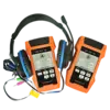
 Network Analyzer
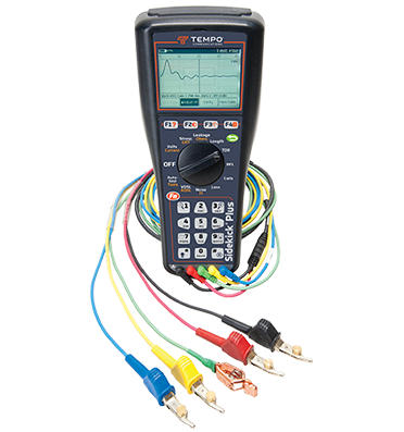
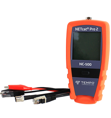
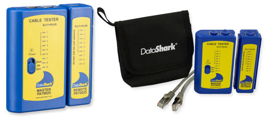
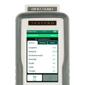
 Lan Testers
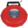
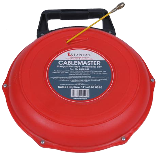
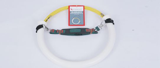
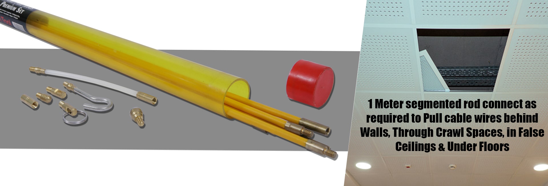
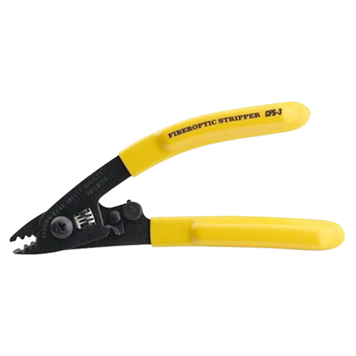
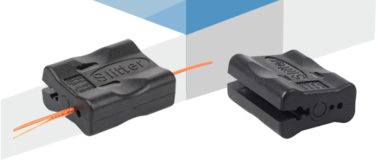
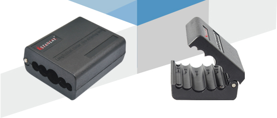
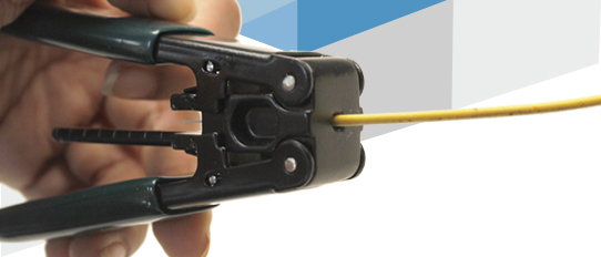
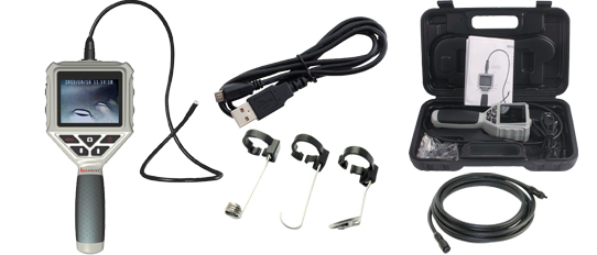
 Fiber Tools
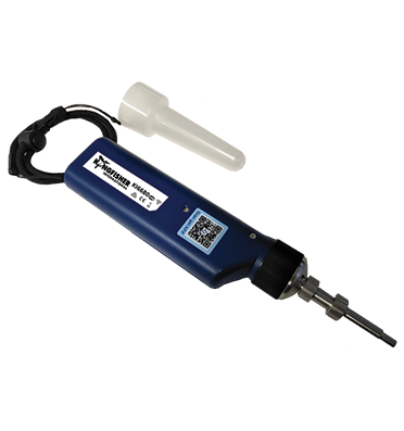
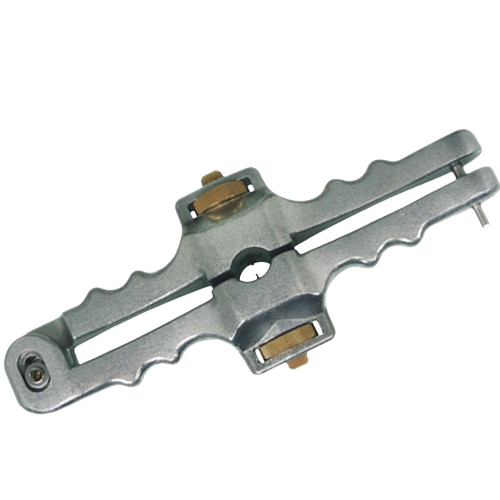
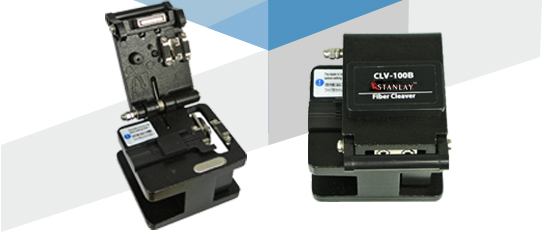
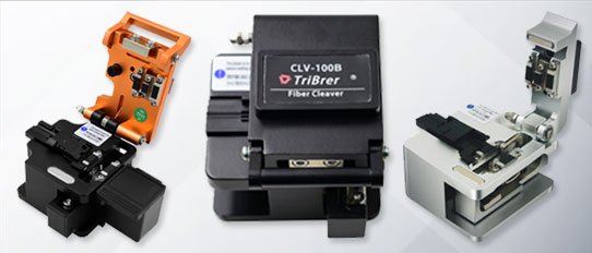
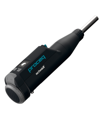
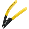
 Fiber Cleavers
 Optical Fiber Identifier
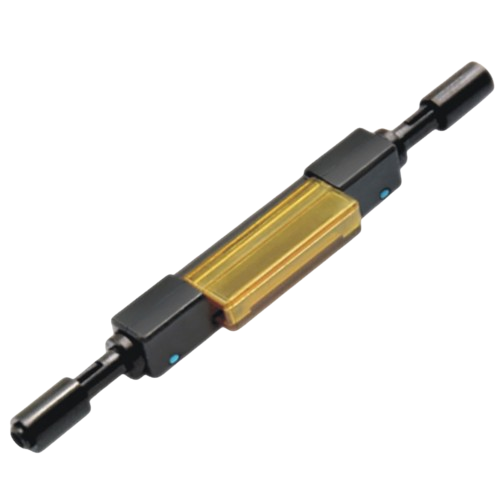
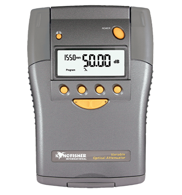
 Fiber Optical Attenuator
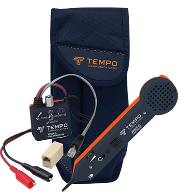
 Tone & Probe Kit
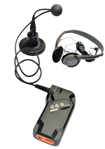
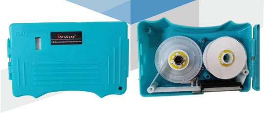
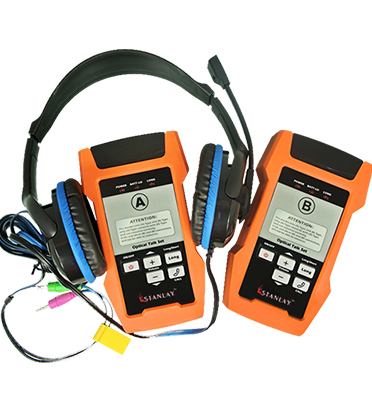
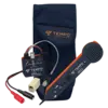
 Fiber Optical Talk Set
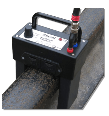
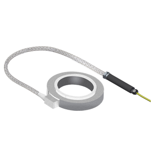
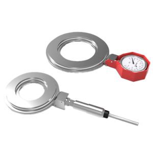
 Rocoil Rail Current Transducer
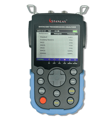
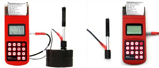
 Bit Error Rate Tester
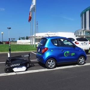


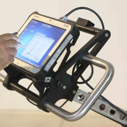
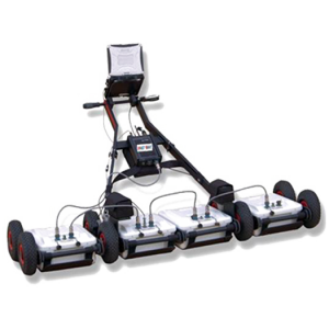
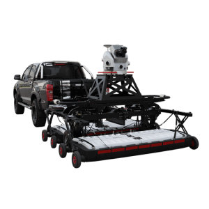
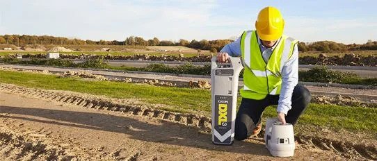
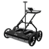
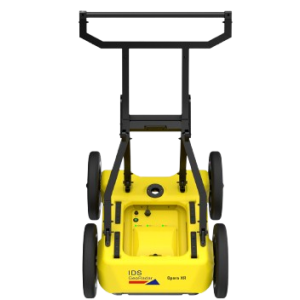
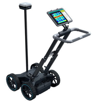
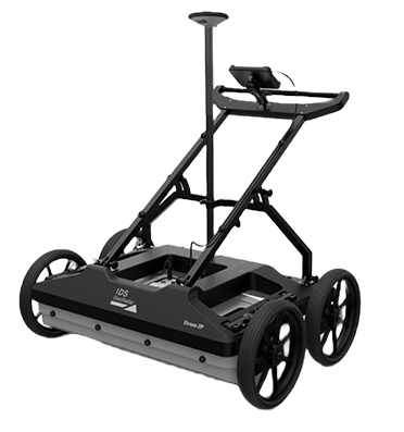
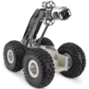
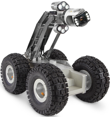
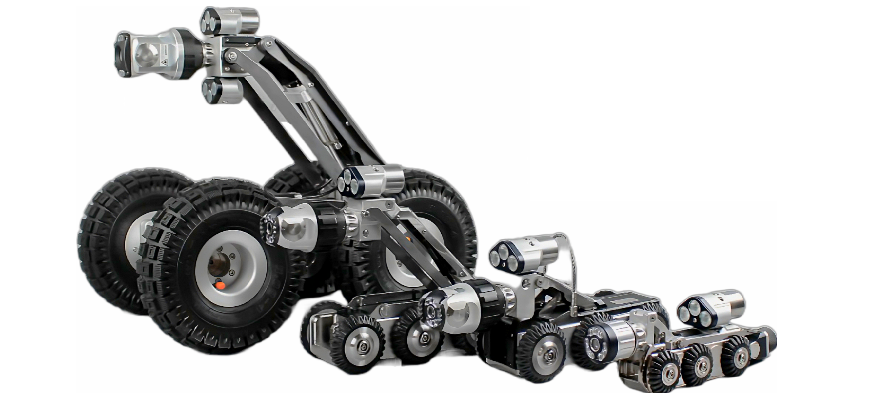
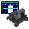
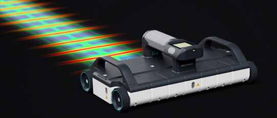
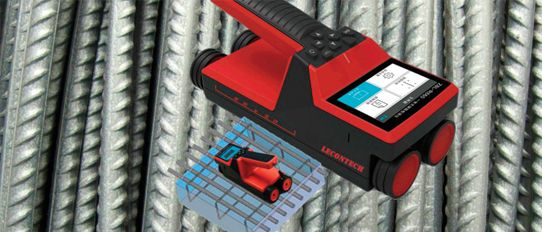
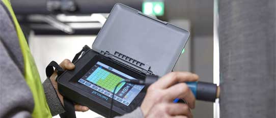
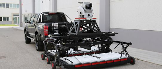
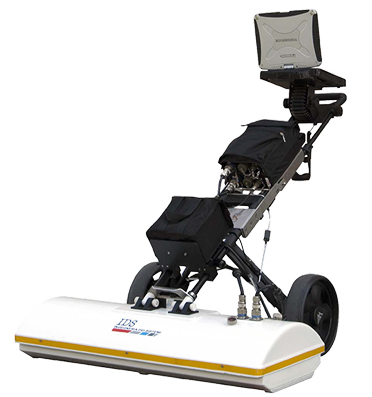
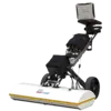
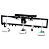
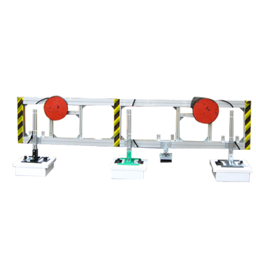
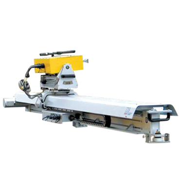
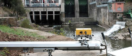
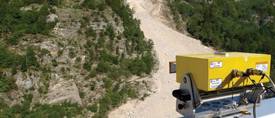
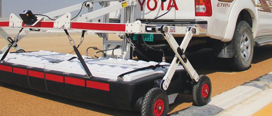
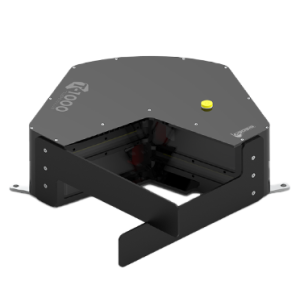
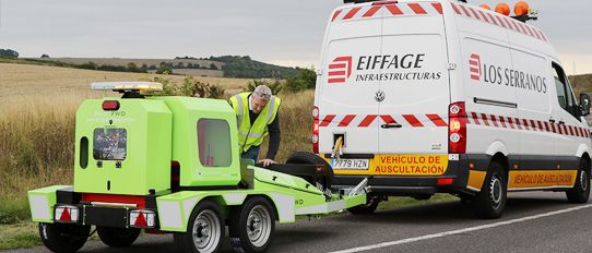
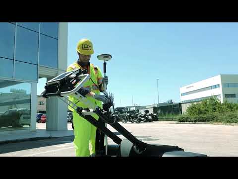
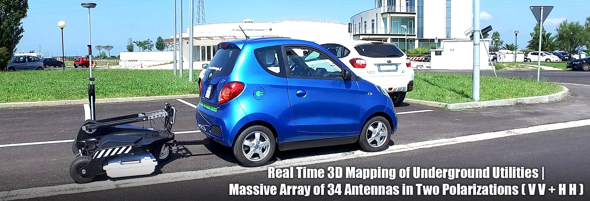
STREAM C is the compact solution for real time 3D mapping of underground utilities. Increased level of accuracy provided by a massive antenna array, STREAM C is able to automatically detect pipes and cables, offering high productivity and easy use (no advanced training needed) for operator.
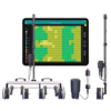
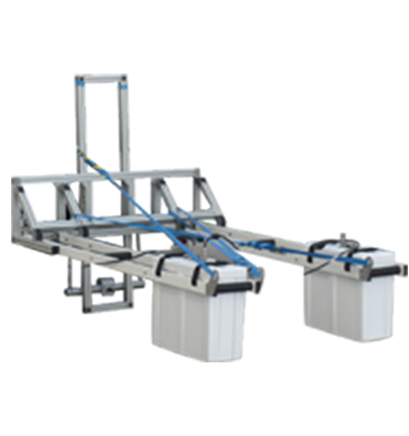
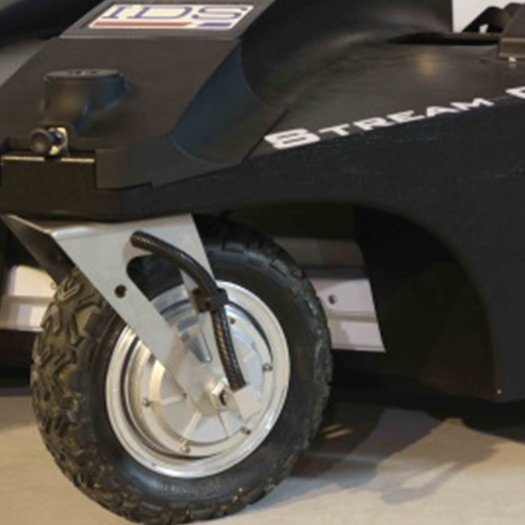
Daily use of STREAM C is aided by ergonomic features including electronic ride height adjustment, options to tow manually or with a small vehicle and a motor assisted drive wheel.
STREAM C allows the best accuracy and daily productivity by adding innovative technology based on "massive array" of antennas and the IDS GeoRadar experience with unique features, such as:
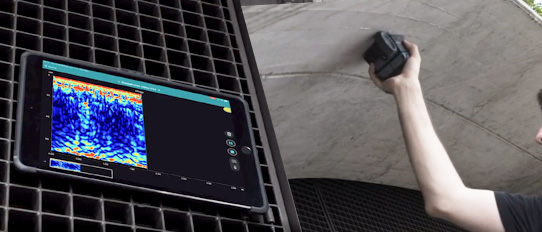
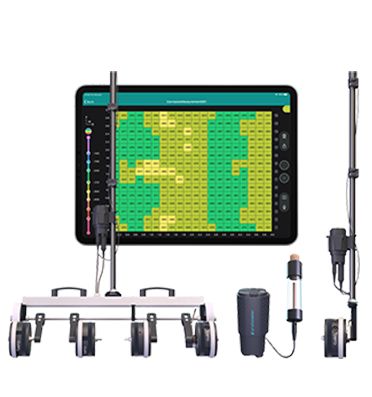
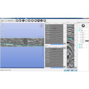
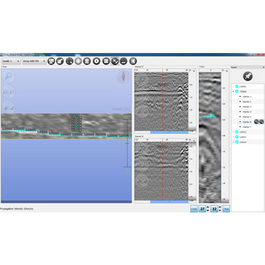
One Vision – APD: IDS GeoRadar software for Automatic Pipe Detection. One Vision software comes with an innovative feature, called Automatic Pipe Detection - APD, specifically developed for Stream C and able to detect and locate the position of pipes and cables in real time and display them on screen.
One Vision: real time acquisition software with APD (Automatic Pipe Detection)
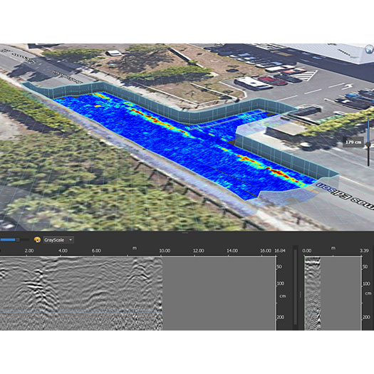
GRED HD 3D CAD: IDS GeoRadar software for post-processing. Stream C is supplied with GRED HD 3D CAD software, specifically designed to offer an integrated working framework between the radar world and CAD/GIS environment, combining the characteristics of industrial productivity with high levels of reliability of results. It also offers unique features: analysis of all anomalies in the subsurface, display of 2D and 3D tomography and automatic transfer of localized structures and objects, also with irregular shapes, to CAD maps. GRED HD 3D CAD is currently the most advanced and complete tool for post processing Ground Penetrating Radar data.
Pipes and target detected by APD and verified by the operator.
STREAM C BENEFITS:
|
Overall Weight (PC not included)
|
Basic Configuration - 75 kg (165 lbs)
Advanced Configuration - 95 kg (209 lbs) |
|
Recommended Laptop
|
Panasonic FZ G1
|
|
Max. Acquisition Speed
|
6 km/h (3.7 mph)
|
|
Radar Power Consumption
|
60 W
|
|
Positioning
|
Integrated encoder and/or GPS/total station
|
|
Radar Power Supply
|
SLA Battery 12VDC 24 Ah
|
|
Environmental
|
IP65
|
|
Antenna Footprint
|
120 x 57 cm
|
|
Number of Channels
|
32 (23VV-9HH)
|
|
Antenna Central Frequency
|
600 MHz
|
|
Antenna Polarization
|
HH and VV
|
|
Scan Width
|
96 cm
|
|
Certification
|
EC, FCC, IC
|
SOFTWARE SPECIFICATIONS:
|
One Vision
Acquisition Software |
|
|
ADP Tool for One Vision Acquisition Software (optional)
|
|
|
GRED HD 3D CAD
Processing Software |
|
Type your question in the Search box , fill in your name, and email ID and press send.
We will respond with the answer. Rest assured that we respect your privacy, and your details will remain confidential.