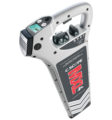


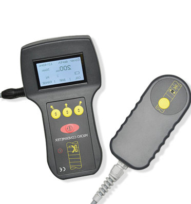
.png)
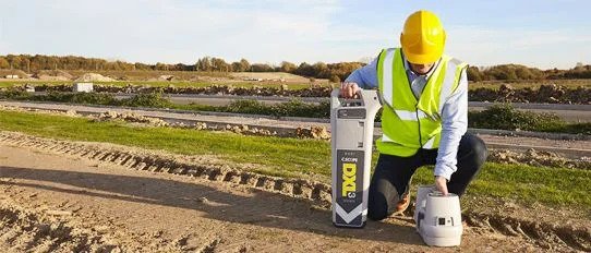
.jpg)


.png)
.png)


.png)


.png)


.jpg)
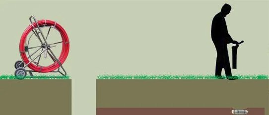
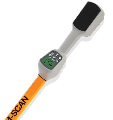
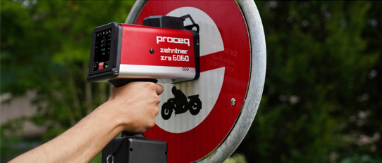
When is a ground penetrating radar beneficial in locating of underground pipes & cable utilities ?
The task of Locating underground utilities can be bifurcated into two deliverables: 1. Detection of underground...
Read More >>

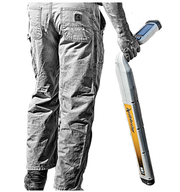
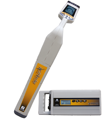
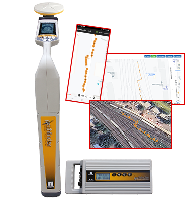
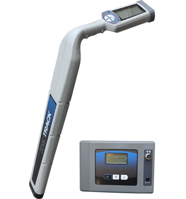
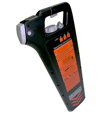
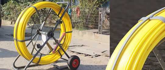
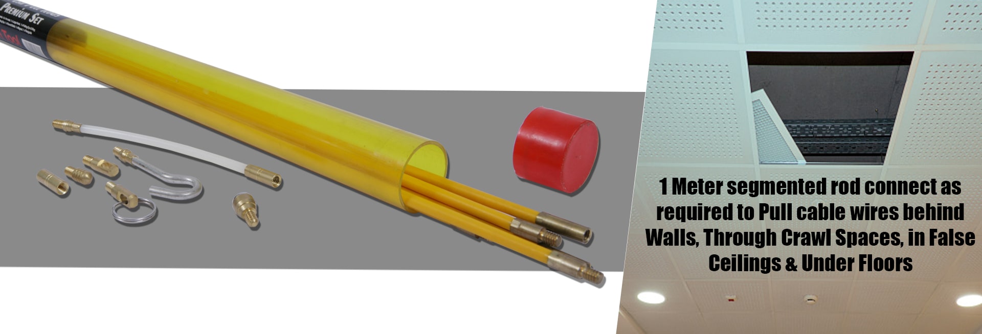
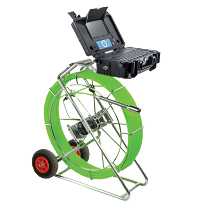
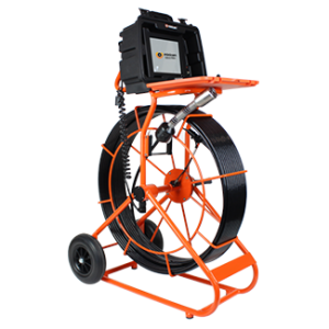
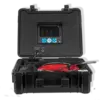
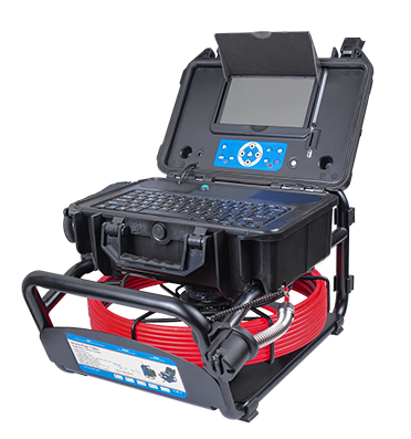
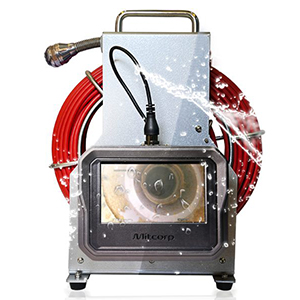
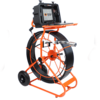
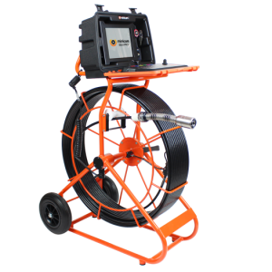
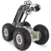
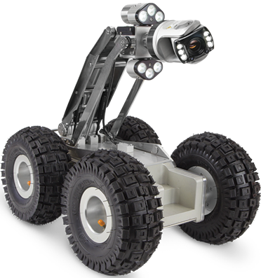
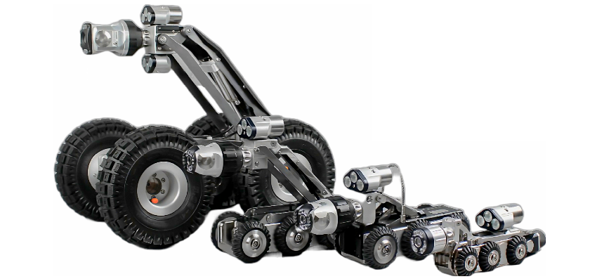
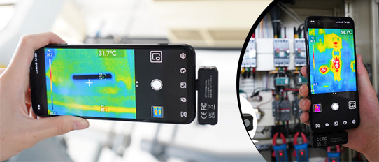
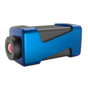
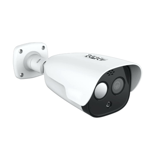
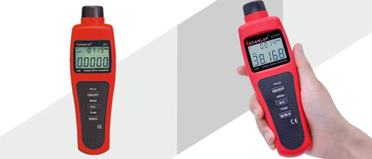
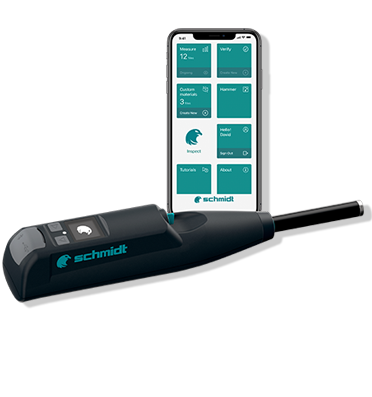
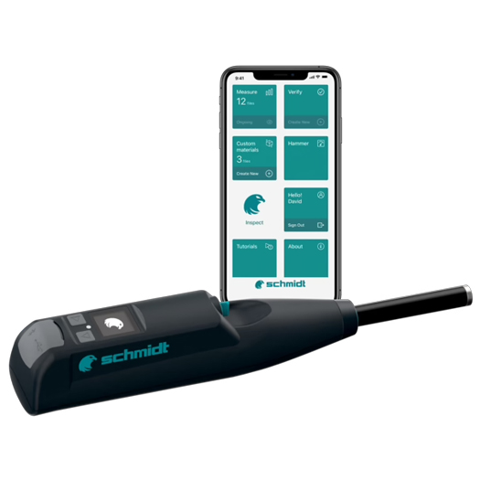
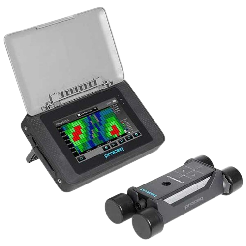
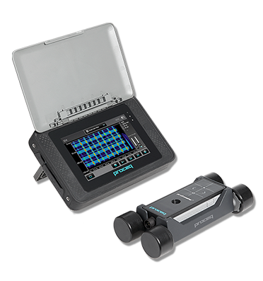
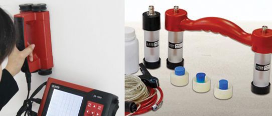
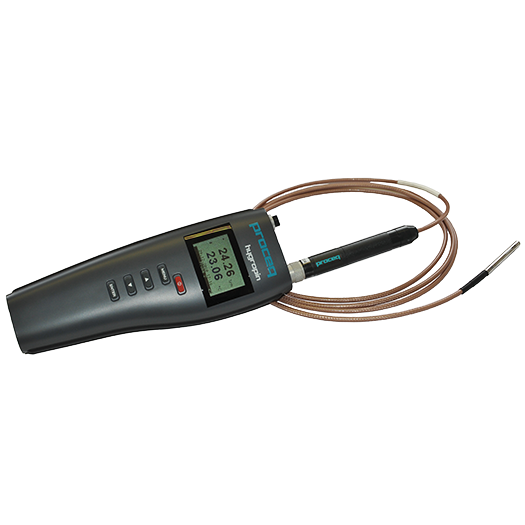
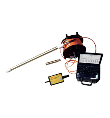
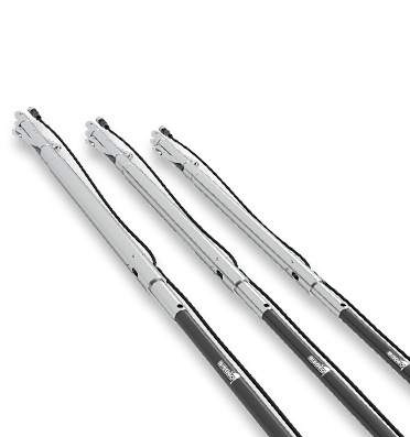
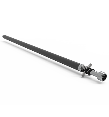
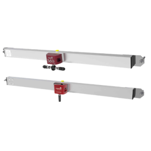
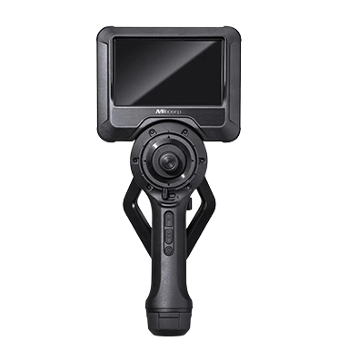
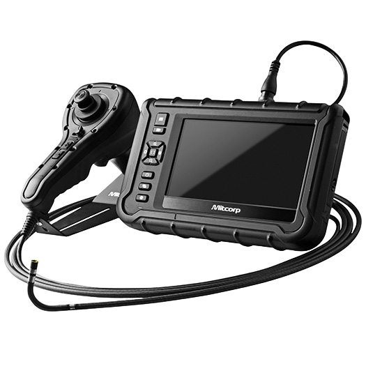
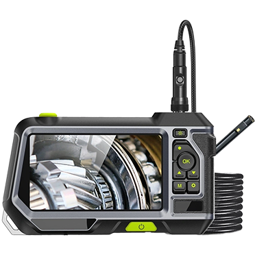
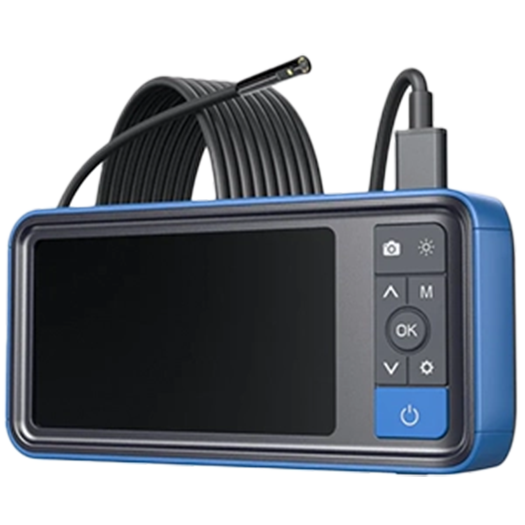
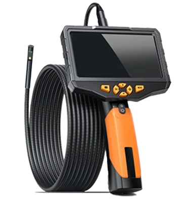
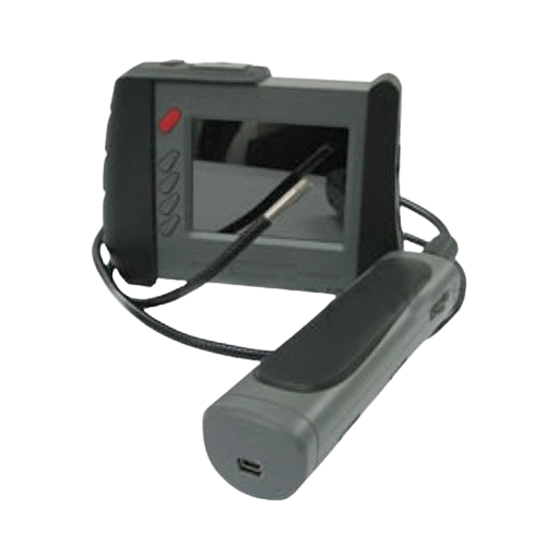
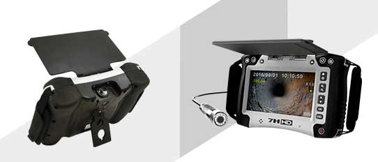
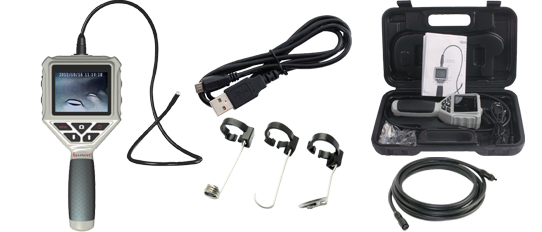
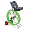 Pipe Inspection Camera System
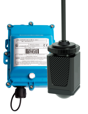
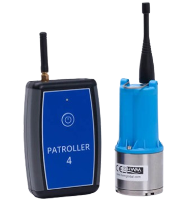
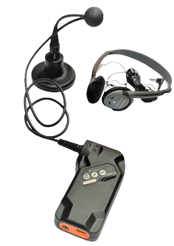
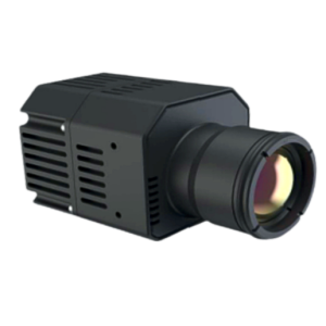
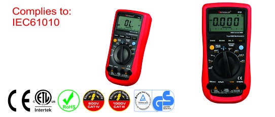
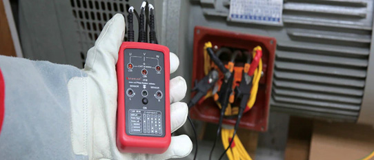
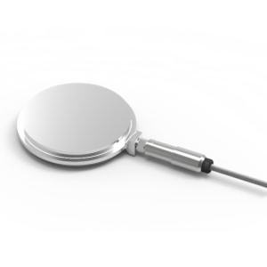
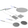
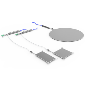
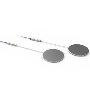
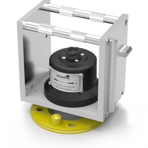
 Sewage Overflow Monitoring
Sewage Overflow Monitoring
Sewage Overflow Monitoring
Sewage Overflow Monitoring
Sewage Overflow Monitoring
Sewage Overflow Monitoring
Sewage Overflow Monitoring
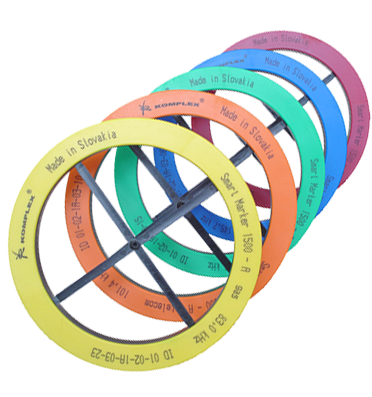
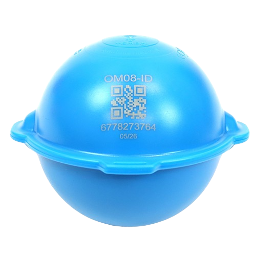
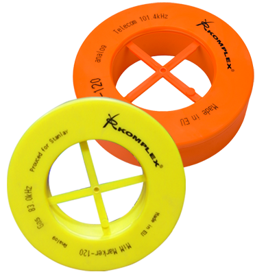
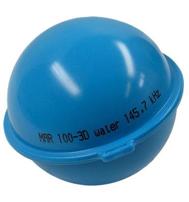
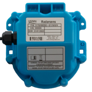
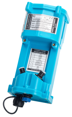
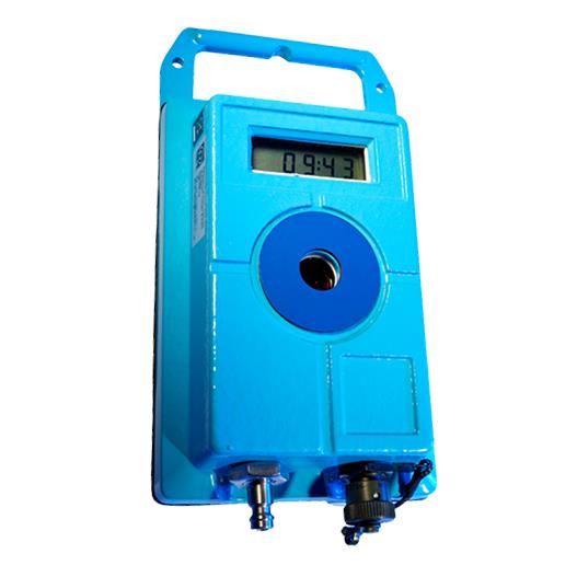
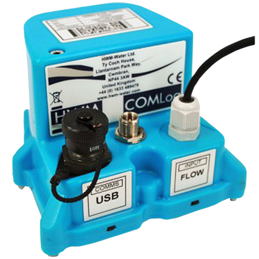
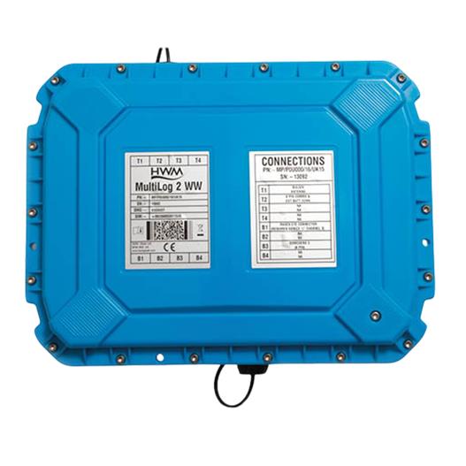
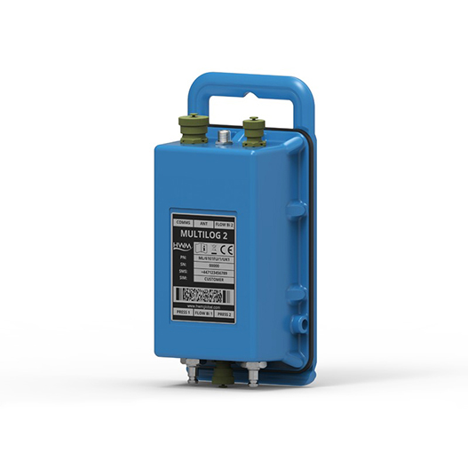
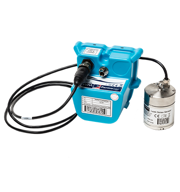
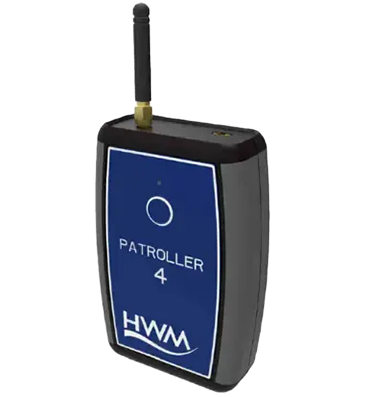
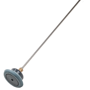
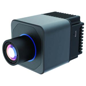
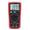
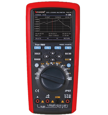
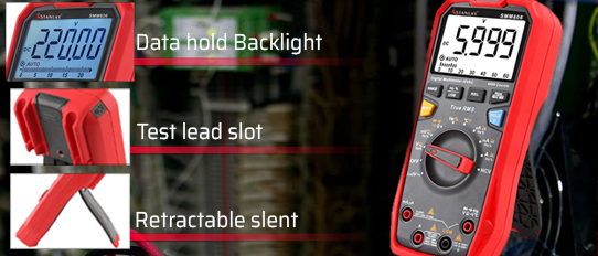
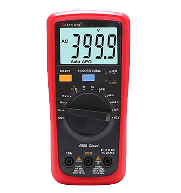
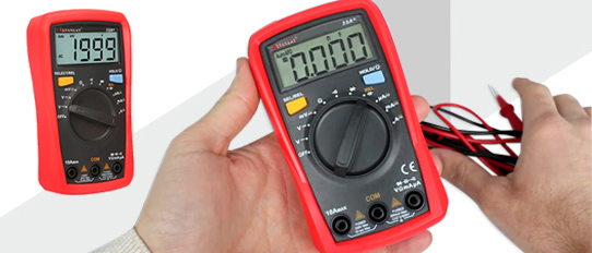
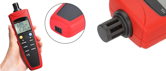
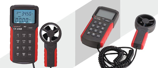
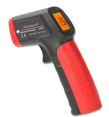
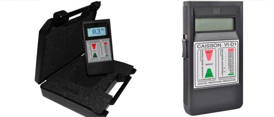
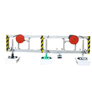
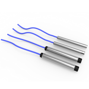
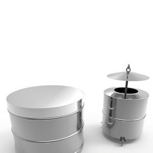
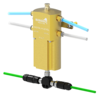
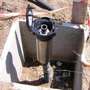
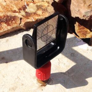
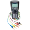
 Water Network Loggers
Water Network Loggers
Water Network Loggers
Water Network Loggers
Water Network Loggers
Water Network Loggers
Water Network Loggers
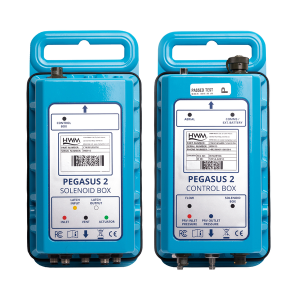
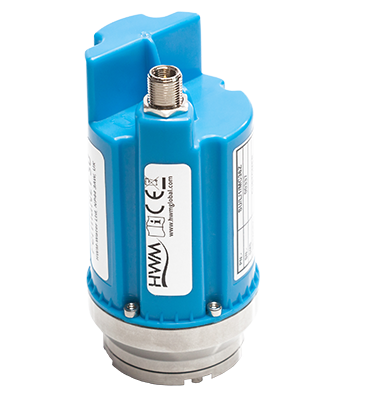
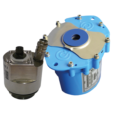
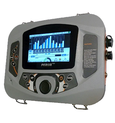
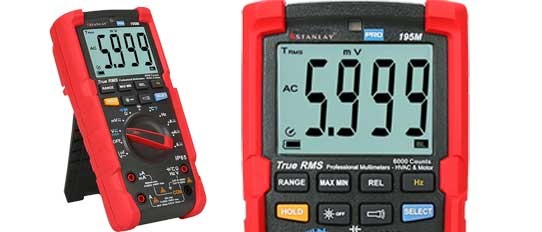
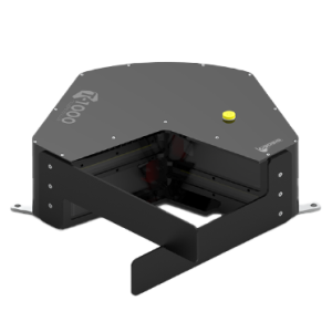
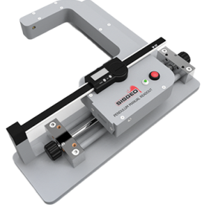
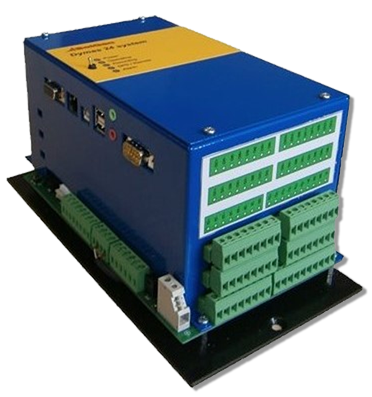
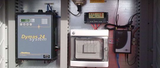
 Pressure Controller
Pressure Controller
Pressure Controller
Pressure Controller
Pressure Controller
Pressure Controller
Pressure Controller
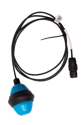
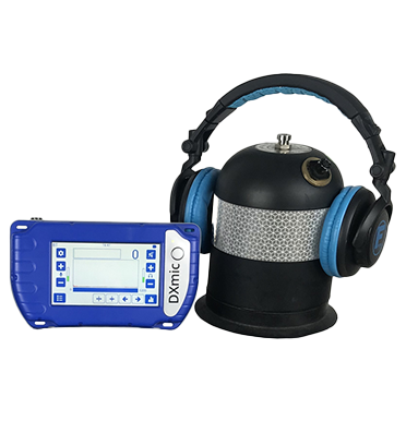
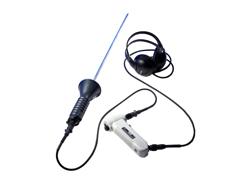
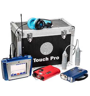
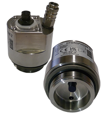
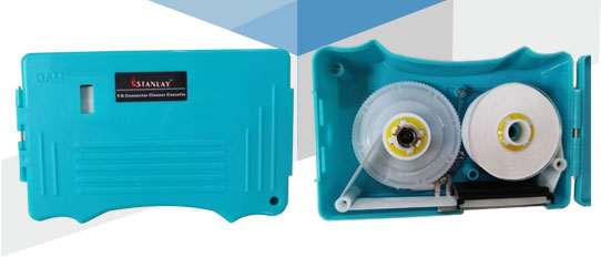
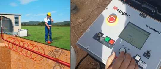
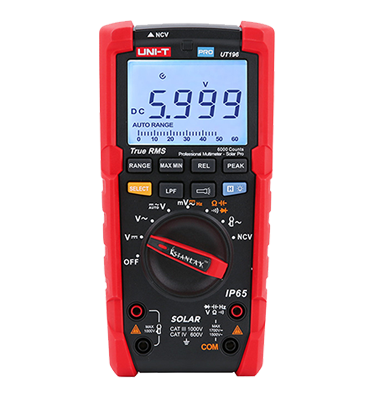
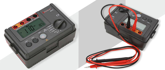
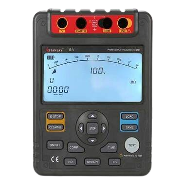
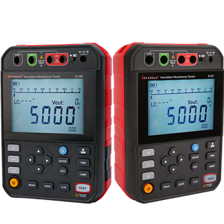
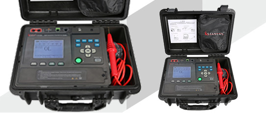
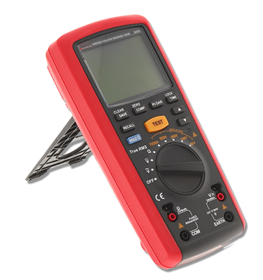
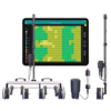
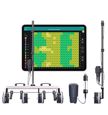
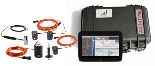
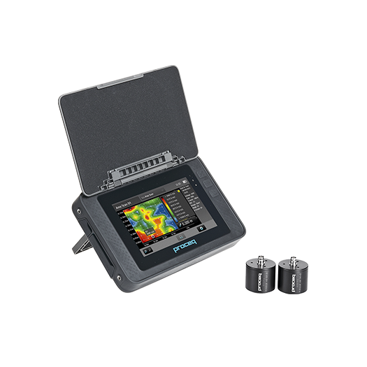
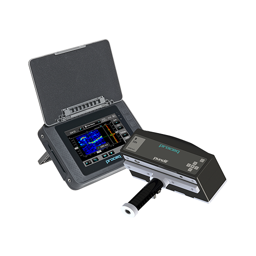
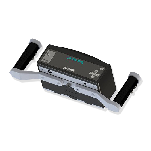
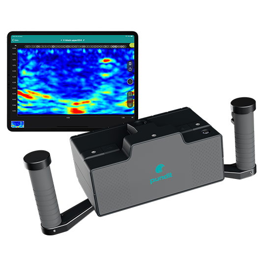
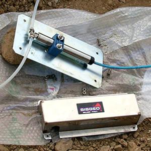
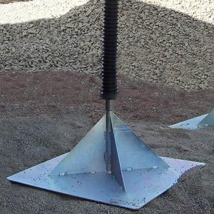
 Water Leak Detection System
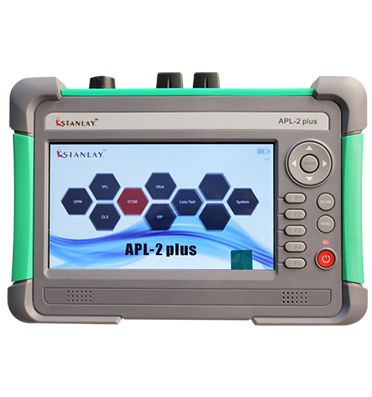
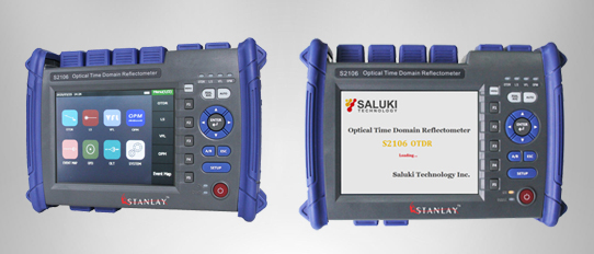
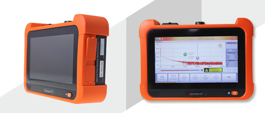
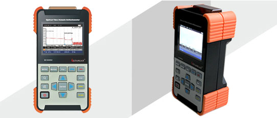
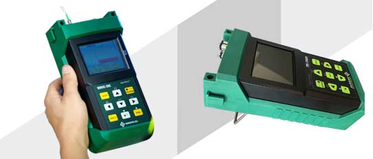
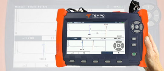
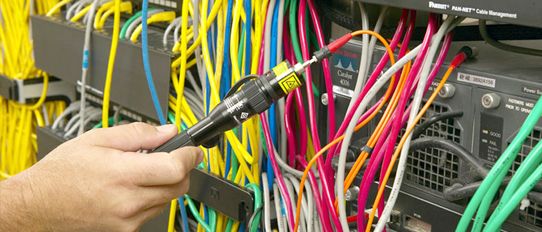
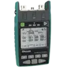
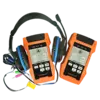
 OTDR
OTDR
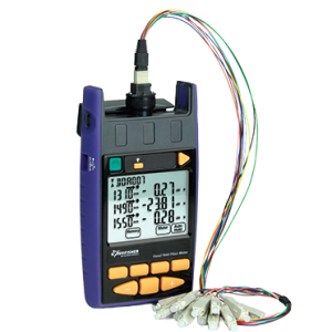
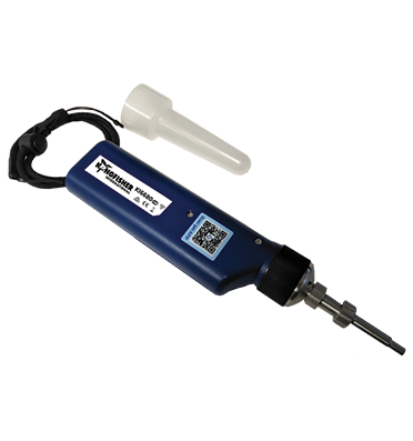
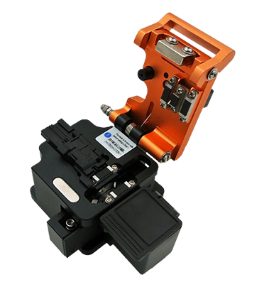
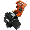
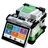 Fiber Optic Splicing Machine
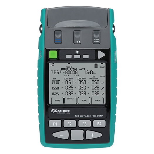
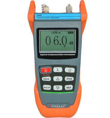
 Optical Loss Test
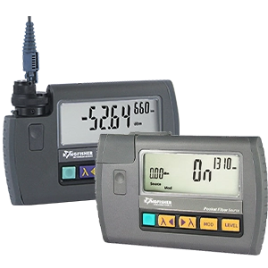
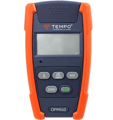
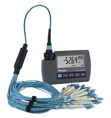
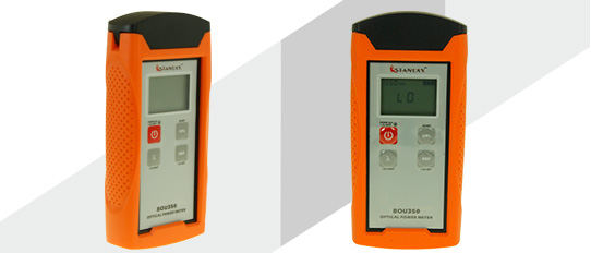
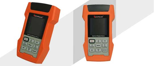
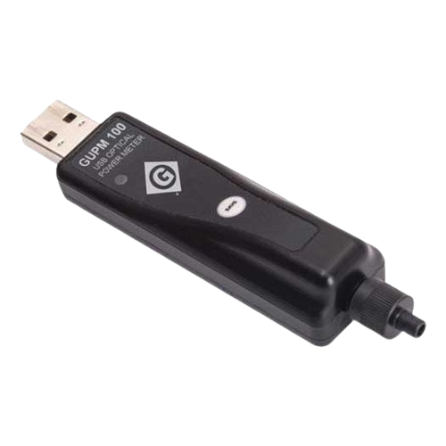
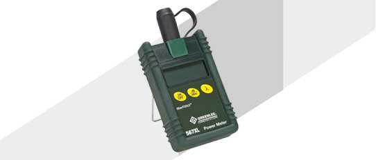
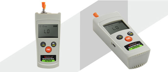
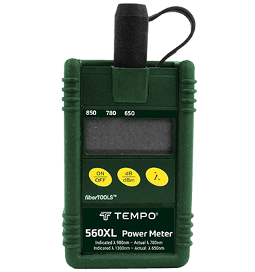
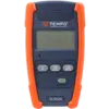
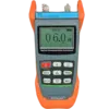
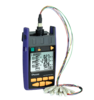 Optical Power Meters
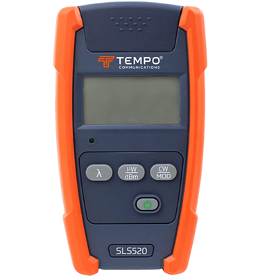
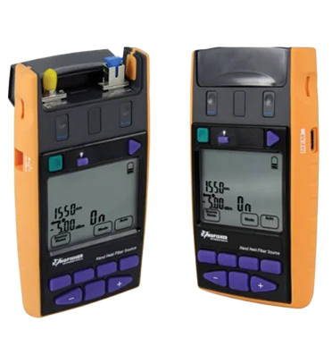
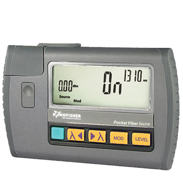
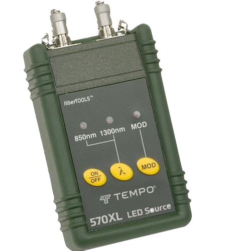
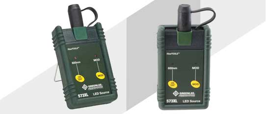
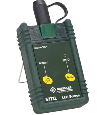
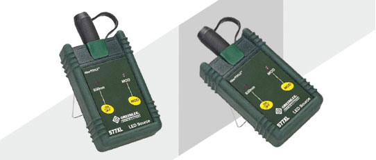
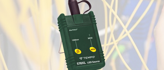
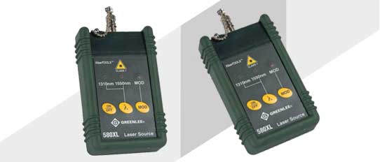
 Optical Light Source
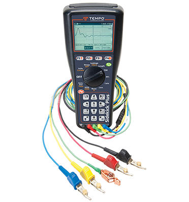
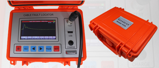
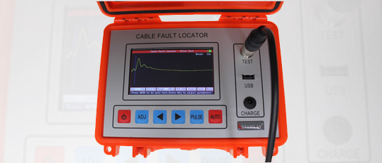
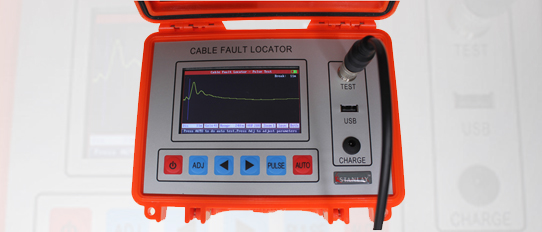
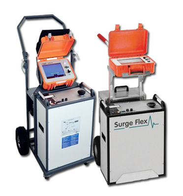
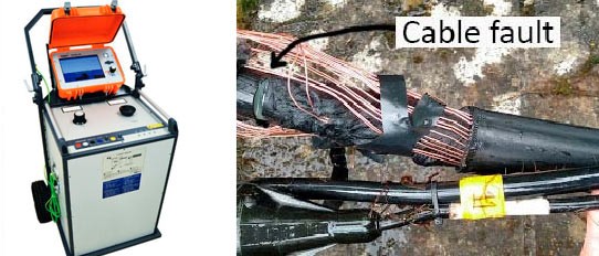
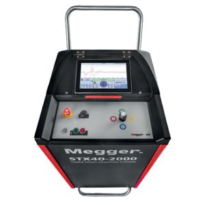
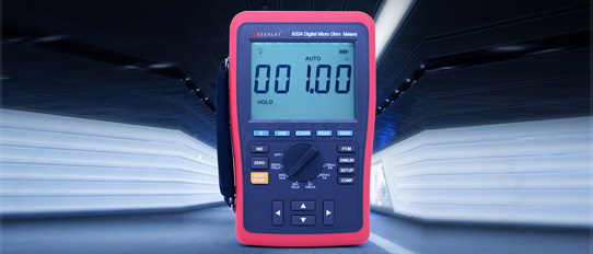
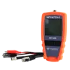
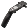
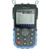
 TDR Cable Fault Locator
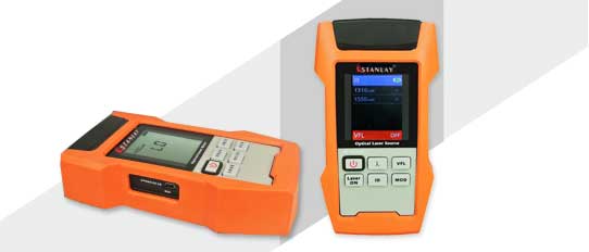
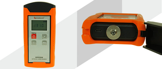
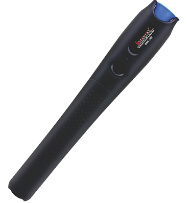
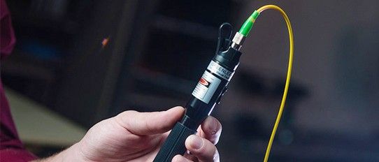
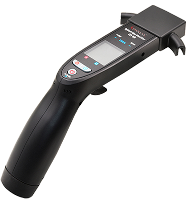
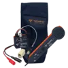
 Fiber Optic Visual Fault Locators
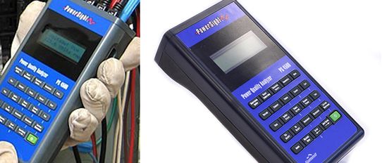
 Network Analyzer
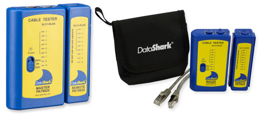
 Lan Testers
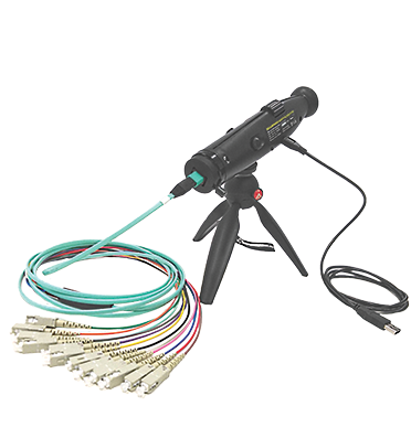
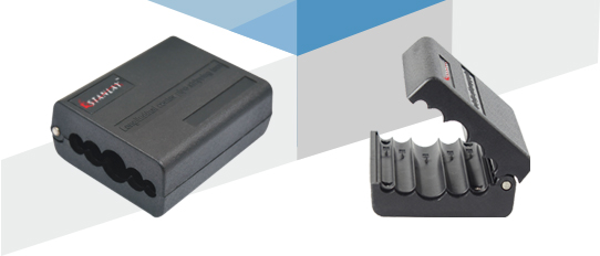
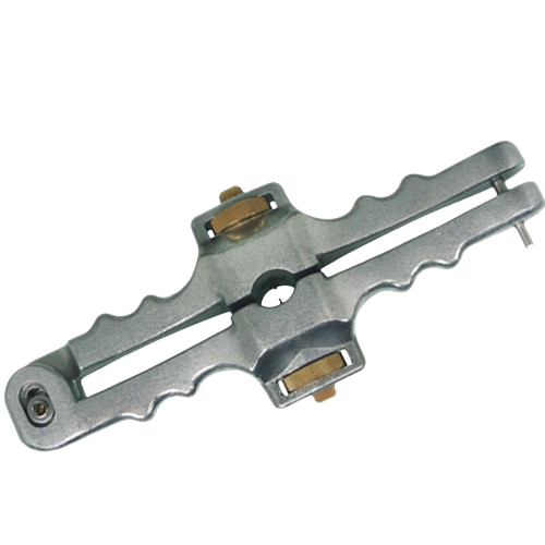
 Fiber Tools
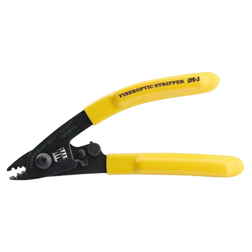
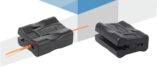
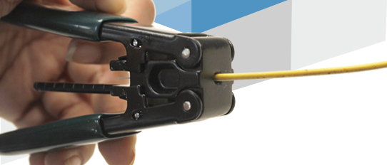
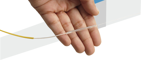
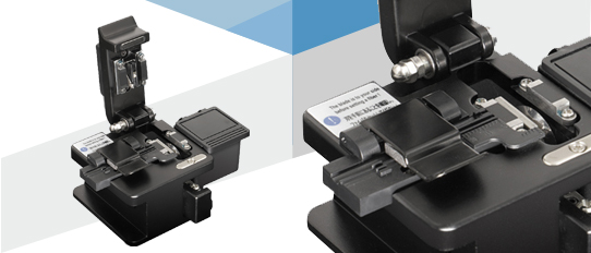
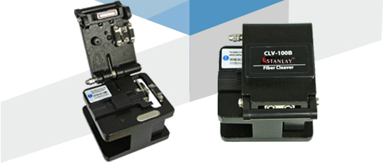
 Fiber Cleavers
 Optical Fiber Identifier
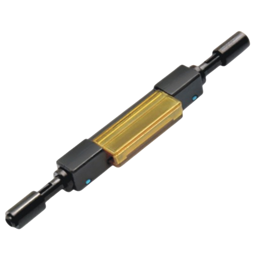
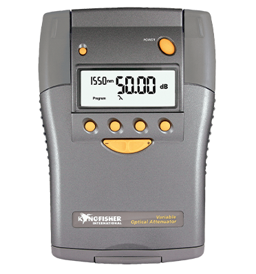
 Fiber Optical Attenuator
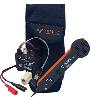
 Tone & Probe Kit
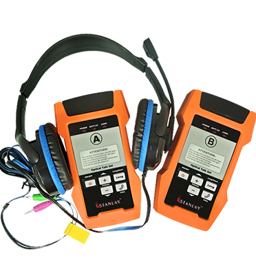
 Fiber Optical Talk Set
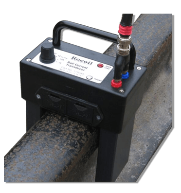
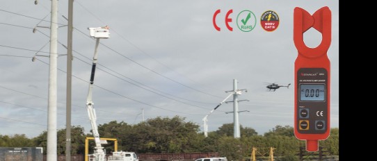
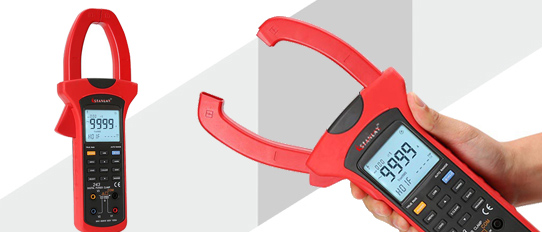
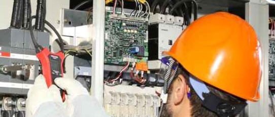
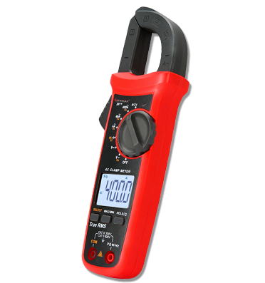
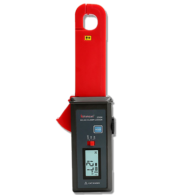
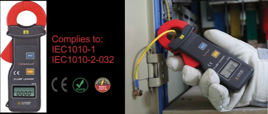
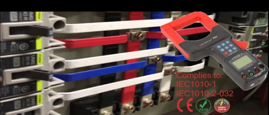
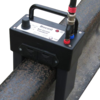 Rocoil Rail Current Transducer
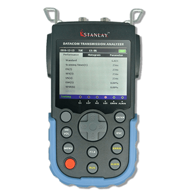
 Bit Error Rate Tester
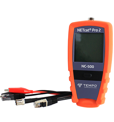
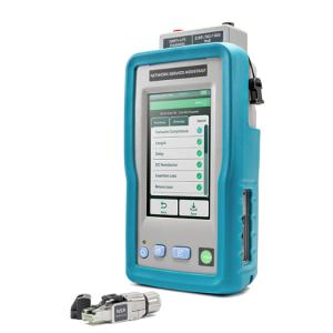
.png) Network Service Assisitants
Network Service Assisitants
Network Service Assisitants
Network Service Assisitants
Network Service Assisitants
Network Service Assisitants
Network Service Assisitants
Network Service Assisitants
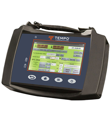
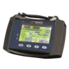
 Network Qualification Testers
Network Qualification Testers
Network Qualification Testers
Network Qualification Testers
Network Qualification Testers
Network Qualification Testers
Network Qualification Testers
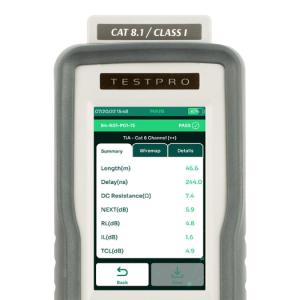
 Fiber Certification Testers
Fiber Certification Testers
Fiber Certification Testers
Fiber Certification Testers
Fiber Certification Testers
Fiber Certification Testers
Fiber Certification Testers
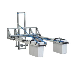
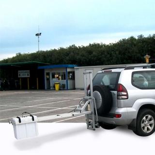
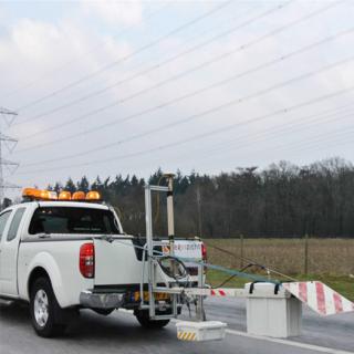
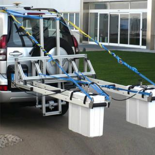
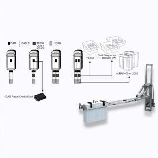
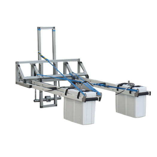
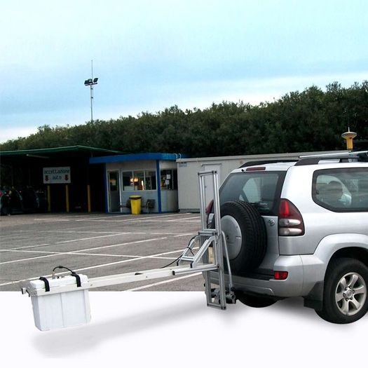
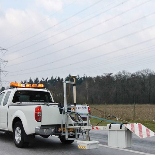

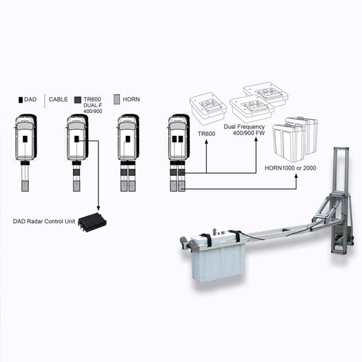
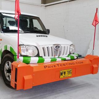
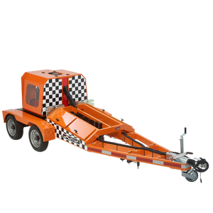
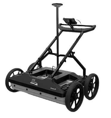
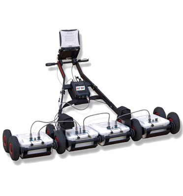
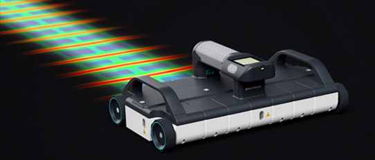
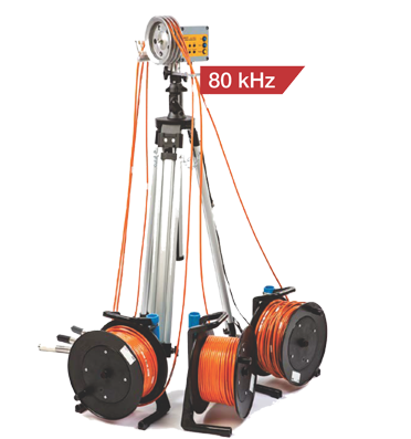
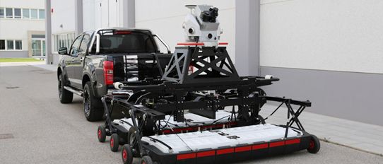
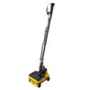
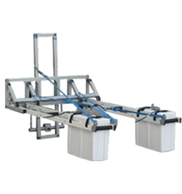
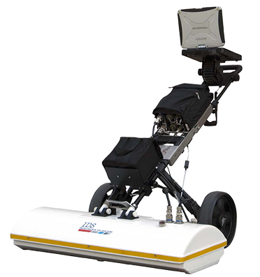
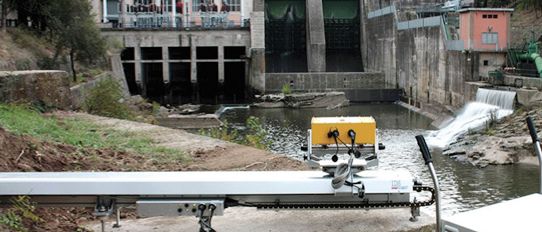
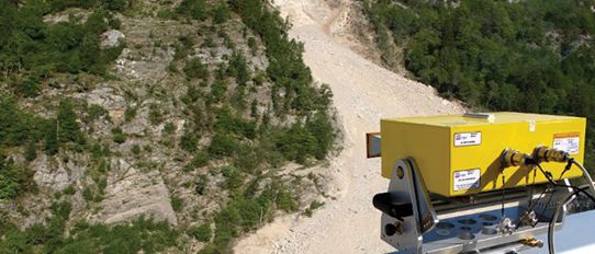
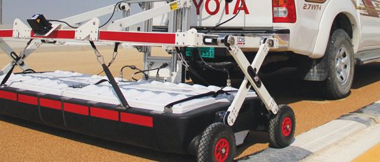
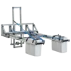
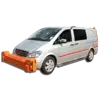
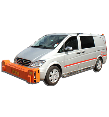
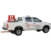
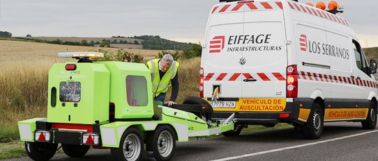
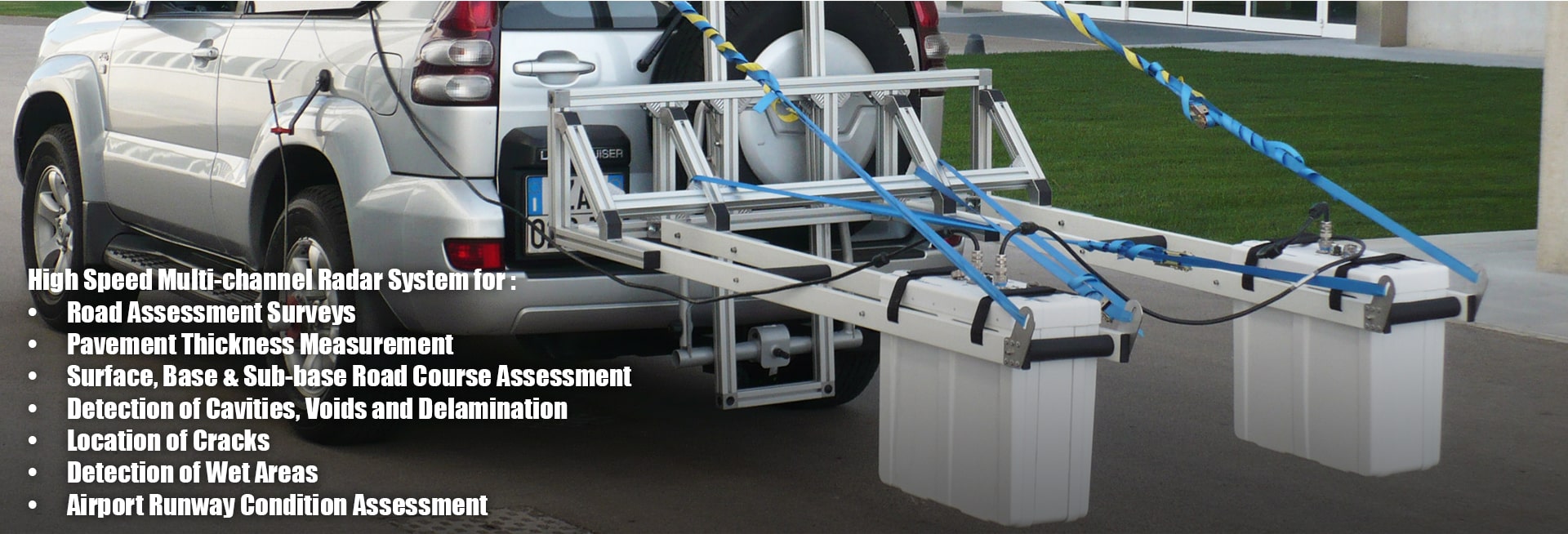
RIS Hi-Pave, is a ground penetrating radar solution for high speed complete Road & Runway Assessment Survey, operating with a single or several antennas at the same time. Provides complete assessment of road conditions, such as:
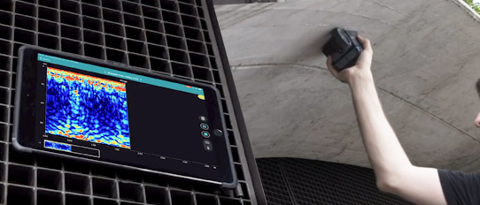
Used with GRED 3D an advanced processing software designed for easy and efficient 3D interpretation of data. It allows easy and fast interpretation of a road & runways structure, different road layers, core samples and underground anomalies. The GPR data can be saved together with a GPS file to match a radar scan with absolute coordinates. The GPS positions can be easily loaded onto software such us Google Earth
| Technical Specifications : | |
| Data Logger | Panasonic CF-19 (or alternatively any user's Windows PC with Ethernet LAN interface) |
| Radar Control Group | • Standard configuration: 1xDAD MCh FastWave • Fast configuration : 2xDAD MCh FastWave + Synchro Unit |
| Number of Channel | Up to 4 |
| Antenna Frequency | • Air Launched Antenna : HR1000 (1000 MHz) • Air Launched Antenna : HR2000 (2000 MHz) • Dipole Antenna : TR600 (600 MHz) |
| Antenna Weight (Kg) | HR1000 or 2000;6.5 TR600:3 |
| Antenna Dimensions (L x W x H) | Air Launched antenna; 53 x 23 x 50 cm Dipola Antenna ; 20 x 26 x 20 cm |
| Positioning | Metric wheel and/or GPS Interface |
| Collection Speed | Up to 250 Km/h @ 10 scan/meter, 512 samples |
| Video Camera | Synchronized radar and video data |
| Environment | IP 65 |
| Software Specifications : | |
| Processing Software | GRED 3D includes: |
| • 3D view (B-scan and C-scan) | |
| • Layers analysis and view | |
| • Manual or automatic layer tracking | |
| • Core insertion | |
| • GPS positioning from any NMEA CGA output | |
| • CAM View | |
| • Automatic and Manual data processing | |
| • Iso-surface map | |
| • Graphic comments and parameters | |
| • Color scale/palette | |
| • Propagation velocity estimation | |
| • Data Processor with all the basic filters | |
| Output Data | Excel, ASCII, HDF5, jpg, bmp |
Type your question in the Search box , fill in your name, and email ID and press send.
We will respond with the answer. Rest assured that we respect your privacy, and your details will remain confidential.