


.png)

.jpg)


.png)


.png)

.png)


.png)


.png)


.jpg)

Application requirement:
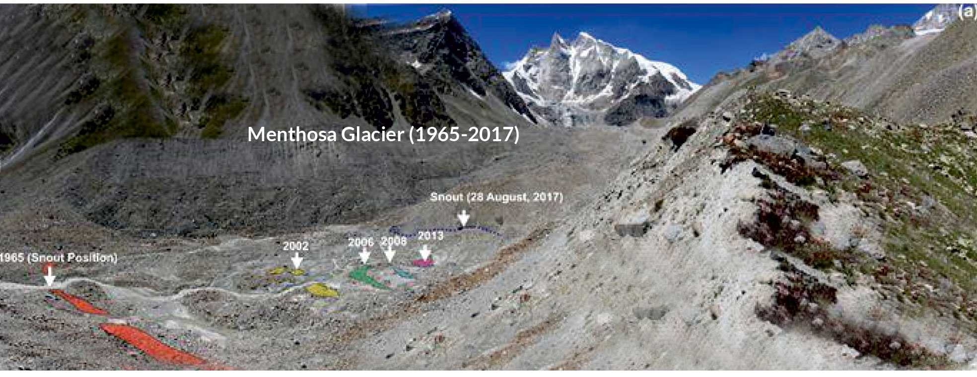
To determine Decadal Terminus Position changes and Ice Thickness of Menthosa Glacier in Lahaul Region, Himalaya Assessment of long-term glacier fluctuation was required in respect of climate changes to obtain vital information regarding future demand of hydro power projects, global sea level & water supply to agriculture & other ecosystems.
Jawaharlal Nehru University (JNU)

Solution:
RIS Plus GPR is used to assess ice thickness of Menthosa glacier for water reserve stored in glacier as well as to comprehend the future of glacier evolution in response to simulated climate change scenarios.
RIS Plus GPR is used to assess ice thickness of Menthosa glacier for water reserve stored in glacier as well as to comprehend the future of glacier evolution in response to simulated climate change scenarios.
Since last 5 decades, studies were based on 2-dimensional glacier changes ( changes in area & length of glacier) that only provide the rough approximation of climate change.
In recent years Remote Sensing Modelled Based Method were also used to determine the ice thickness of glacier across Himalayan region & due to low resolution dataset, data gap, averaging effect & post processing limitation the output data was not reliable.
To remove the substantial gap in glacier study & in order to get the accurate information about climate change, GPR based ice thickness measurement was required.
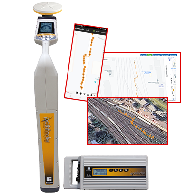
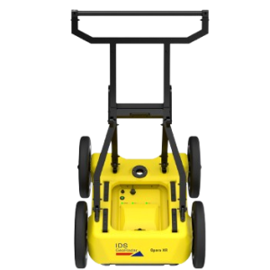
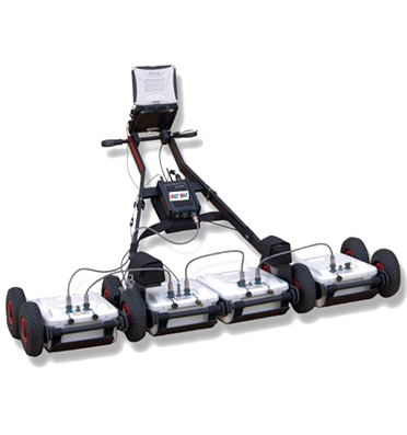
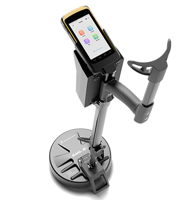
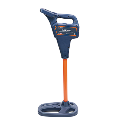
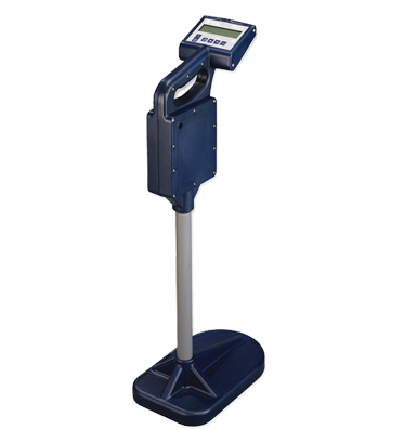
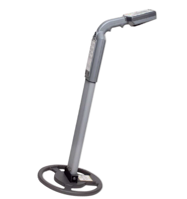
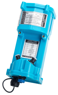
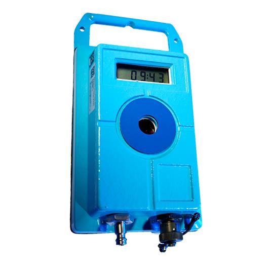
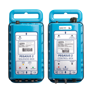
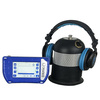
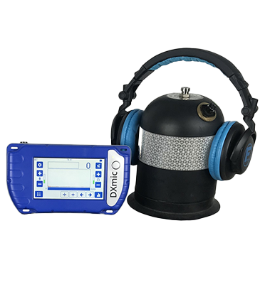
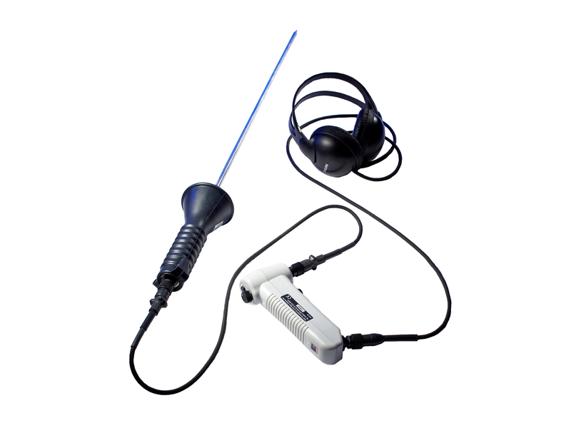
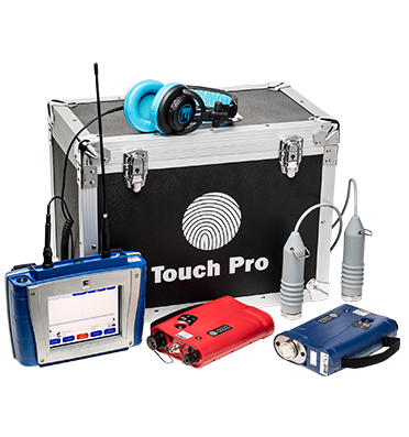
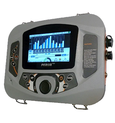
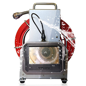
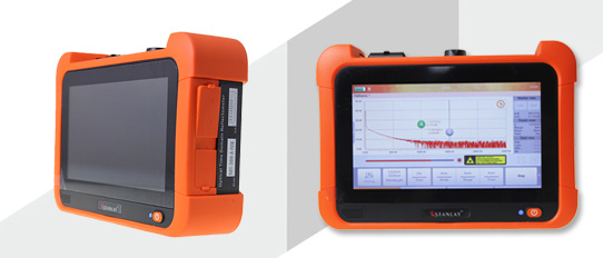
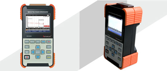
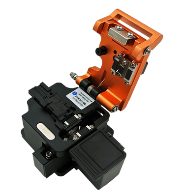
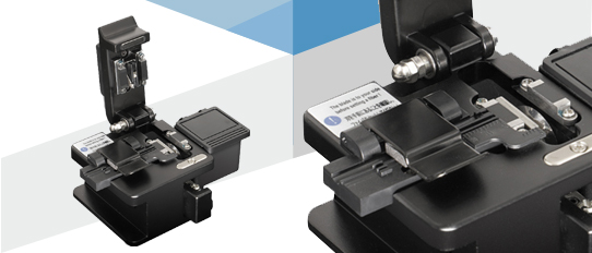
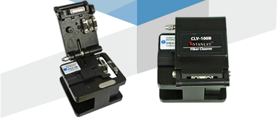
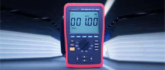
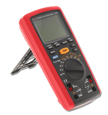
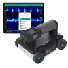
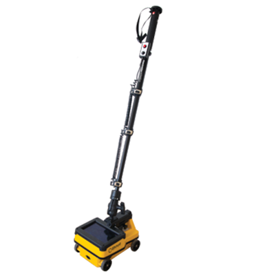
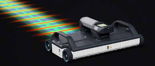
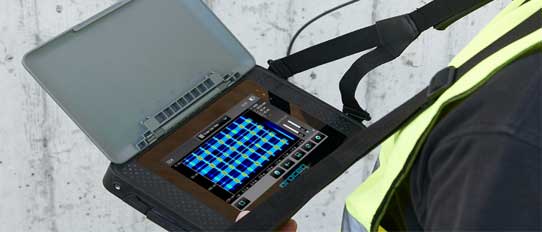
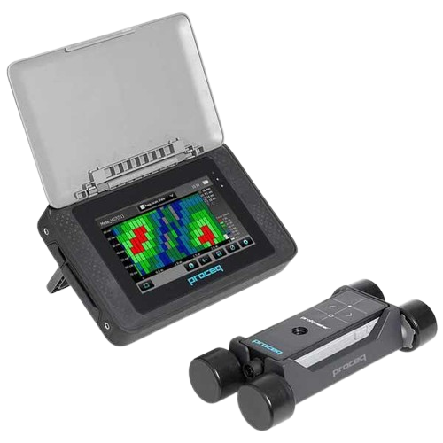
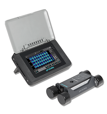
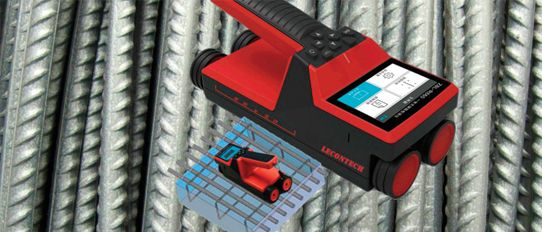
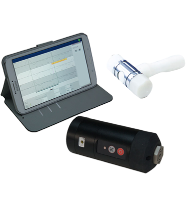
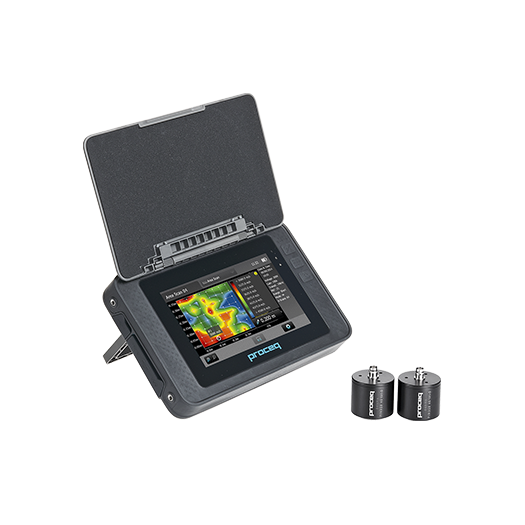
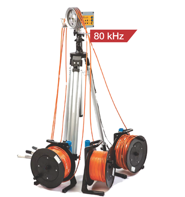
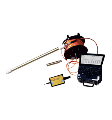
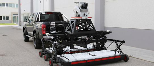
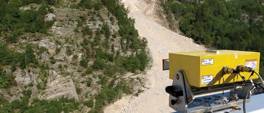
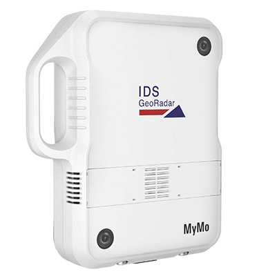
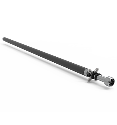
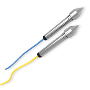
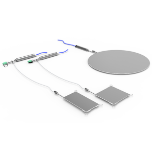
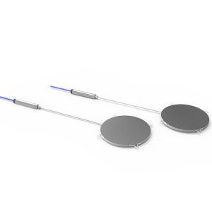
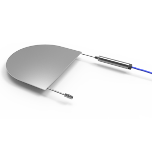
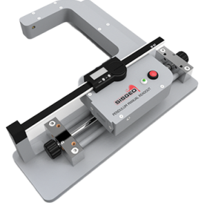
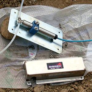
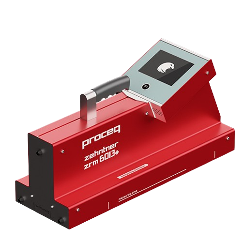
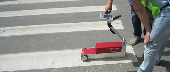
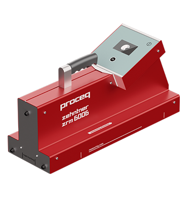
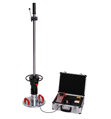
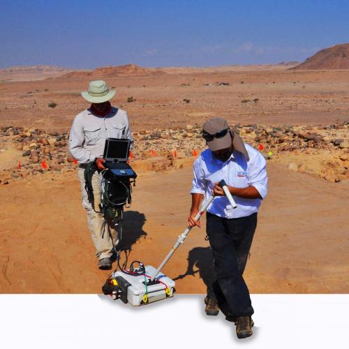
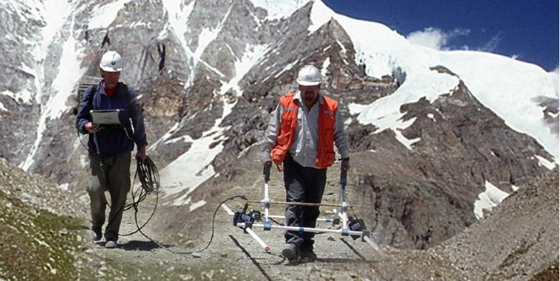
Thus, RIS PLUS , the most compact and lightweight GPR supported by antennas operating in 25 MHz to 2.6 GHz frequency range was supplied to assess the ice thickness for glacier study.
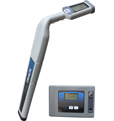
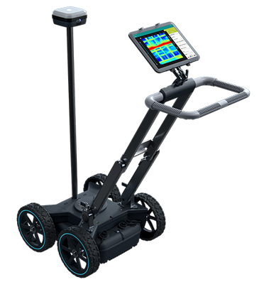
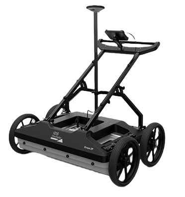
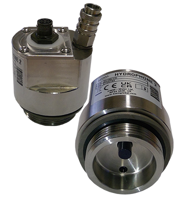
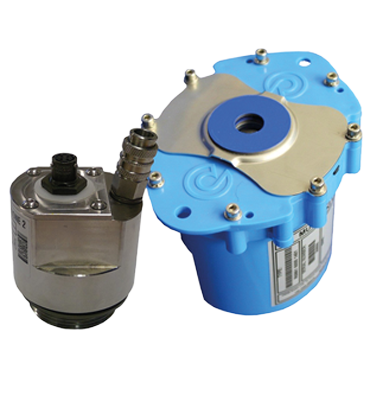
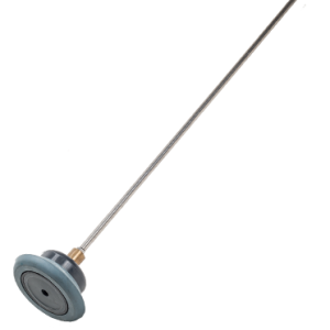
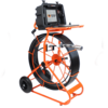
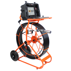
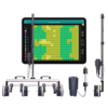
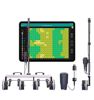
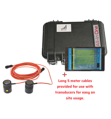
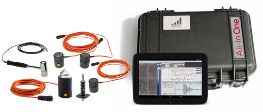
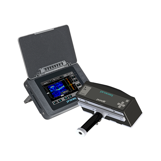
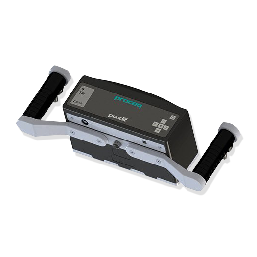
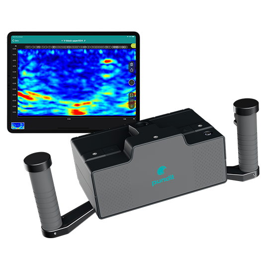
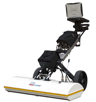
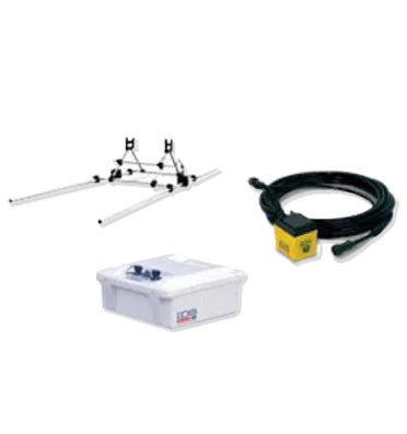
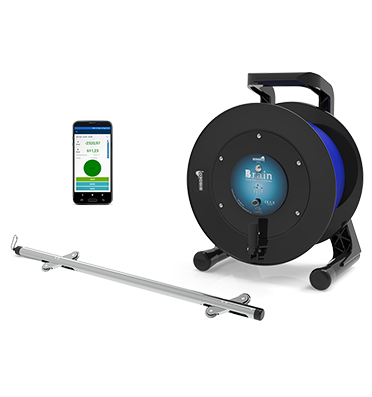
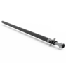
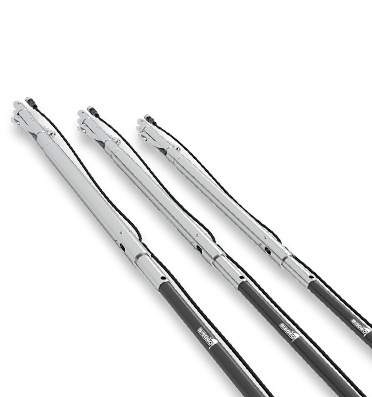
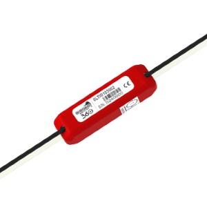
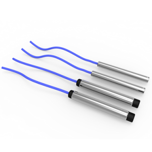
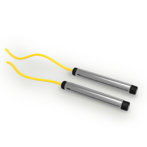
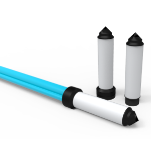
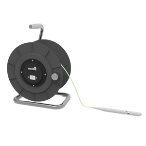
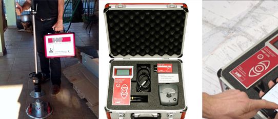
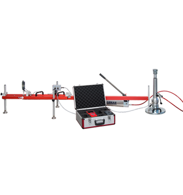
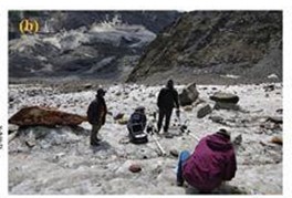
The RIS Plus Ground Penetrating Radar system used for the present study is comprised of unshielded antennas, transmitter (Tx) and receiver (Rx), one fast-wave control unit (DAD), battery, network cable and a Toshiba laptop for data visualization, storage and processing.
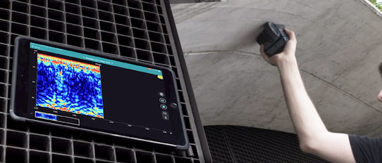
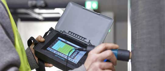
Before starting the survey, the GPR unit was calibrated by moving from initial line of survey on the glacier surface, where instrument auto-matically calculated the calibrated distance. Data were acquired using K2 Fast Wave Software (02.00), and GPR data stored in DZT (.dzt) format.
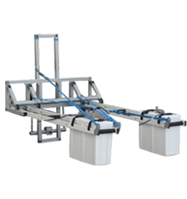
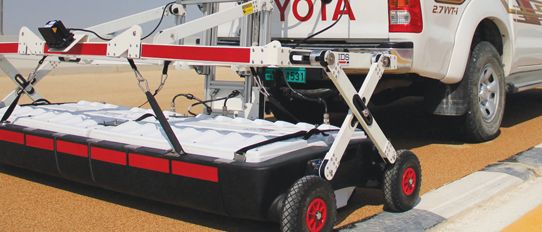
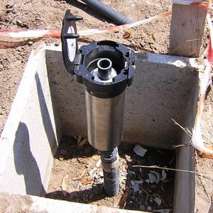
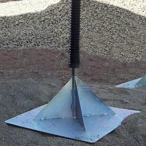
To make the traverse easier on rough sliding surface, a pair of ski sledge was attached underneath of the GPR unit for seamless survey. In order to reduce the noise and avoid the problem of fast-slip of this GPR instrument on the glacier ice, the surface scans were obtained at carefully measured speed.
Output data were processed using the GRED HD post-processing software of the IDS GPR. In the post-processing operation, different filters were applied to eliminate the noise and improve the radar profiles information to calculate the ice thickness of Menthosa.
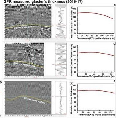
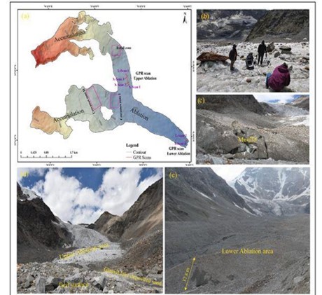
GPR surveys were conducted during 2016 (lower ablation area) and 2017 (upper left tributary part of ablation area). Six GPR profiles were taken and surveyed over the Menthosa Glacier, four profiles in the upper left tributary part, and two in the lower ablation area of the glacier. Out of six, two profiles are longitudinal; one in upper ablation and one in lower ablation area and four transverse profiles.
GPR profiles quantified that the glacier-ice thickness ranges from 24 meters at the lower part, and gradually increases to about 55 meters at the thickest protruding part in the upper ablation area of the Menthosa Glacier. The GPR based estimated ice thickness in the lower ablation area varies from 38 to 42 meters.
This study provides a comprehensive analysis of Menthosa Glacier on ice thickness, frontal retreat and area changes during the past half-century (1965–2016) and evaluated its response to the climatic conditions.
It was observed that Menthosa Glacier has receded by 301.5 ± 19.2 m during the last 51 years (1965-2016), with an average annual retreat rate of 5.9 ± 0.4m a−1, whereas for the same period area loss of 0.09 km2 was measured. The climatic parameters trends of snowfall, rainfall and temperature established the relationship of glacier recession in response to global warming and decreased snowfall. For instance, a decreasing trend of snowfall over the past four decades and increasing trend of temperature over the past century has resulted impact on the retreat of the glacier.