


.png)

.jpg)


.png)


.png)
.png)


.png)


.png)


.jpg)
Application requirement:
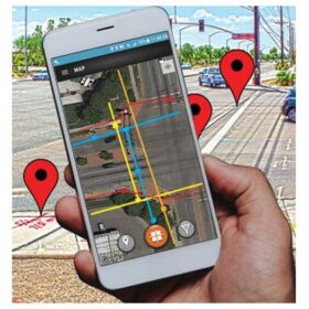
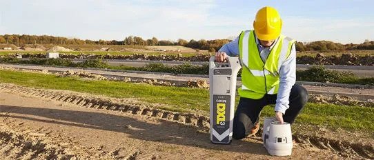
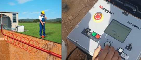
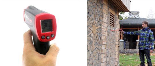
Utility detection for National High-Speed Rail Project.
National High-Speed Rail had the requirement for a utility locating device for preliminary survey & route tracing of buried utilities prior initiation of a project works. This is because, NHSRCL site includes many localities which include Municipality areas, Panchayats, Railways lands etc. In addition, to validate available built maps of laid utilities & finally, to obtain GPS coordinates of cable /pipe routers being traced.
National High-Speed Rail Corporation Ltd (NHSRCL)

Solution:
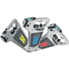
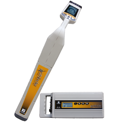
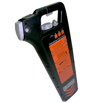
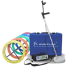
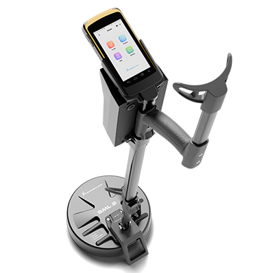
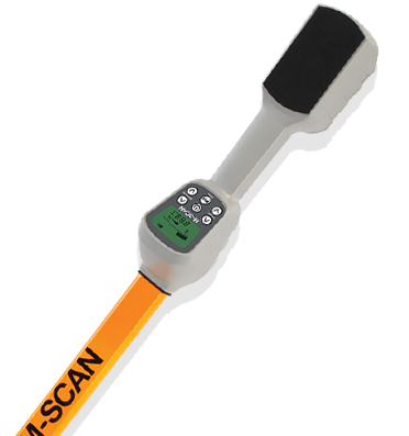
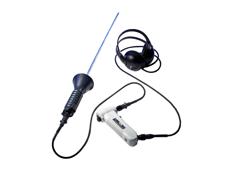
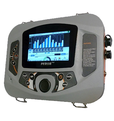
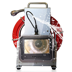
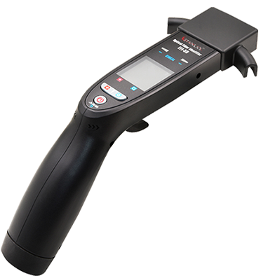
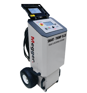
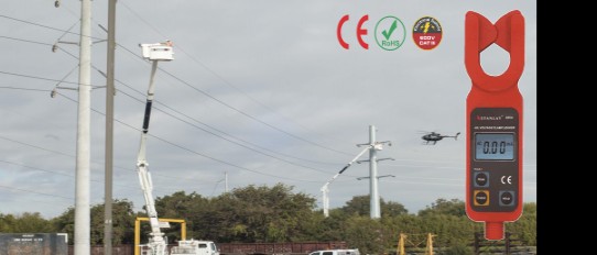
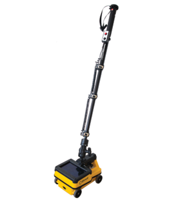
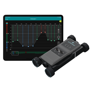
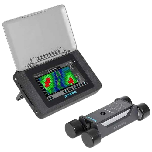
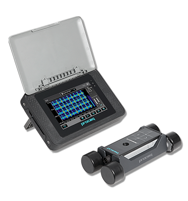
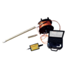
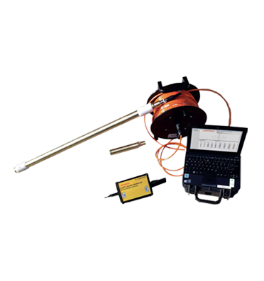
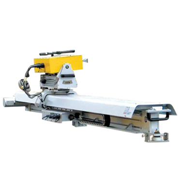
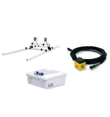
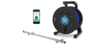
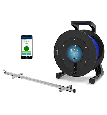
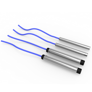
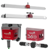
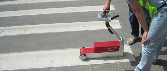
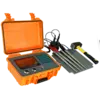
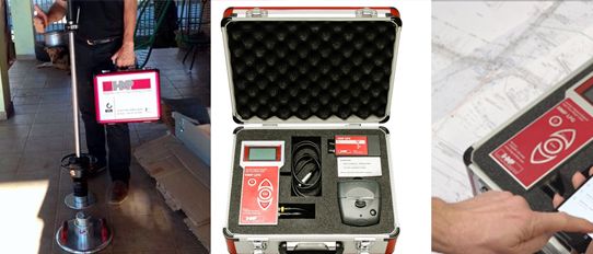
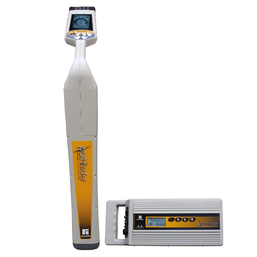
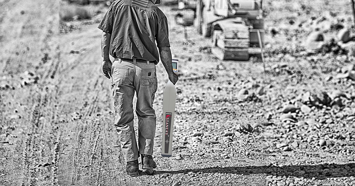
High Power GPS Enabled cable route tracer STLOC10 Pathfinder GPS was shortlisted for this application after an extensive demo at site.
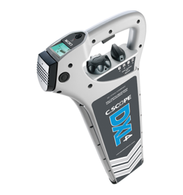
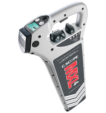
STLOC Pathfinder based on SAF technology were supplied to provide the operators a cable route tracer that can be utilized for cable & pipe locating in the most congested utility environment for long-distance tracing of pipe or cables.
STLOC Pathfinder based on SAF technology were supplied to provide the operators a cable route tracer that can be utilized for cable & pipe locating in the most congested utility environment for long-distance tracing of pipe or cables.
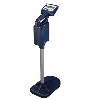
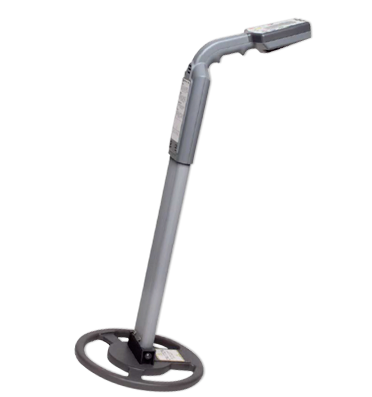
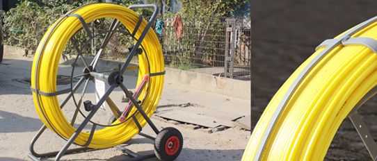
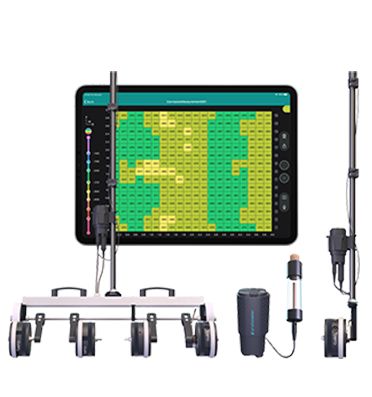
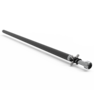
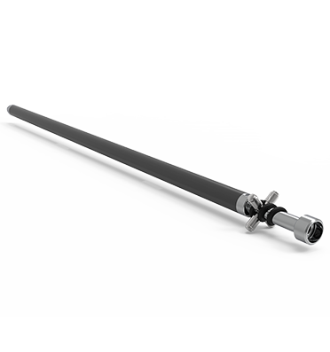
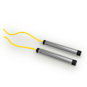
The Pathfinder is a multi-frequency cable pipe route locator that provides the operators an option to add or delete over 36 frequency options based on field requirements ranging from 512Hz to 476.2kHz, to allow the operator to choose low to high frequency most ideal for that specific utility locating environment.
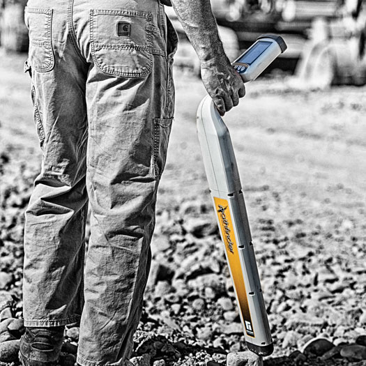
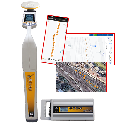
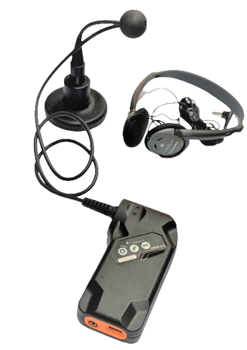
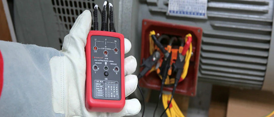
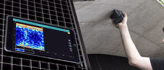
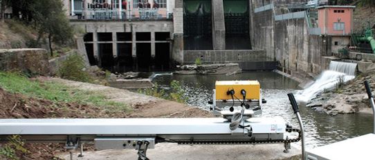
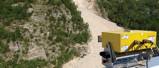
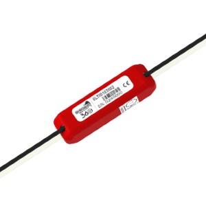
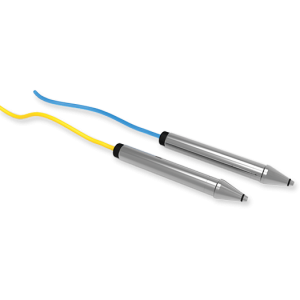
GPS data is automatically acquired during the route tracing process & selectively logged in every 7 seconds.The equipment was used to carry out an extensive underground utility detection and mapping with the Stanlay STLOC10 Pathfinder GPS. Wherever they had access to the utility, they connected the transmitter with the signal clamp and wherever they didn’t have access to the utility, induction method was used. Underground utility with accurate depth and direction, with pin-pointed location and GPS coordinates were logged with the help of the STLOC10 Pathfinder GPS.